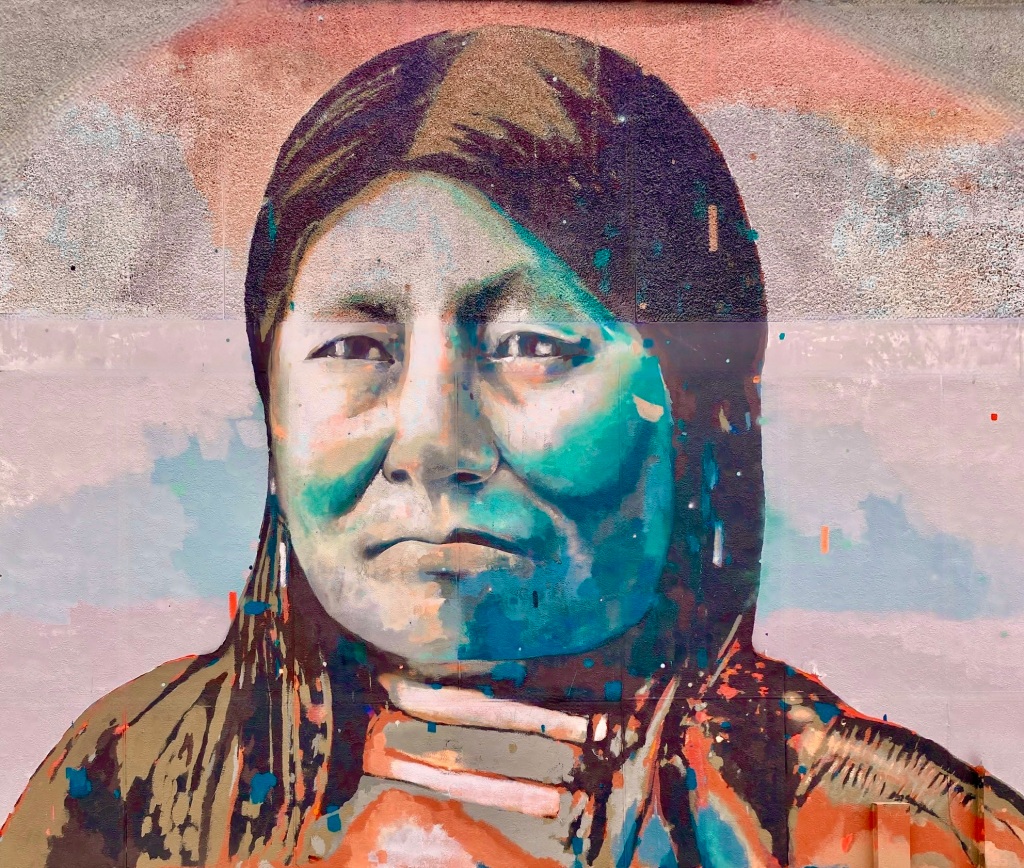
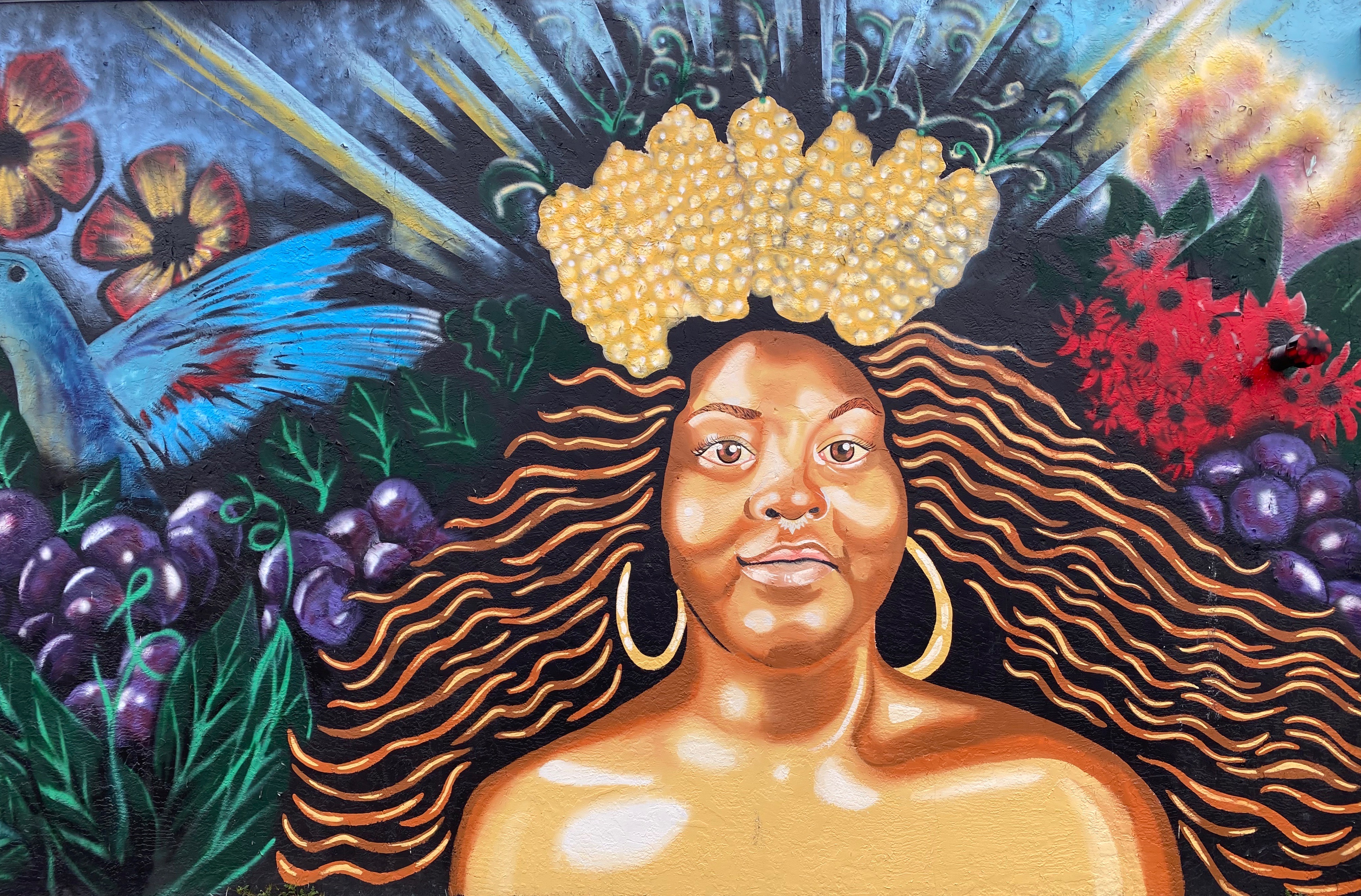
The Cornhusker State: Blown Fuses, Hump Yards, Emigrants and Buffalo Bill: Part One

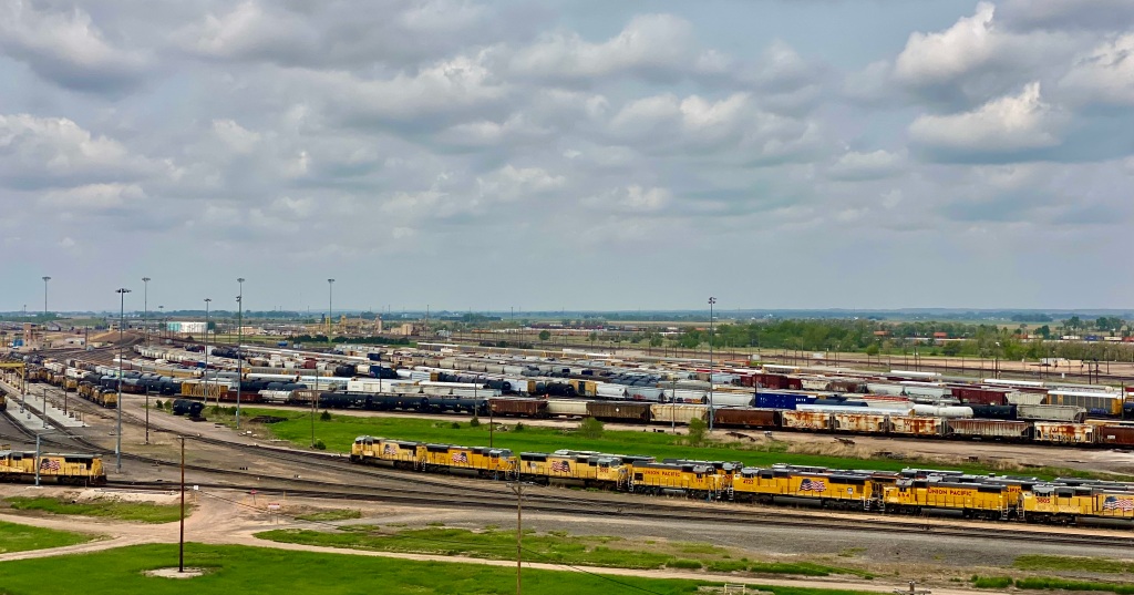
Bailey Yard, Union Pacific Railroad, North Platte, Nebraska
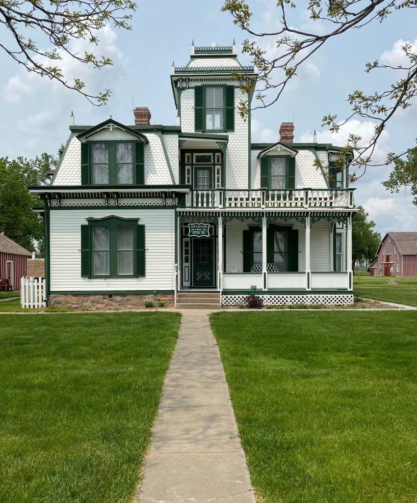
Second Empire Home, William F. Cody, Scouts Rest Ranch, North Platte, Nebraska
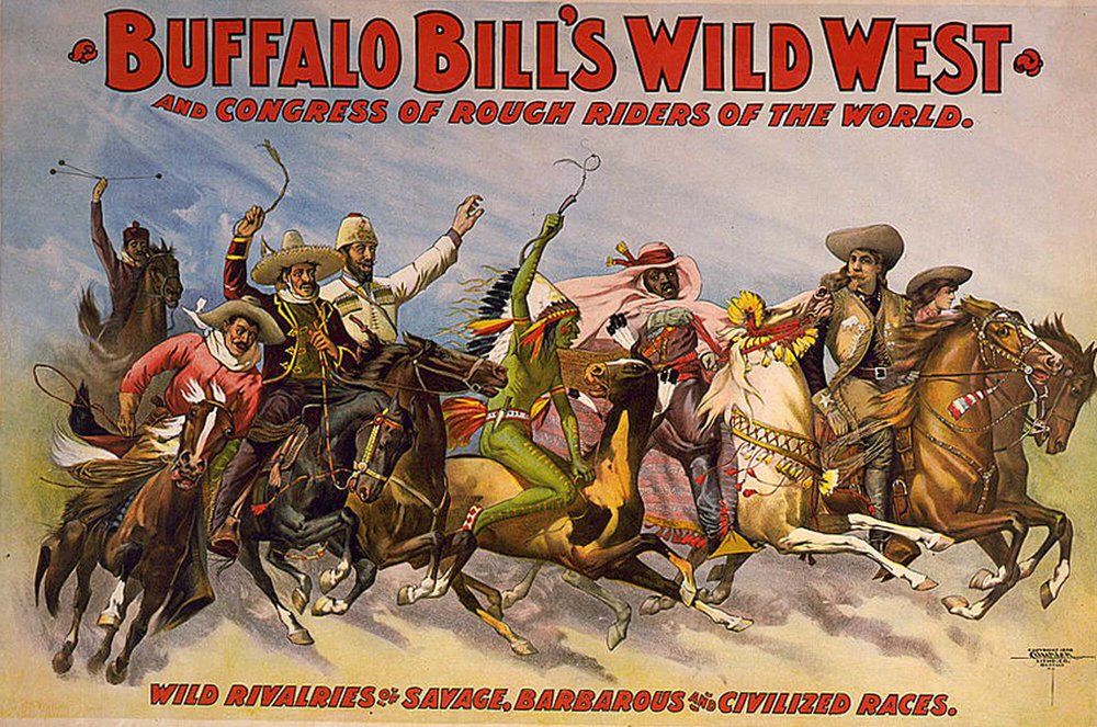
Buffalo Bill’s Wild West Show
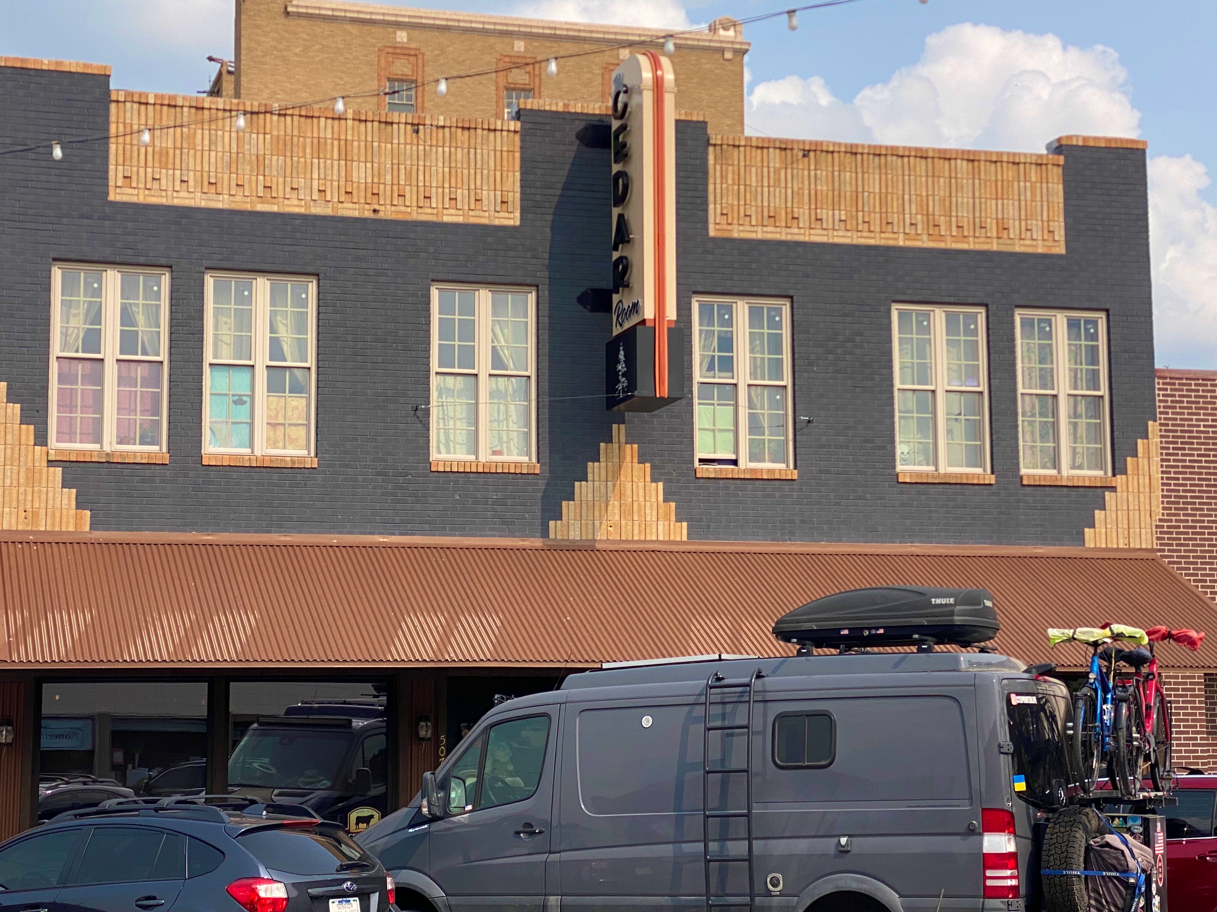
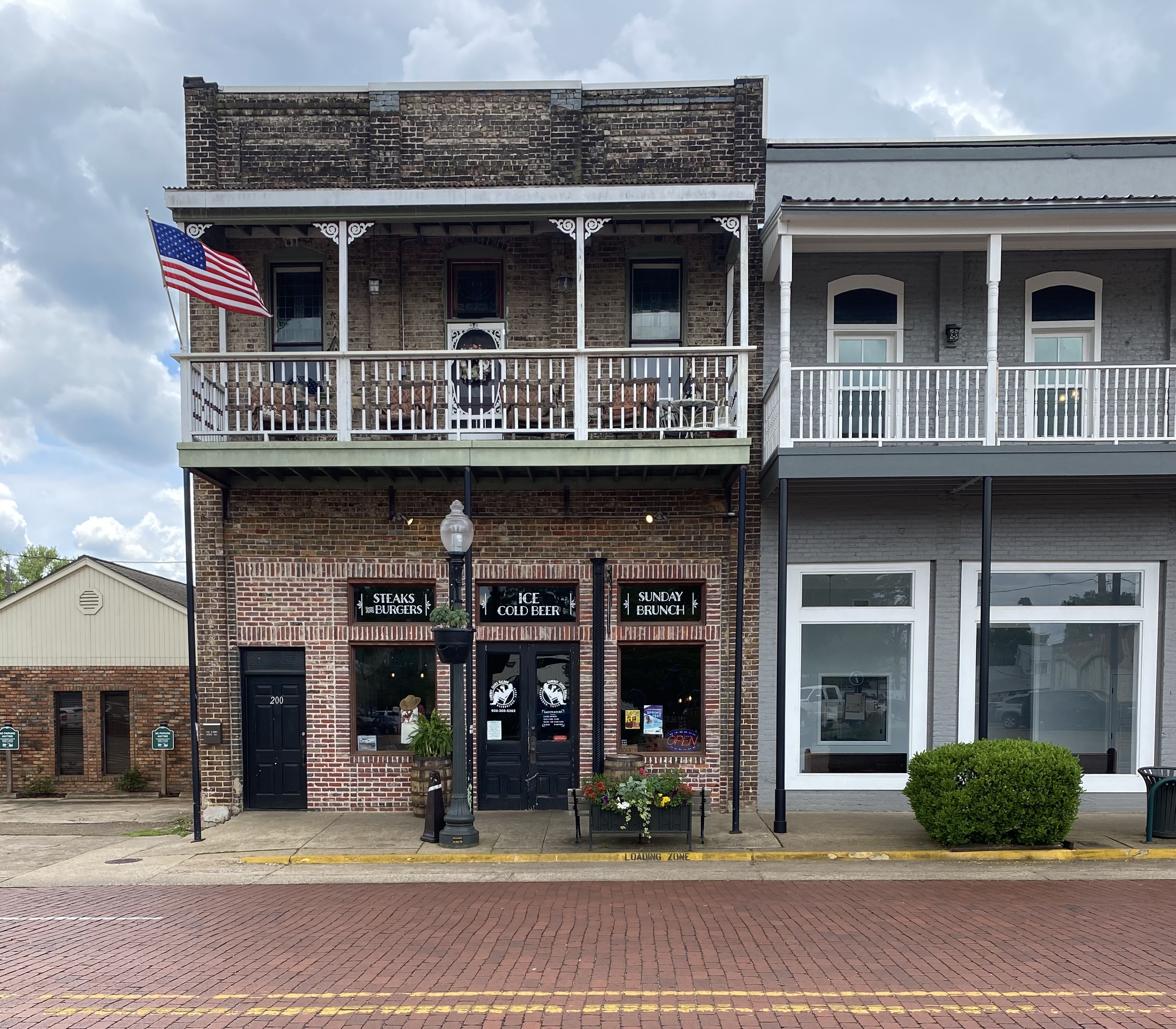
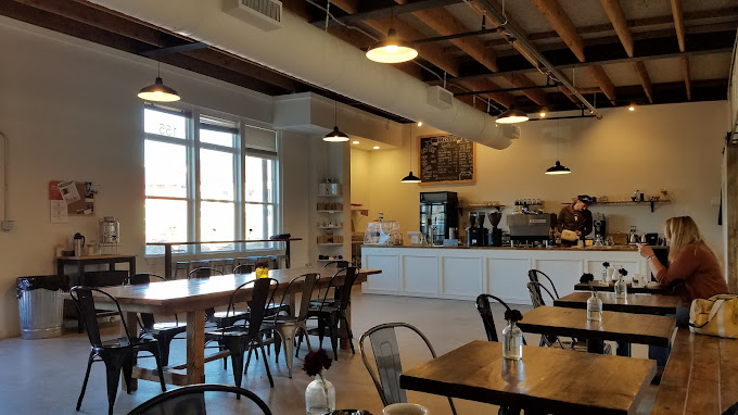
Cedar Room, North Platte, Nebraska
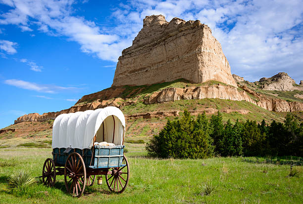
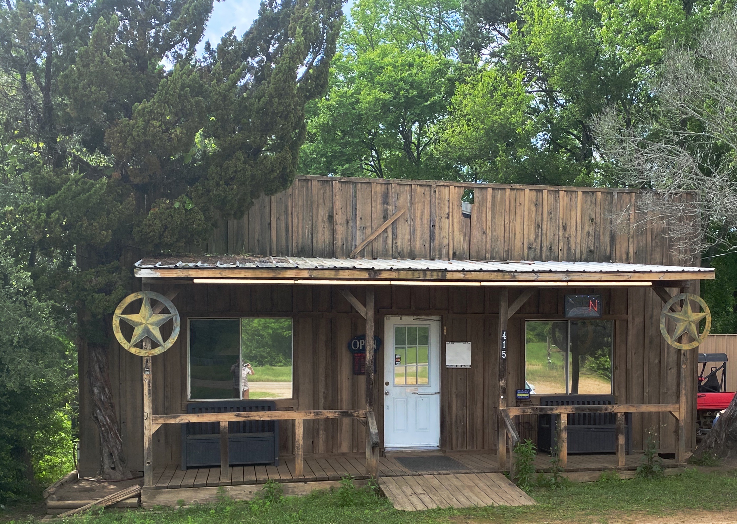
Stenger Ranch, Box Elder Canyon, Nebraska (Photo courtesy of The Cedar Room)

El Paso del Norte

We had been in Texas and New Mexico several times prior to our most recent trip, but for some reason had steered around El Paso (EP). Perhaps the timing was just not right or we were concerned about conditions there based on the reporting regarding the immigration issues at the border. Regardless, we were ready to explore EP as part of our OTR 9.0 adventure and draw our own conclusions about the city.

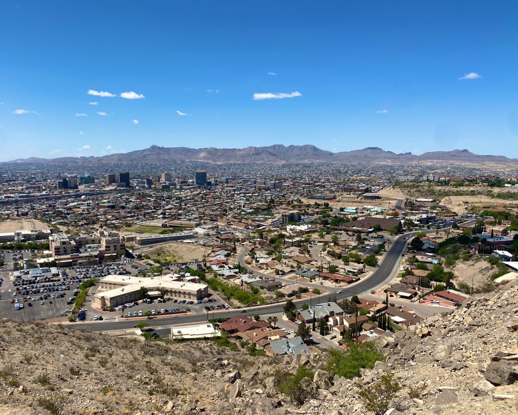
El Paso, Texas and Juarez, Mexico viewed from Scenic Drive

We made the decision to stay in the city and booked a hotel in the University district for three nights. We are glad we chose this area as it enabled us to walk to a number of casual but excellent restaurants and coffee shops dotting the university neighborhood. This was especially nice as EP is a sprawling metropolis that requires some driving in order to explore the city.

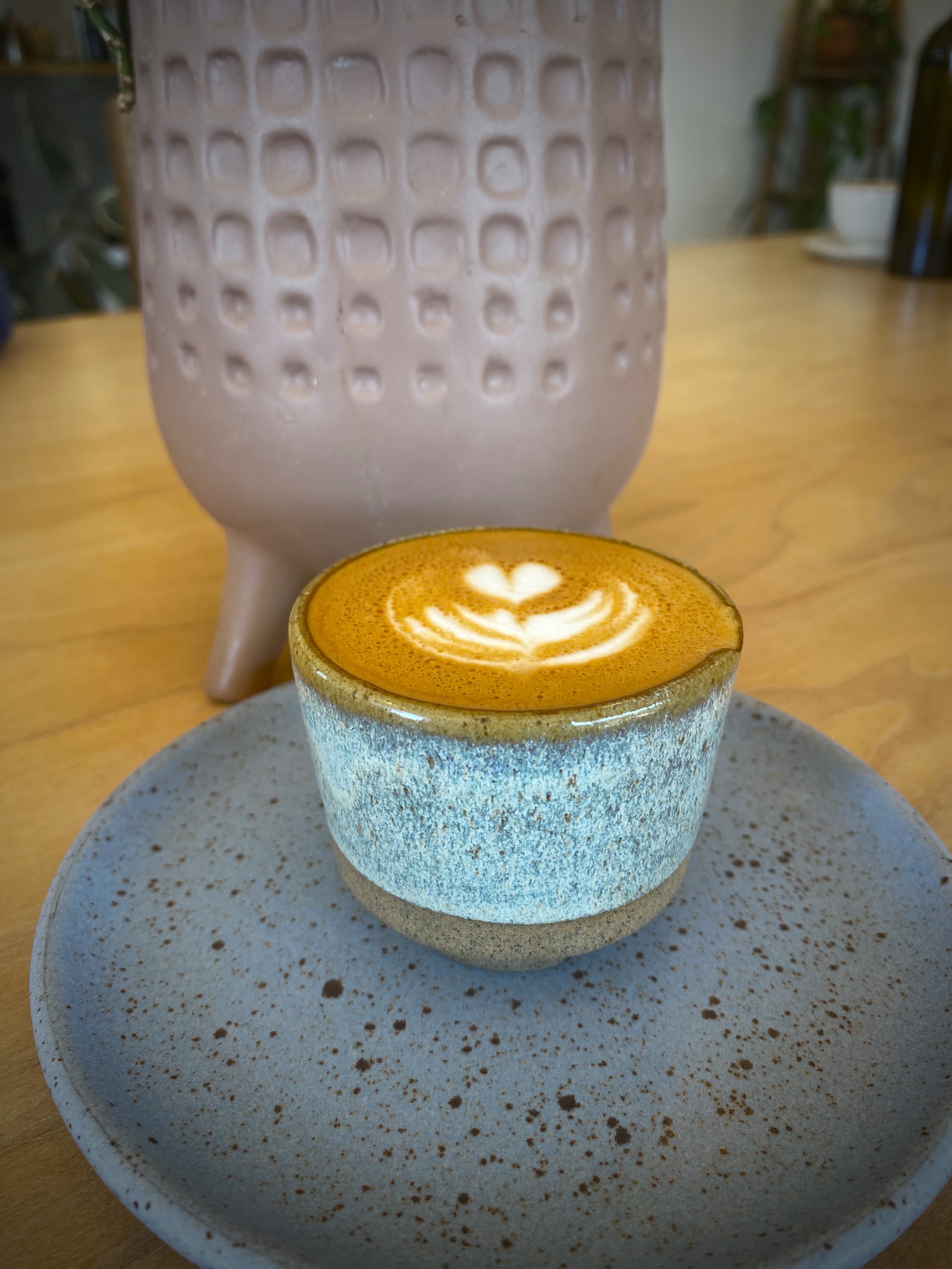
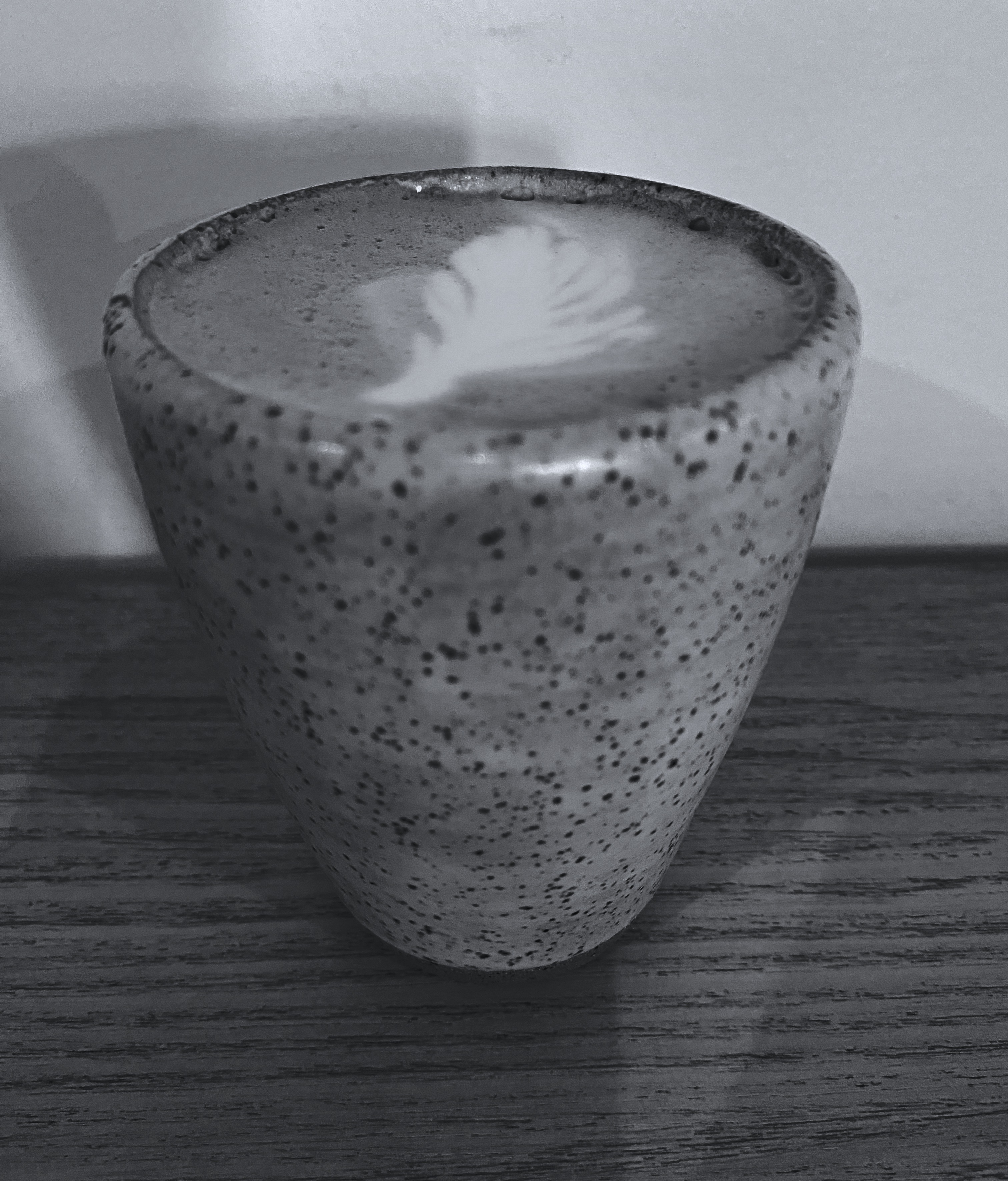
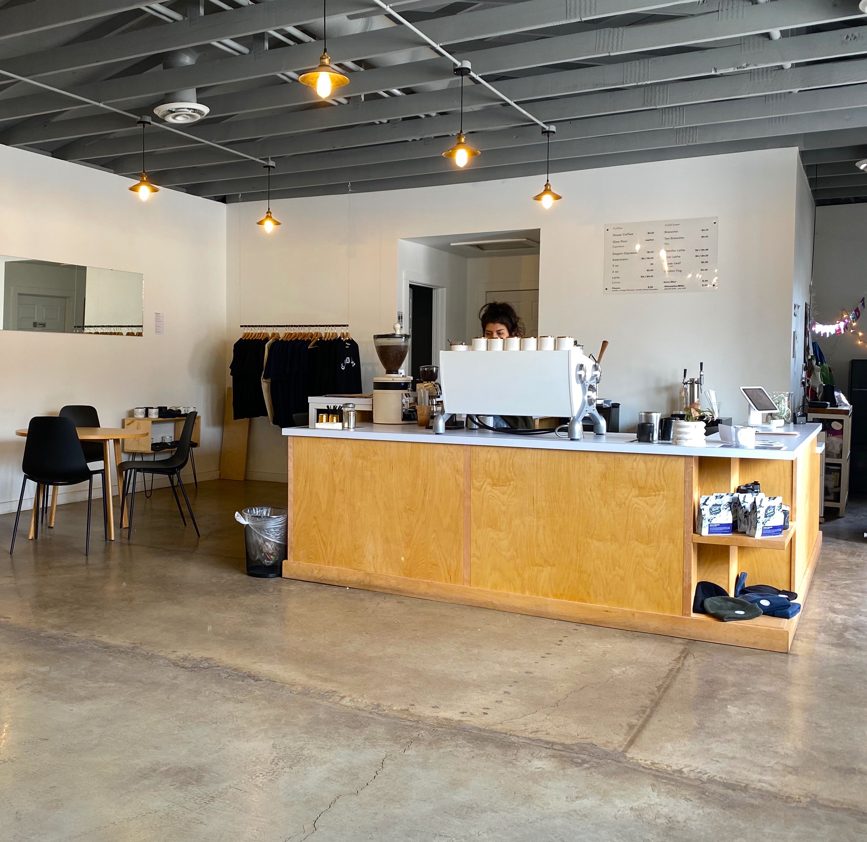
Of course, the first entry point for any worthwhile city visit is COFFEE! We were traveling from the east after our recent visit to Guadalupe Mountains National Park, therefore we were able to vector directly to an excellent specialty coffee shop and roaster on the east side of the city. We were most fortunate that the founder and owner of Global Coffee, Erika, sat with us for quite awhile. She shared with us her family history and the ties with Mexico that exist in a border town that has been a major immigration point for centuries(El Paso del Norte). Erika is a delightful and talented young woman and we wish her all the success she deserves with her business and family. https://globalcoffeeco.com/

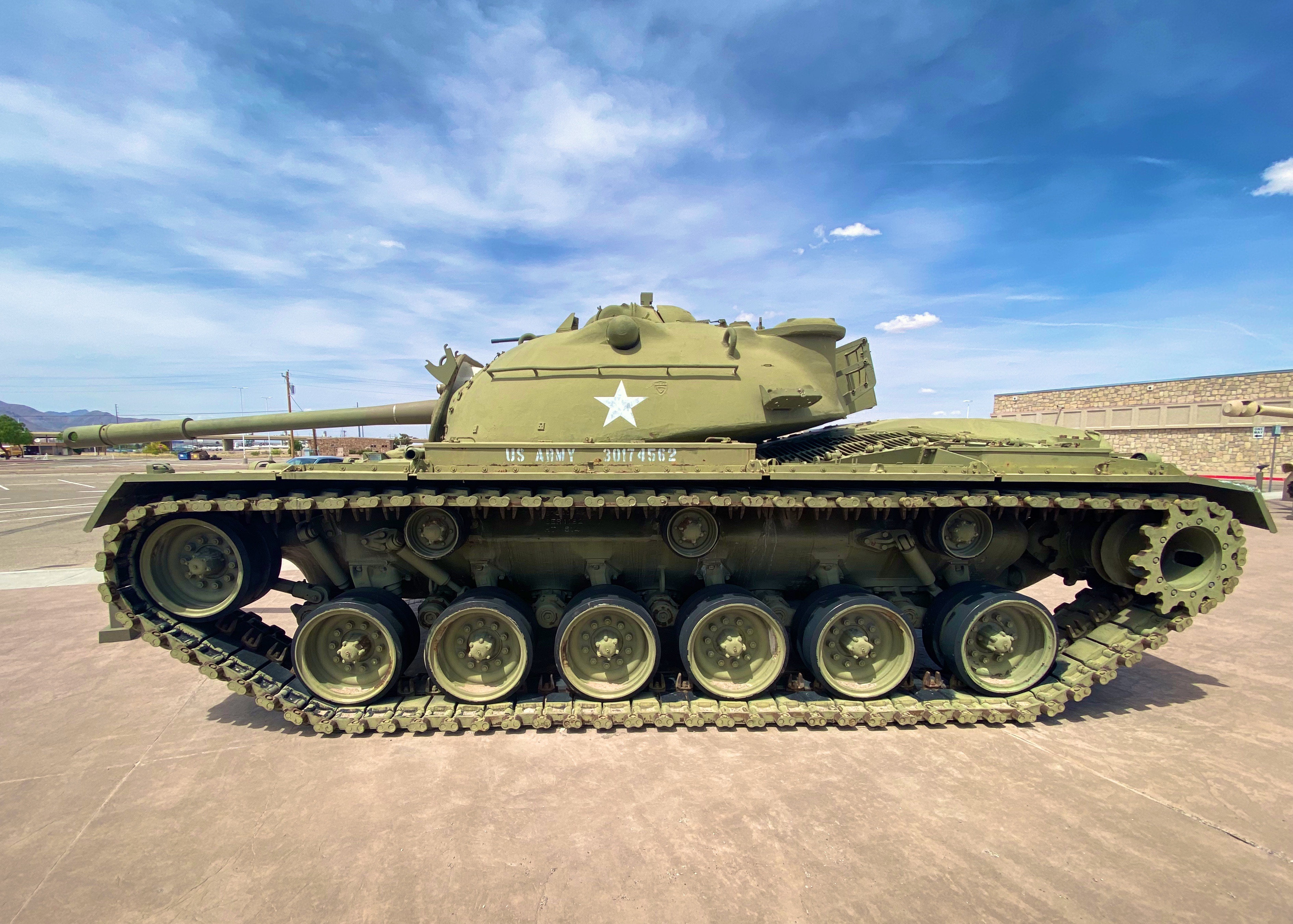
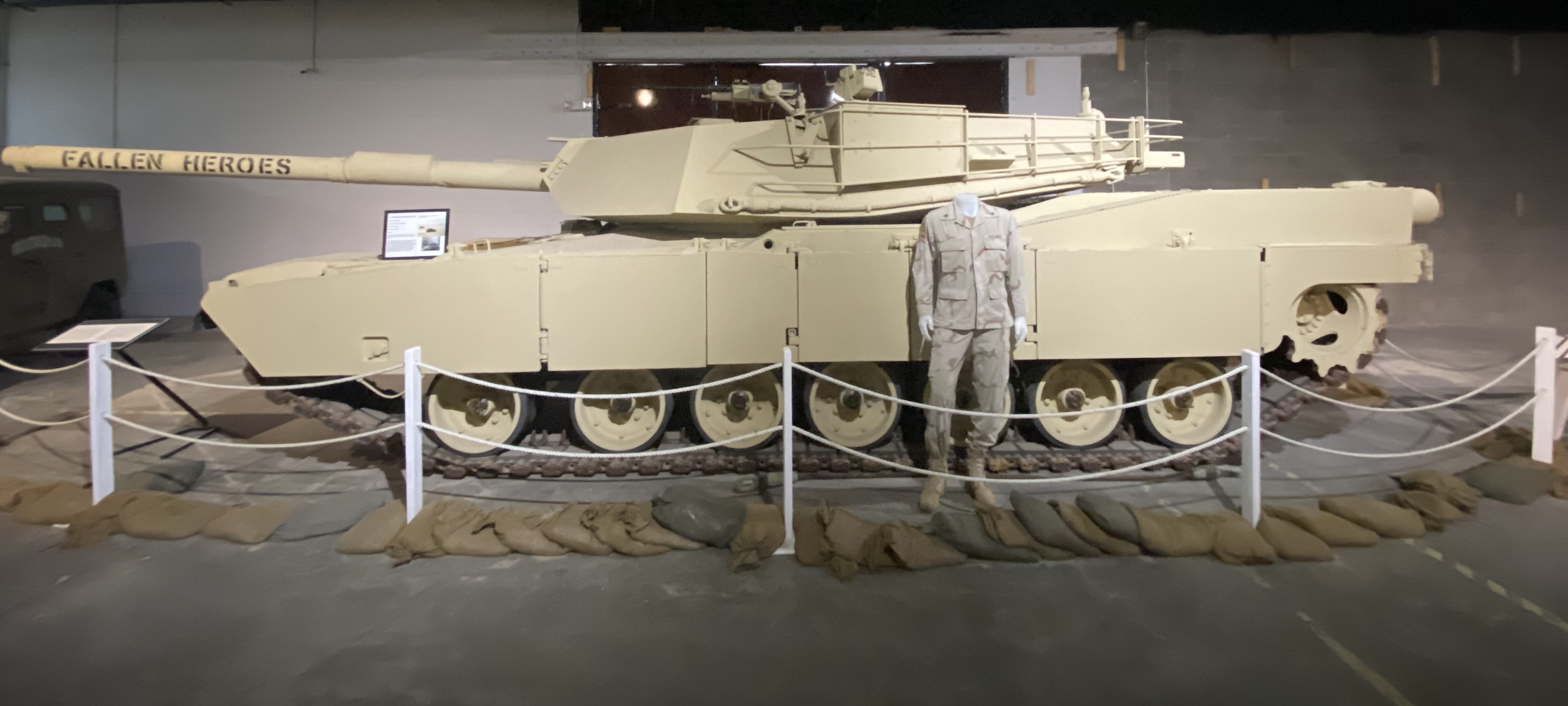
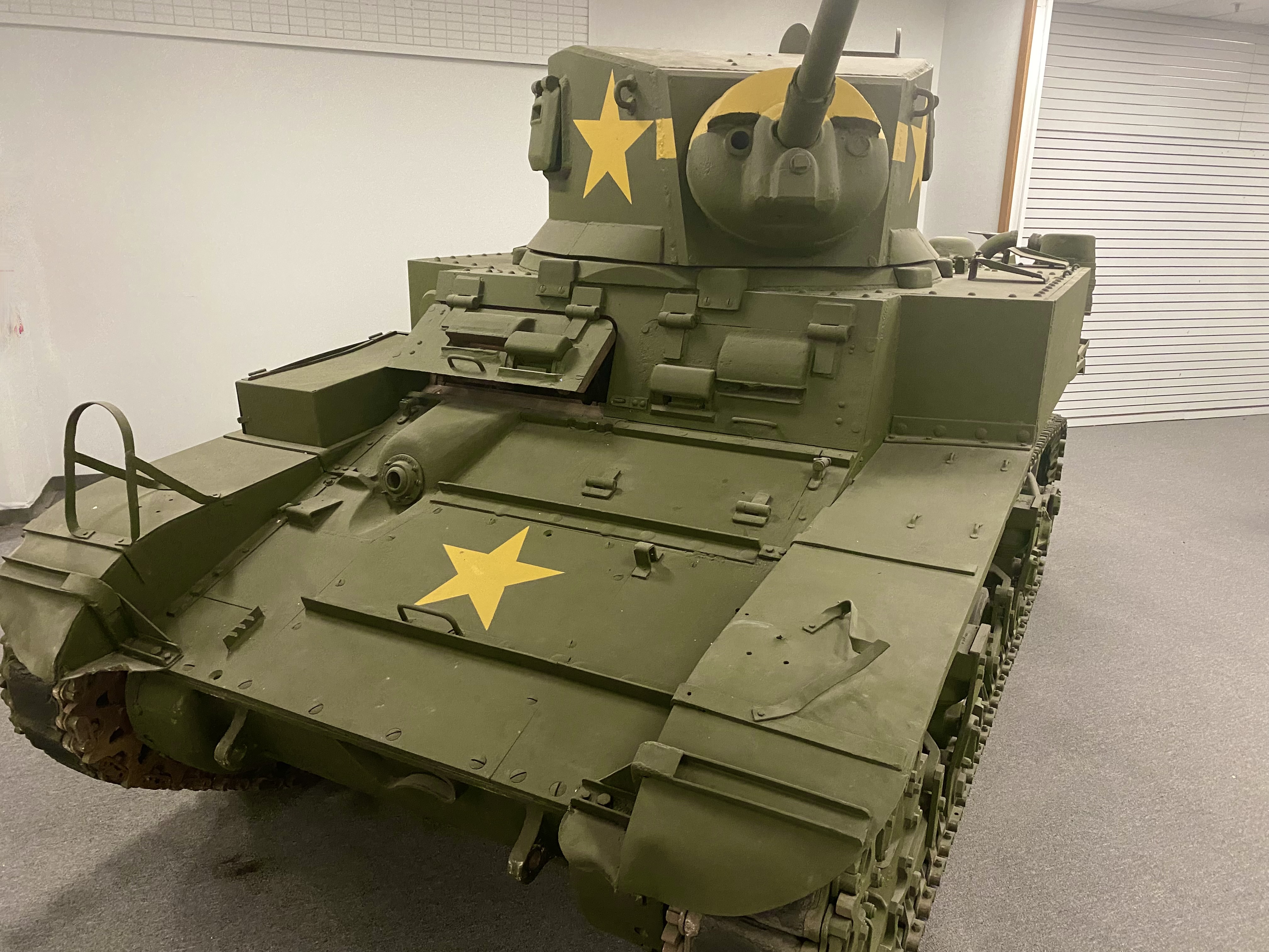
After refueling we went directly to the tank museum, officially known as the 1st Armored Division & Fort Bliss Museum. The United States Army has had a post in EP since 1849, which has served as an infantry post, a cavalry post, an air defense artillery post and currently operates as a maneuver training post. The size of the Fort Bliss training area (965,00 acres) and its mountainous desert terrain have made it a vital training location for the many forces that have been deployed to the Middle East over the last three decades.

Artist: Fremont Ellis, El Paso Smelter at Night, 1919
Artist: @DEKO_UNO, Kerby Avenue, El Paso, Texas
Artists: Jesus Alvarado and Victor Casas, El Segundo Barrio, El Paso, Texas

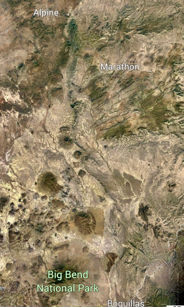
Far West Texas Cool

Iron Mountain Ranch (Photo Bill Murphree)
The “Long View” Across the Plains to the Glass Mountains
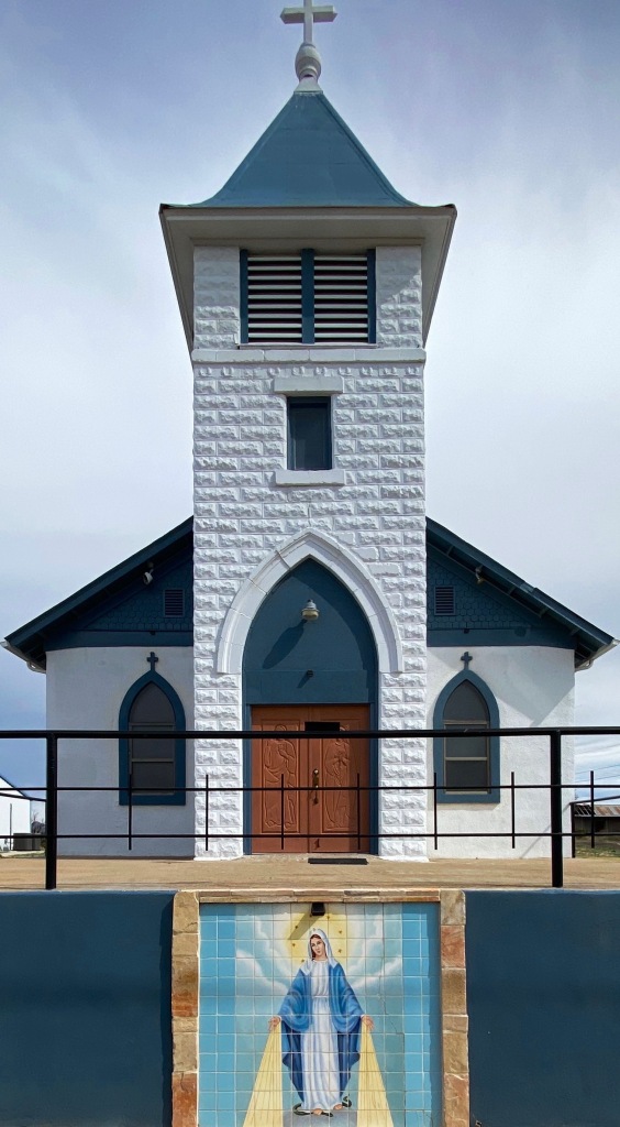
St. Mary’s Mission (Founded 1908)
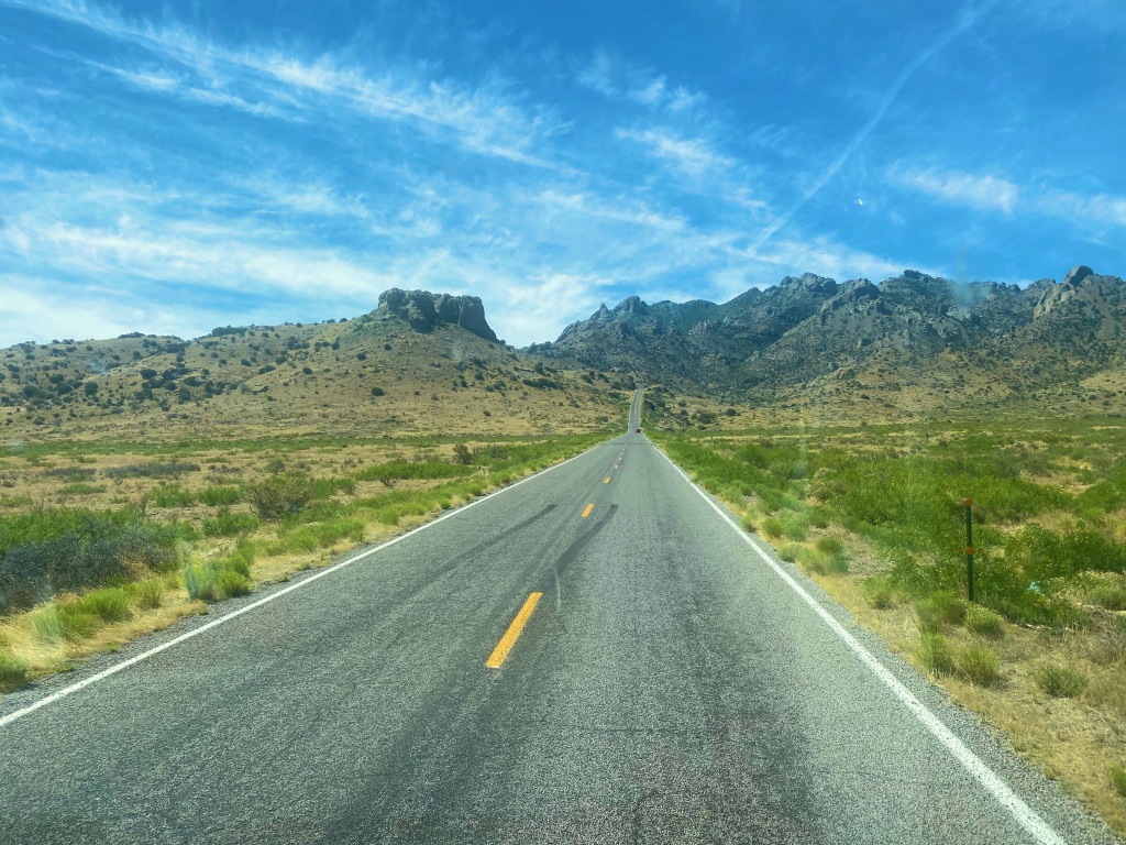
Texas State Highway 118

Texarkana to Marathon: Howdy Y’all

Seminole Canyon, Nine Miles West of Comstock, Texas
Ranch Road Adventure
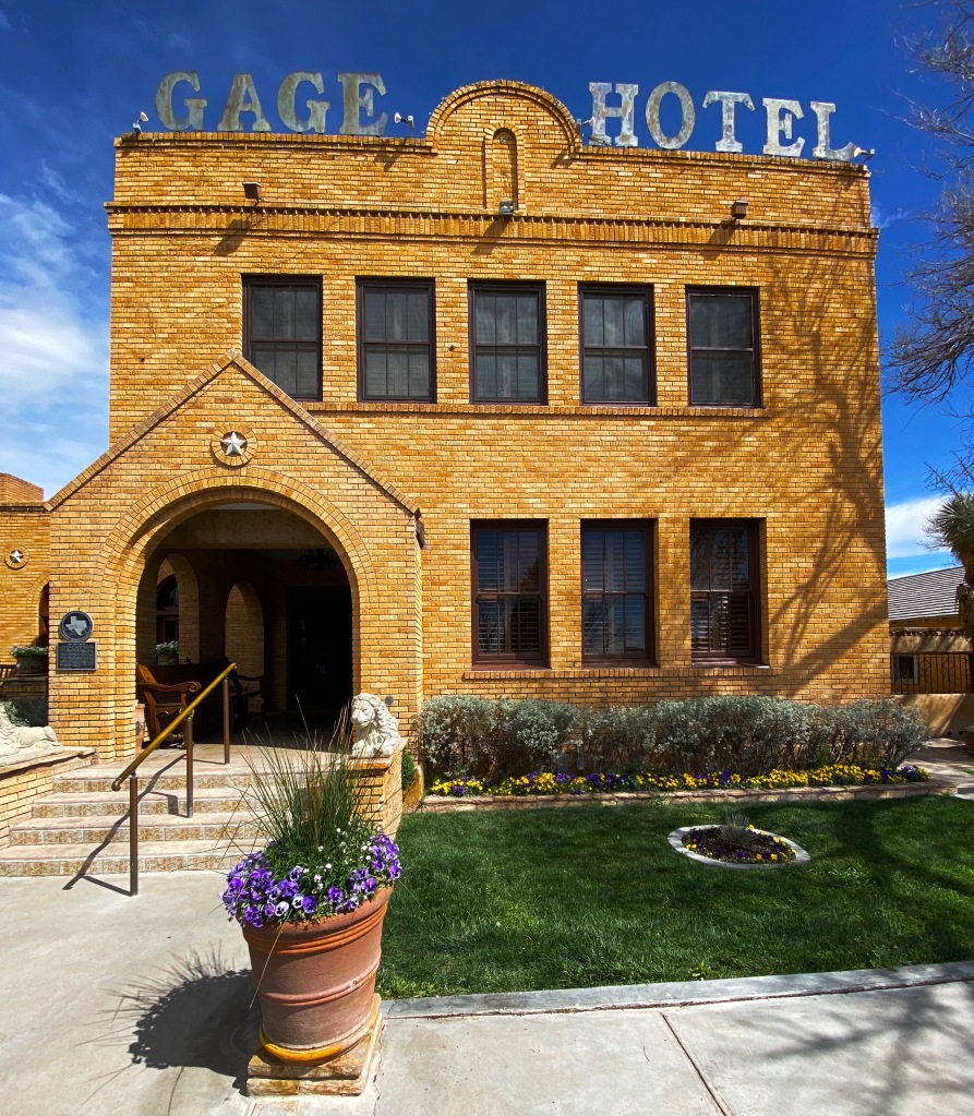
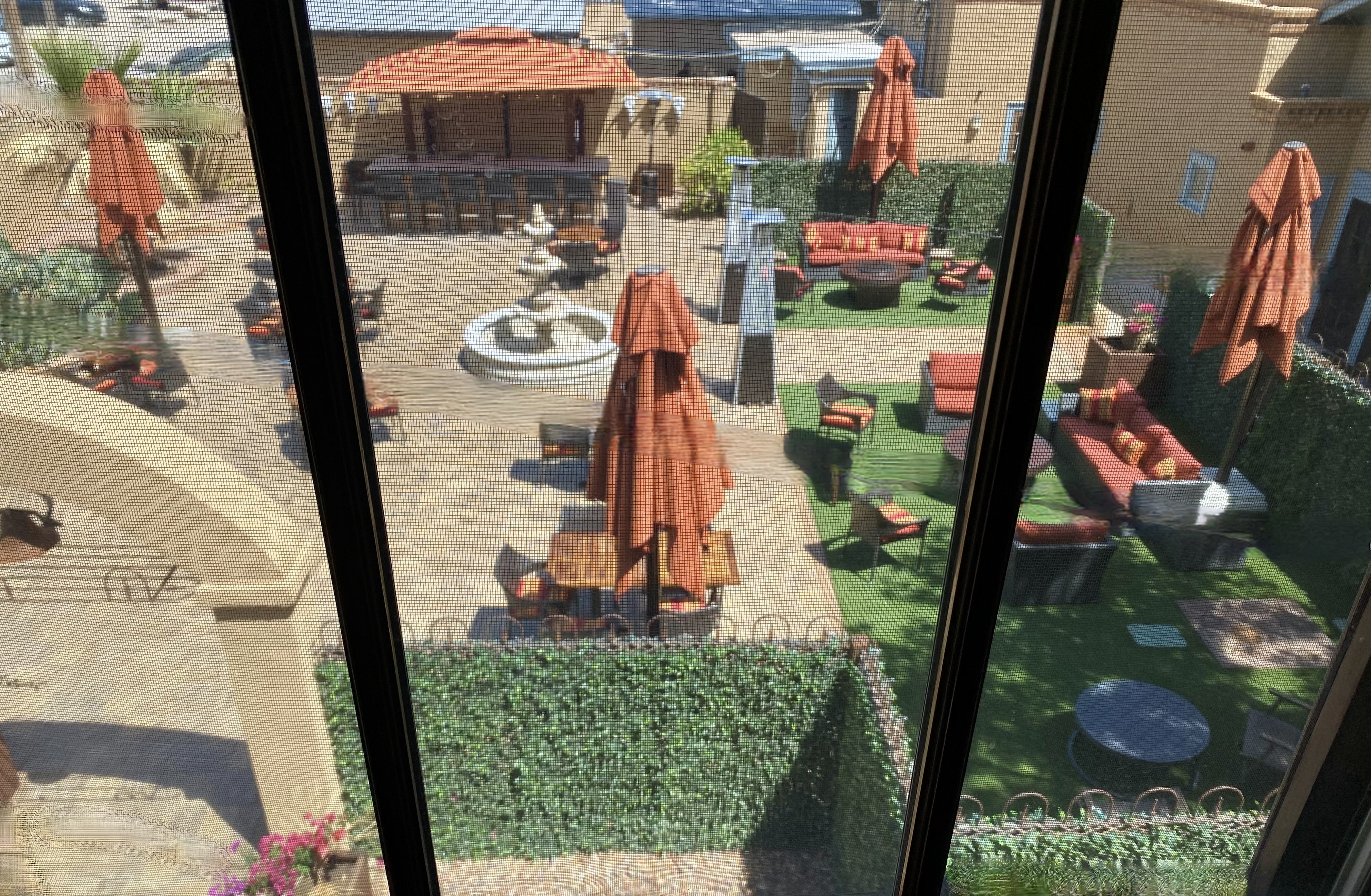
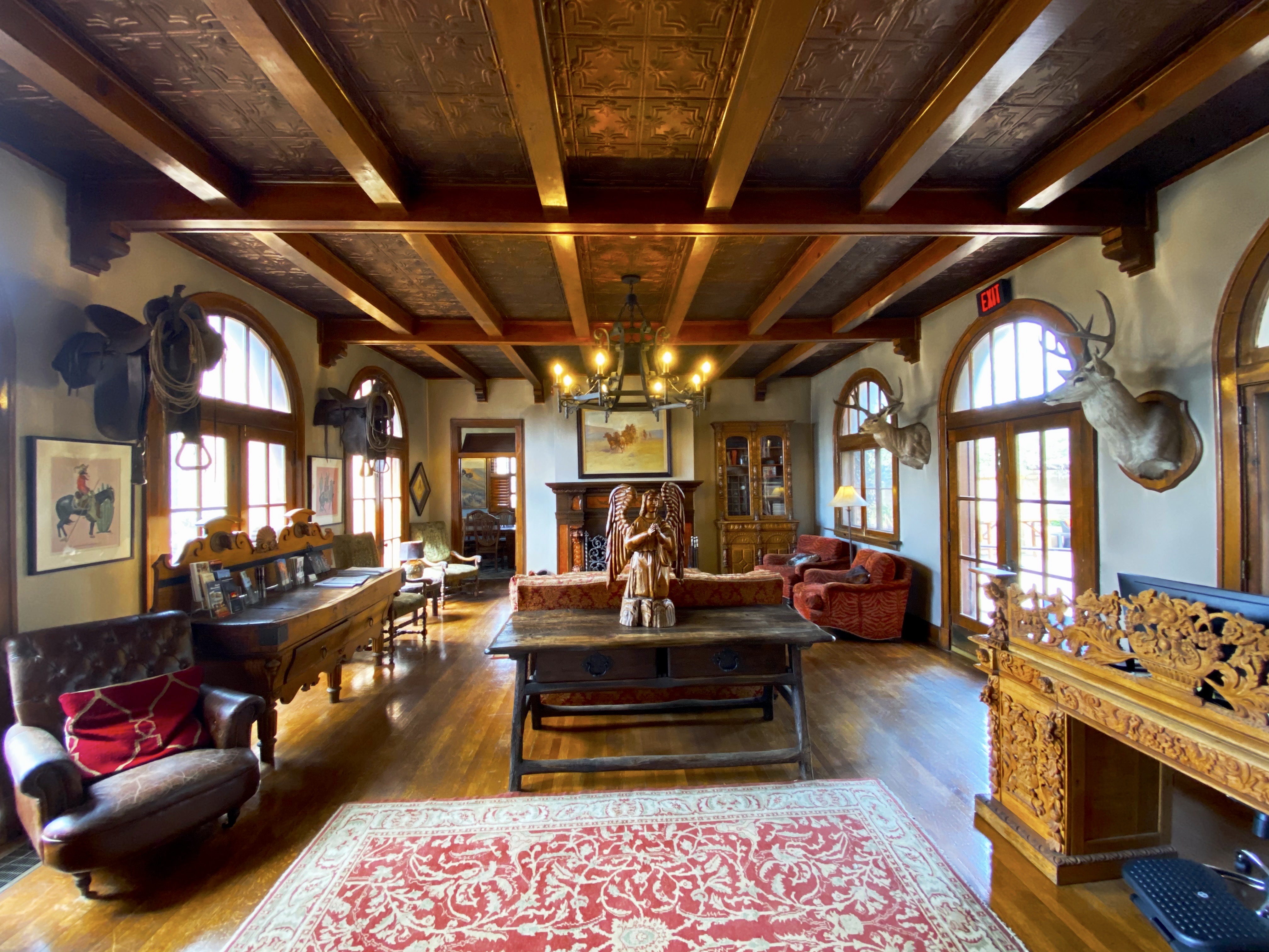
Gage Hotel, Marathon, Texas

Street Art Tourist.London.2023

Loty Graffiti Art @loty_loony, London-Brick Lane
Jill Viglion, London-Tower Hamlets
7th Pencil @7thpencil, London-Weavers
Apparan @apparan, London-Allens Gardens
Benzi Brofman @benzi_brofman, London-Weavers
Jill Vigilion, London-Brick Lane
Benzi Brofman @benzi_brofman, London-Brick Lane
Artist Unknown, London-Tower Hamlets
Artist Unknown, London-Weavers
Apparan @apparan, London-Tower Hamlets
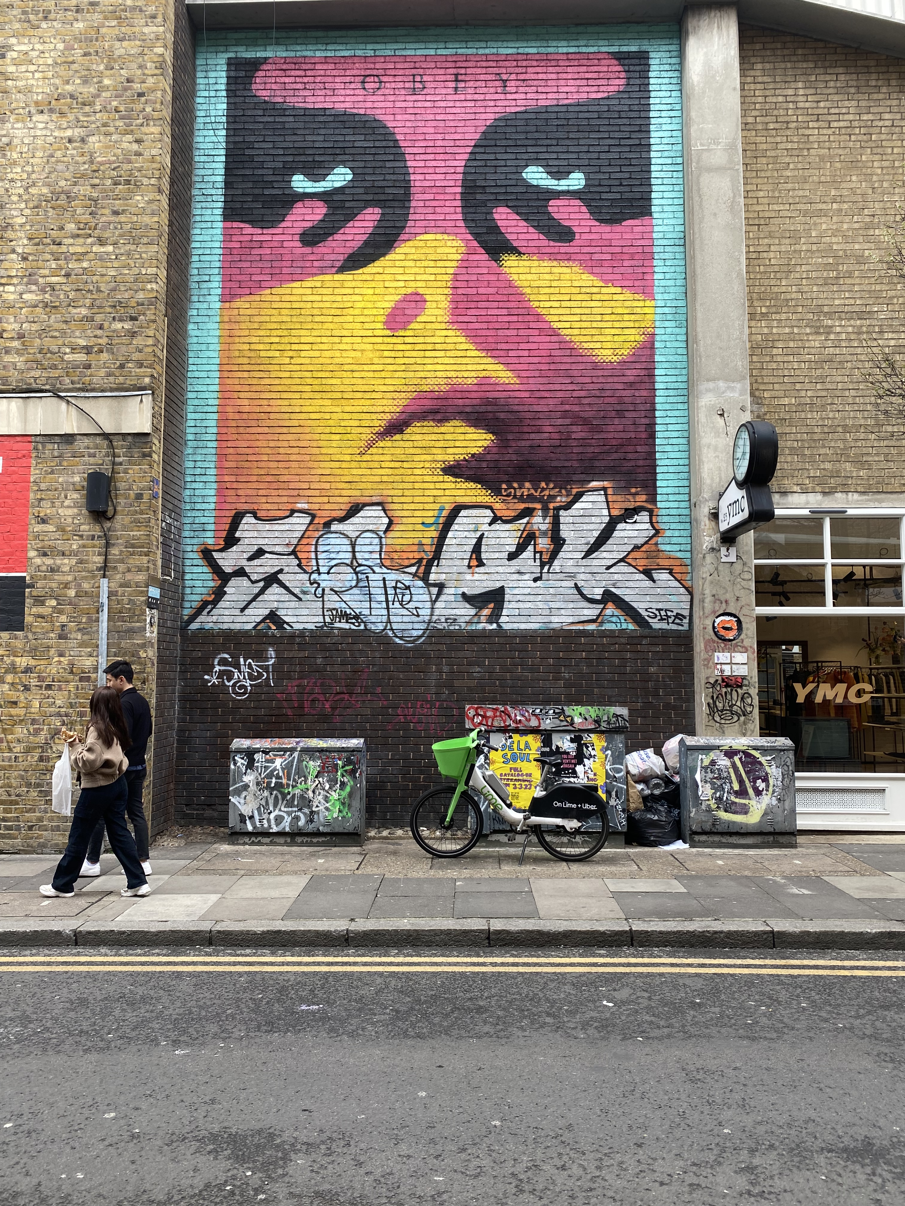
Sheppard Fairy @obeygiant, London-Tower Hamlets
Artist Unknown, London-Weavers

Colorado: Abridged Edition

Durango – Four Corners – Route 550, Colorado
South Fork – Eastern Rockies – Route 160, Colorado

After refueling with burgers and diesel we continued our drive to the town of Del Norte. Prior to Euro-American settlement, this area was occupied by the Utes who migrated to the area from the south during the warmer months of the year. When this territory came under Mexican rule during the early 19th century, Hispanic settlers migrated north to take advantage of land grants offered by the Mexican government. Subsequently, this area was ceded to the United States by Mexico.

Del Norte, Photos, Courtesy Denver Public Library

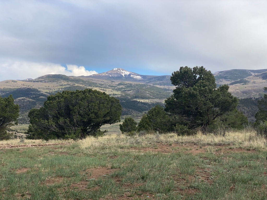
After a quick tour of the small downtown we headed west a short distance to find a camping spot in the Rio Grande National Forest. We found a great spot in a meadow which afforded us a panoramic view of Del Norte Peak.

Rio Grande National Forest
Del Norte Peak, Elevation 12,400′
Great Sand Dunes National ParkSangre De Cristo Mountains

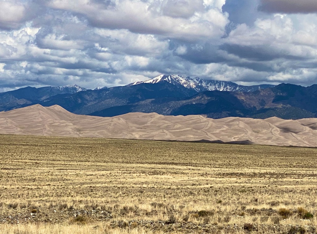
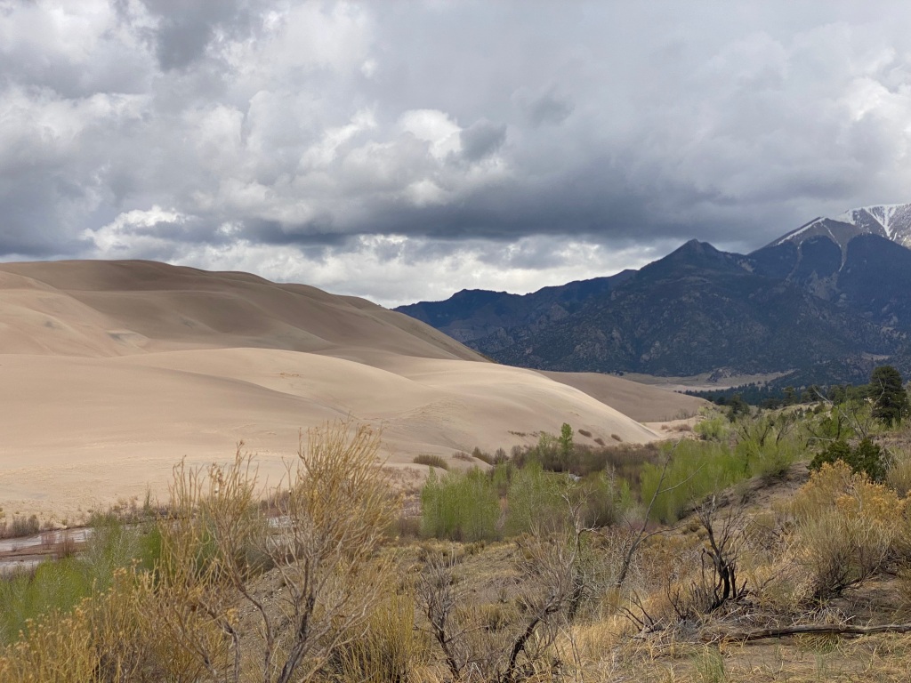
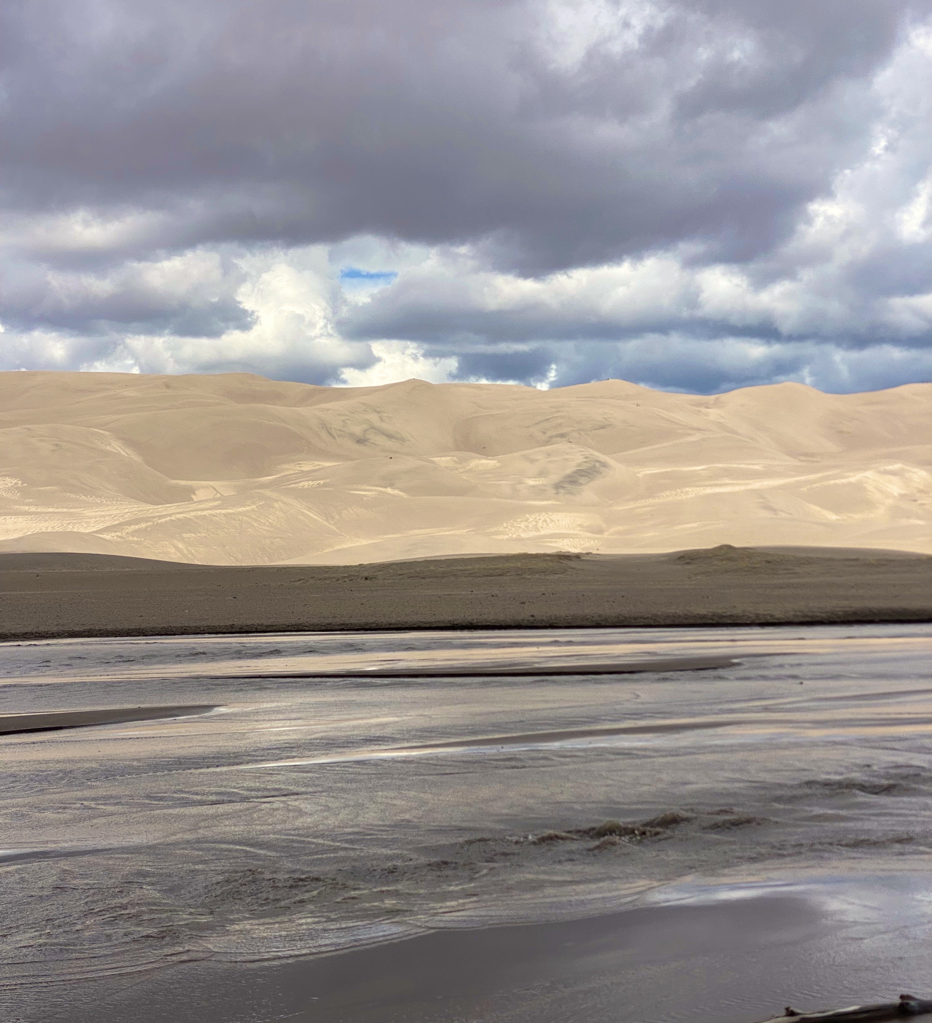
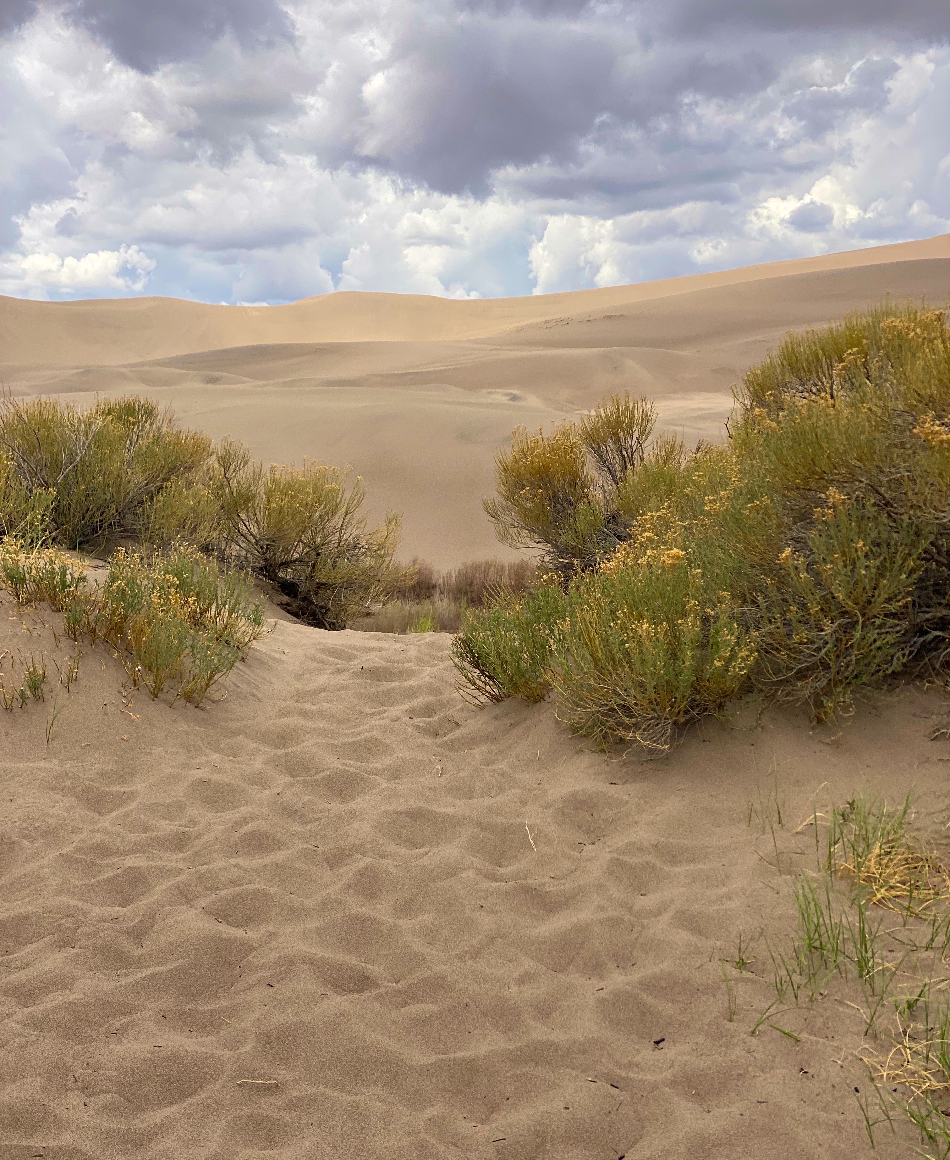
GSDNP presents a fascinating landscape with grasslands separated from a thirty square mile sand desert by Medano Creek. The dunes are tucked in against the base of the Sangre de Cristo Mountains–quite spectacular! The sand dunes at GSDNP are the tallest in North America. Some are as high as 700 feet (Star Dunes is the tallest at 750 feet).

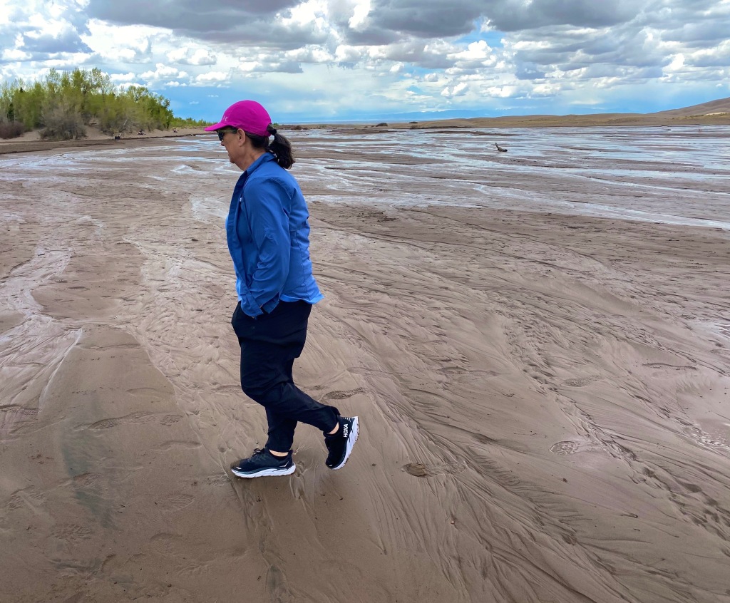
Medano Creek
Medano Pass Primitive Road
Walsenberg, Colorado
The Broadmoor

Colorado Springs sits at just over 6000′ above sea level at the eastern base of the Rocky Mountains. Snow covered Pikes Peak (14,100′) looms over the city to the west creating a stunning backdrop. We did not travel up to the peak on this trip as we had taken the nine mile cog railroad trip on a previous visit (we definitely recommend riding the railroad to the top if the weather is clear -which it usually is in this part of Colorado). The train ride is fun and the views are phenomenal.

Pikes Peak
Building Three Coffee

With the cloudy, drizzly weather persisting into our second day in Colorado Springs (coincidently nicknamed “Little London” although not for the weather – there was a large British population in the 1870s) we decided to visit the Fine Arts Center (FAC) at Colorado College. The FAC is located in the Old North End neighborhood – an area of stately late 19th and early 20th century homes and tree lined boulevards.

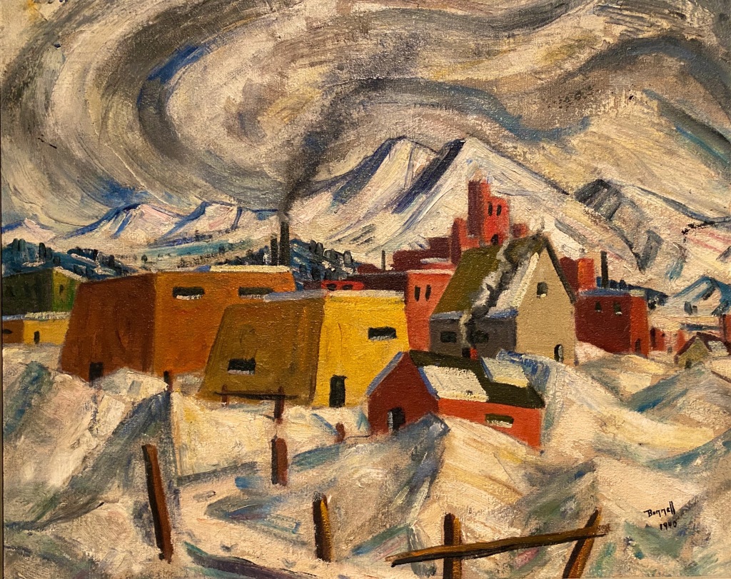
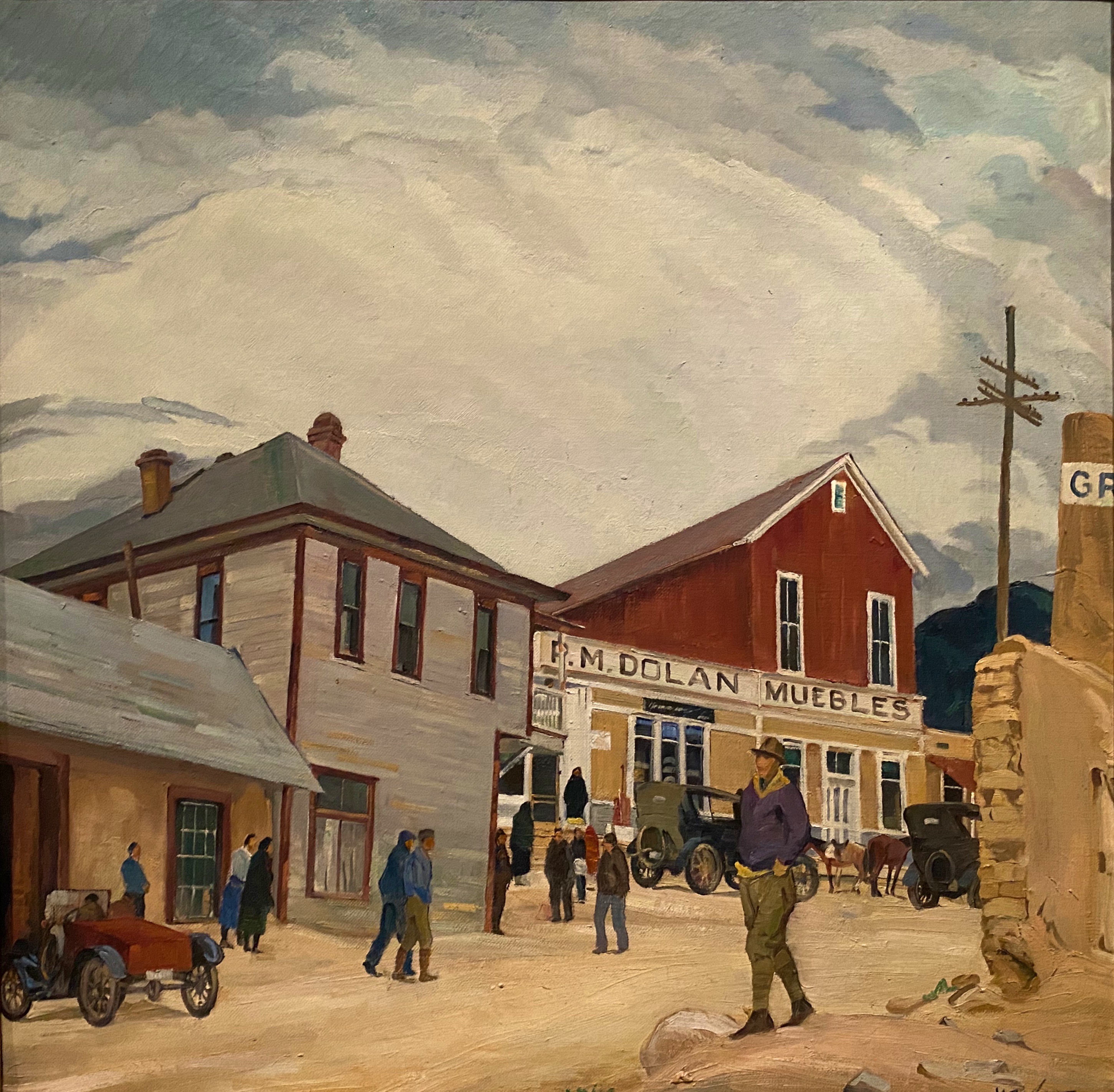
Charles R. Bunnell (1897-1968) March Snow, 1940, Oil on canvas
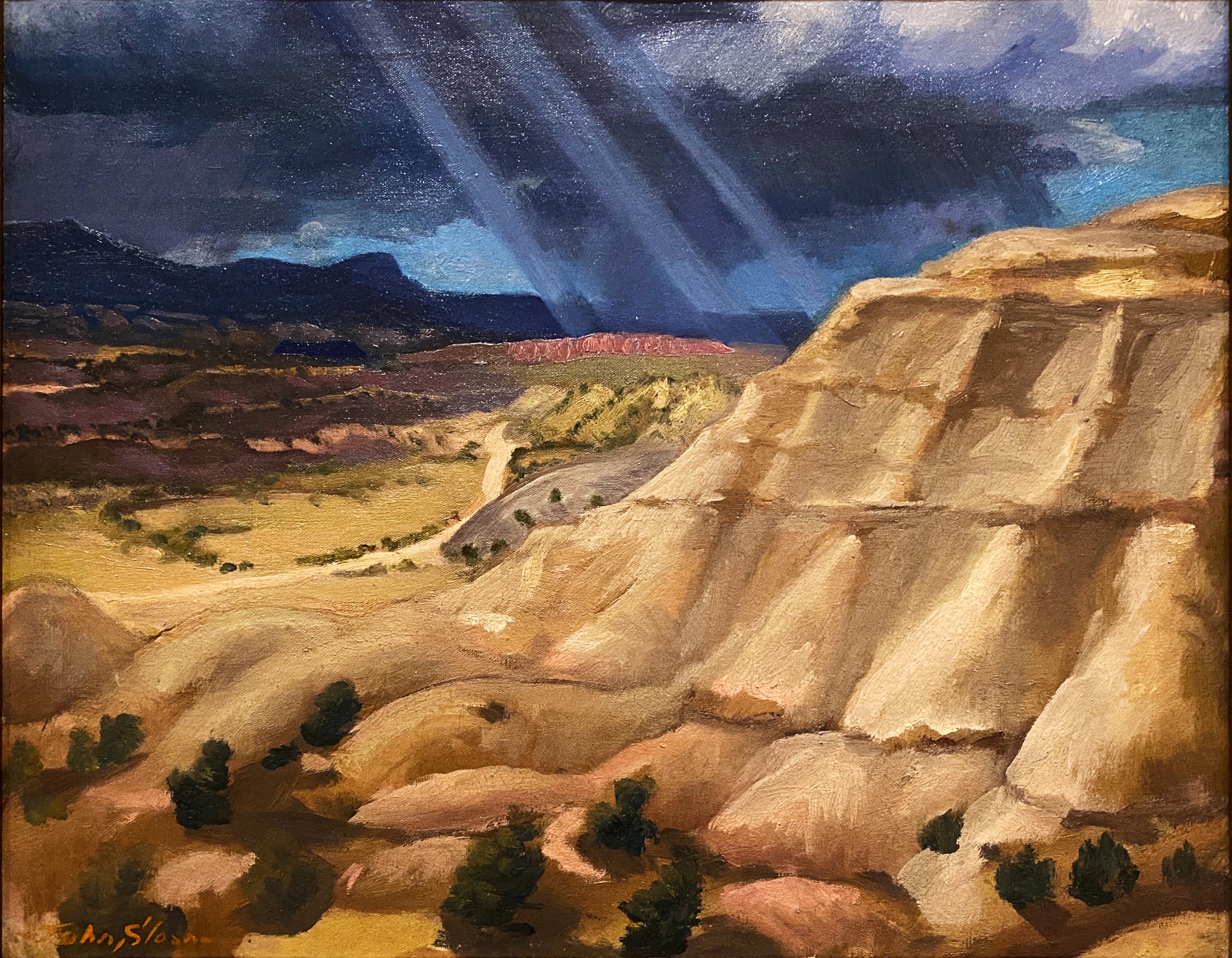
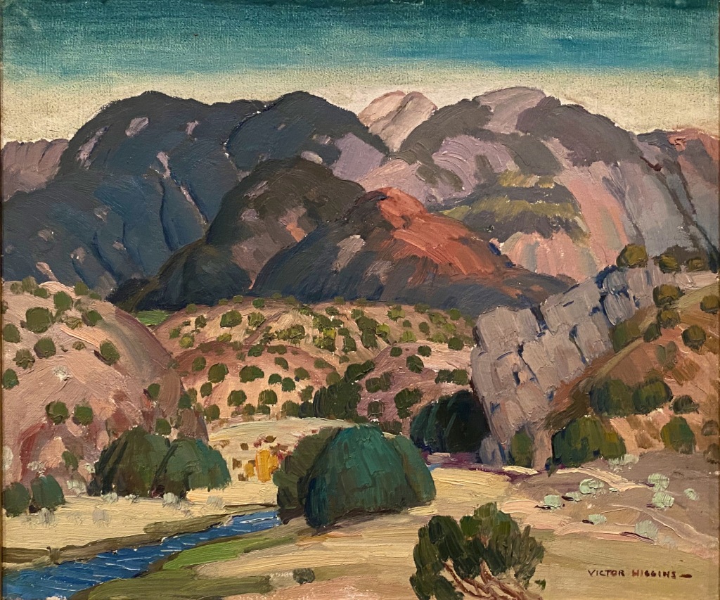
Victor Higgins (1884-1949) Santa Fe Hills, Date Unknown, Oil on canvas

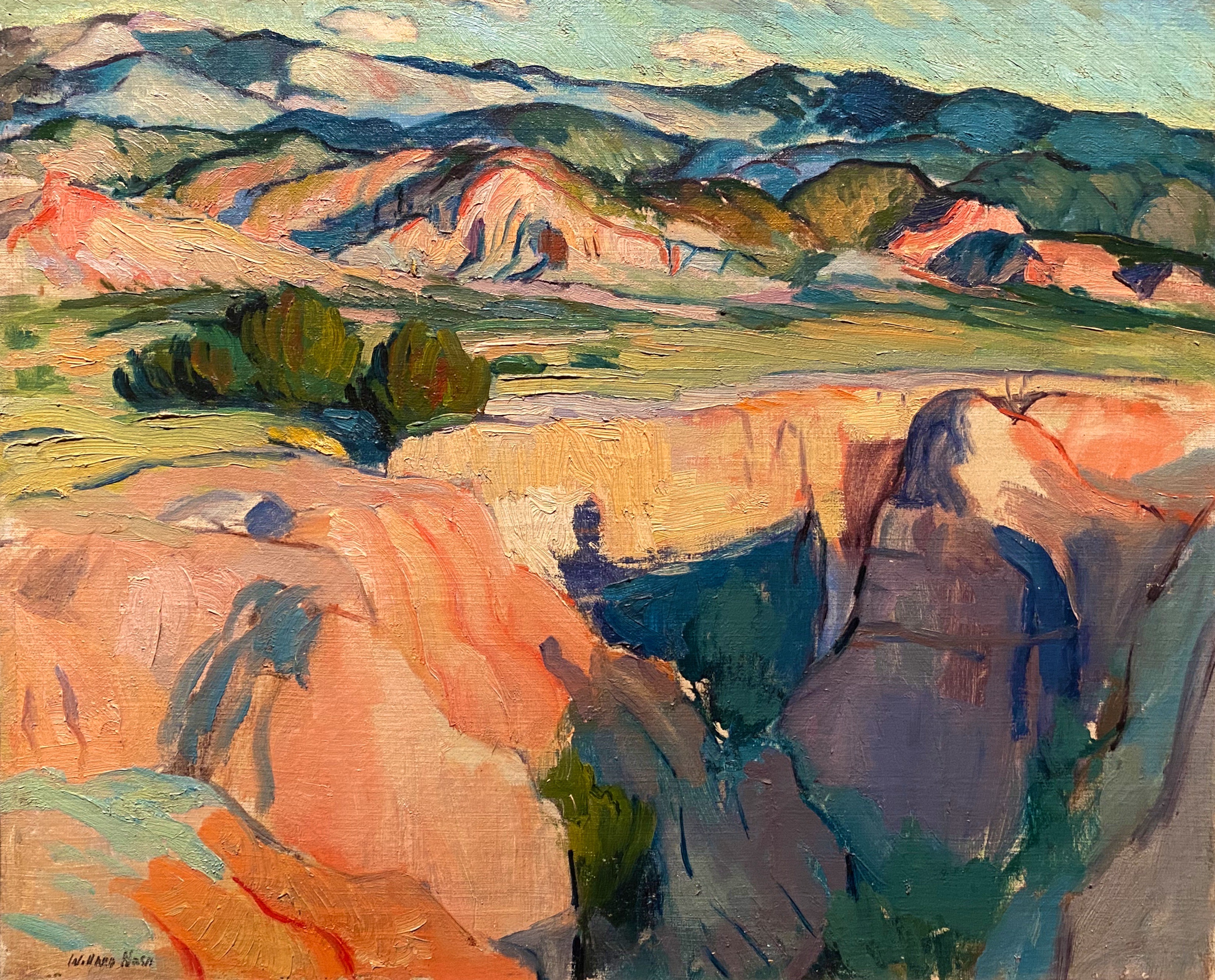
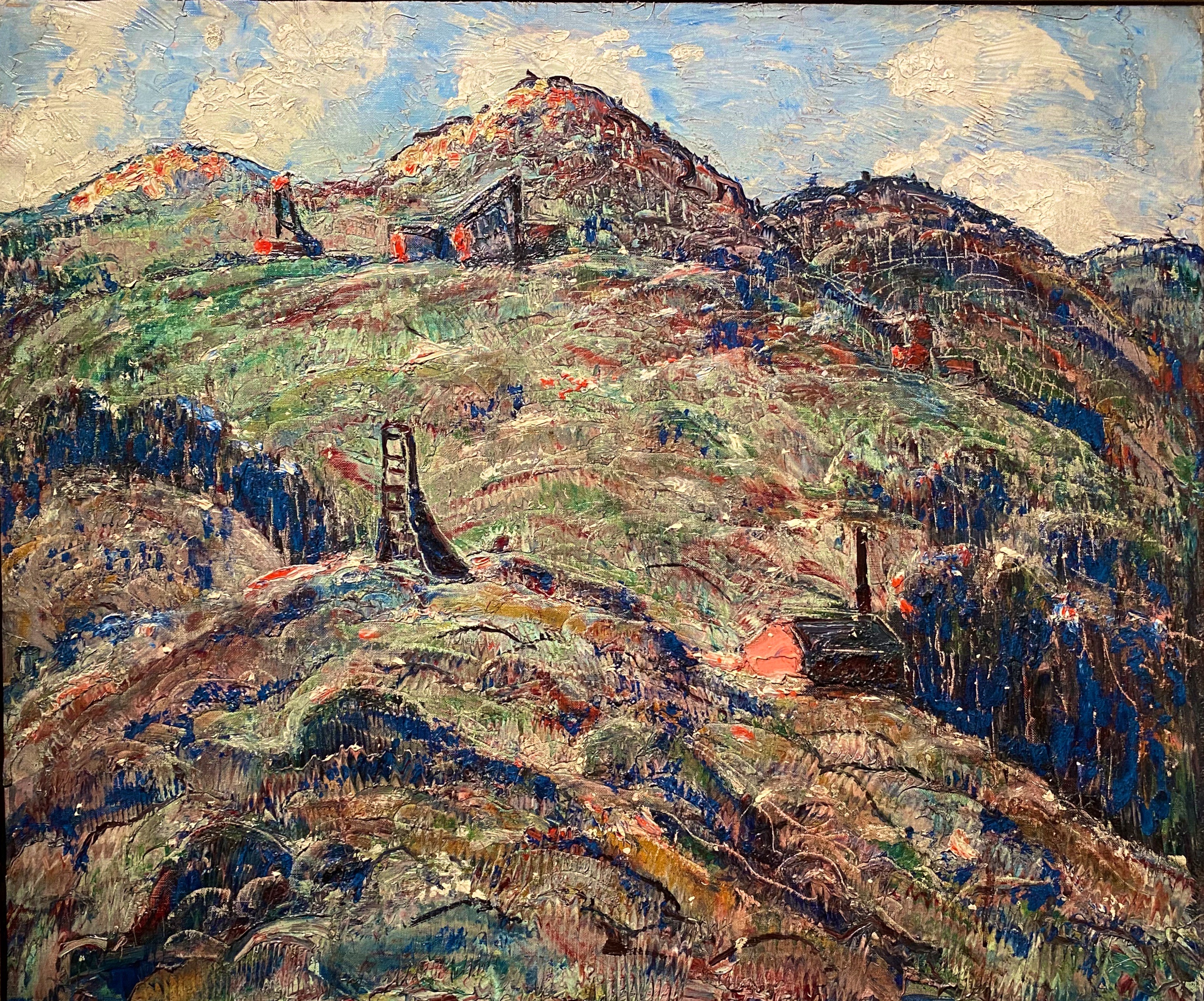
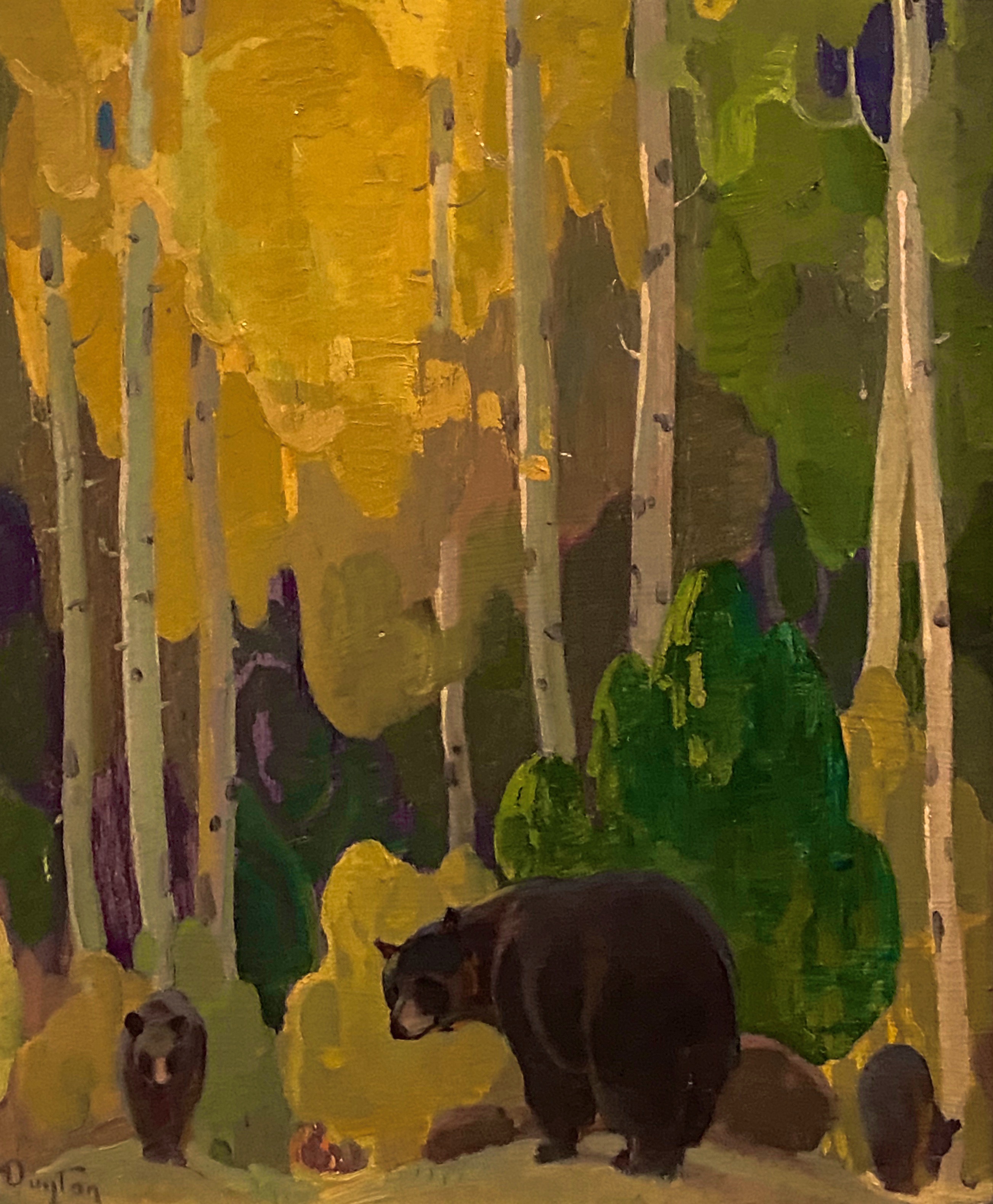
As with many museums of this size, the collection is regionally (although not exclusively) focused. We have included photos of several paintings which reflect the southwestern focus (and which we really liked). The museum is definitely worth a couple of hour visit when you visit “Little London”.

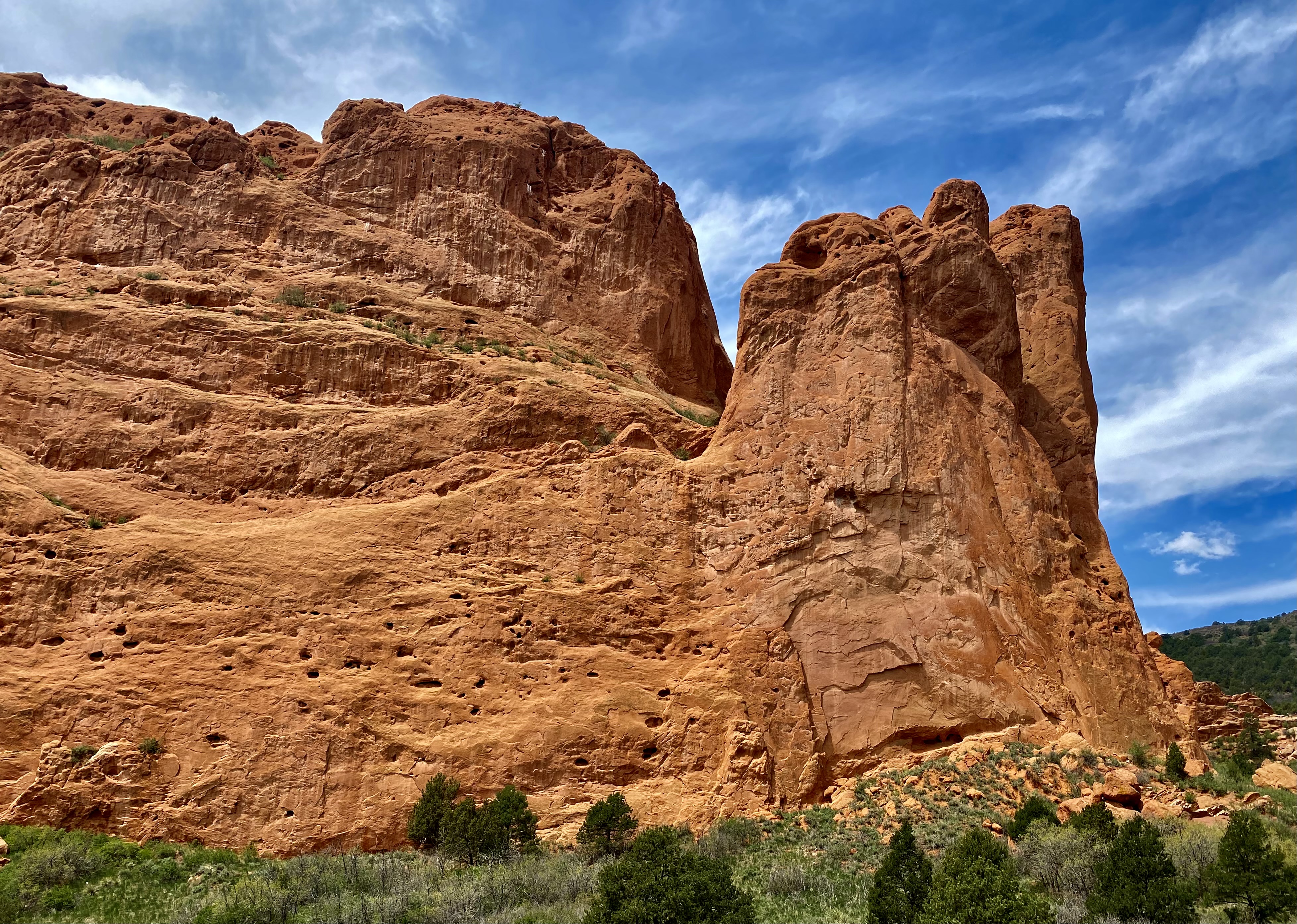
On our final day in Colorado Springs we ventured out to Red Rock Canyon. We had held off visiting earlier in our stay due to some cloudy weather. Unfortunately, it appeared that everyone else in Colorado Springs had done the same (it was also the weekend) and this popular open space was quite crowded.

Interestingly, Red Rock Canyon is a city park consisting of 1474 acres of land. The park was pieced together with the multiple purchases of parcels over a period of years during the 1920s and 1930s by private citizens. It was acquired by the city in 2003. What makes the park’s history all the more remarkable is that many of the parcels were formerly quarries, gravel pits and industrial sites which have been reclaimed. There is little evidence of the past use of the space – without reading about the history you would most likely not think that to be the case.

From Colorado Springs we traveled north – camping near Sterling, Colorado for our last night in the state. In future posts we will chronicle our trek across the midwestern plains en route to Connecticut.

Be seeing you!

@streetartfromtheroad.OTR 9.0. Part Two

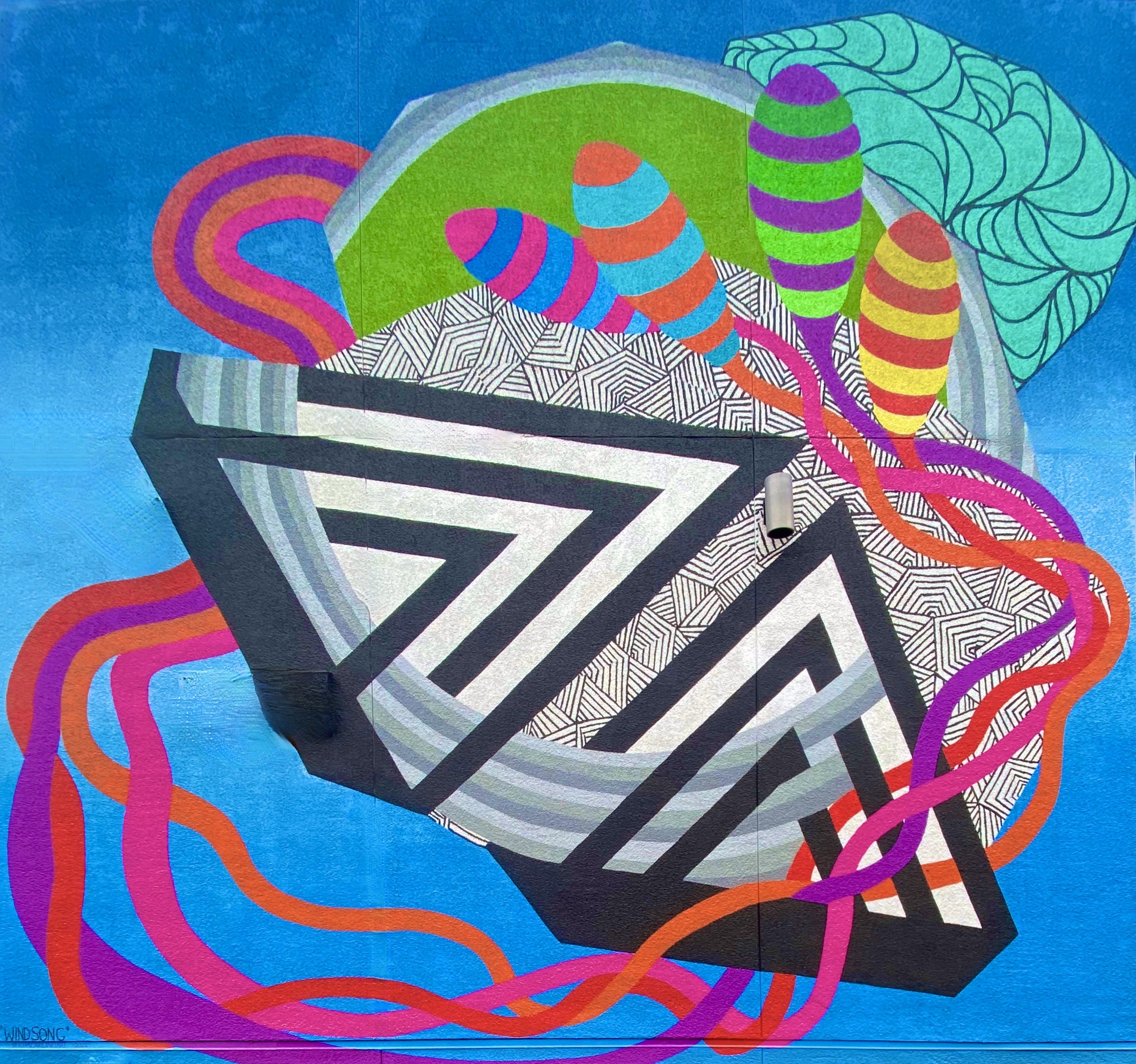
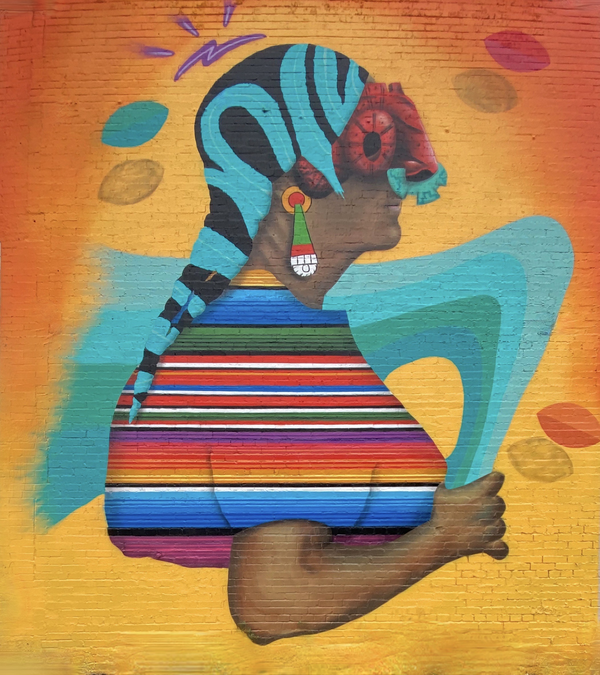
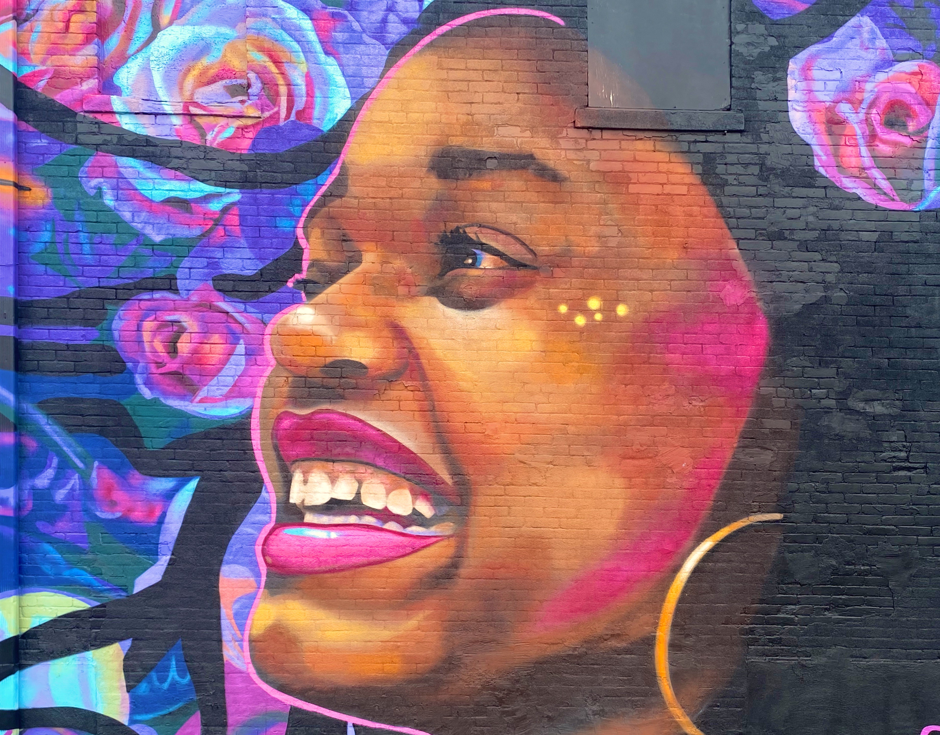
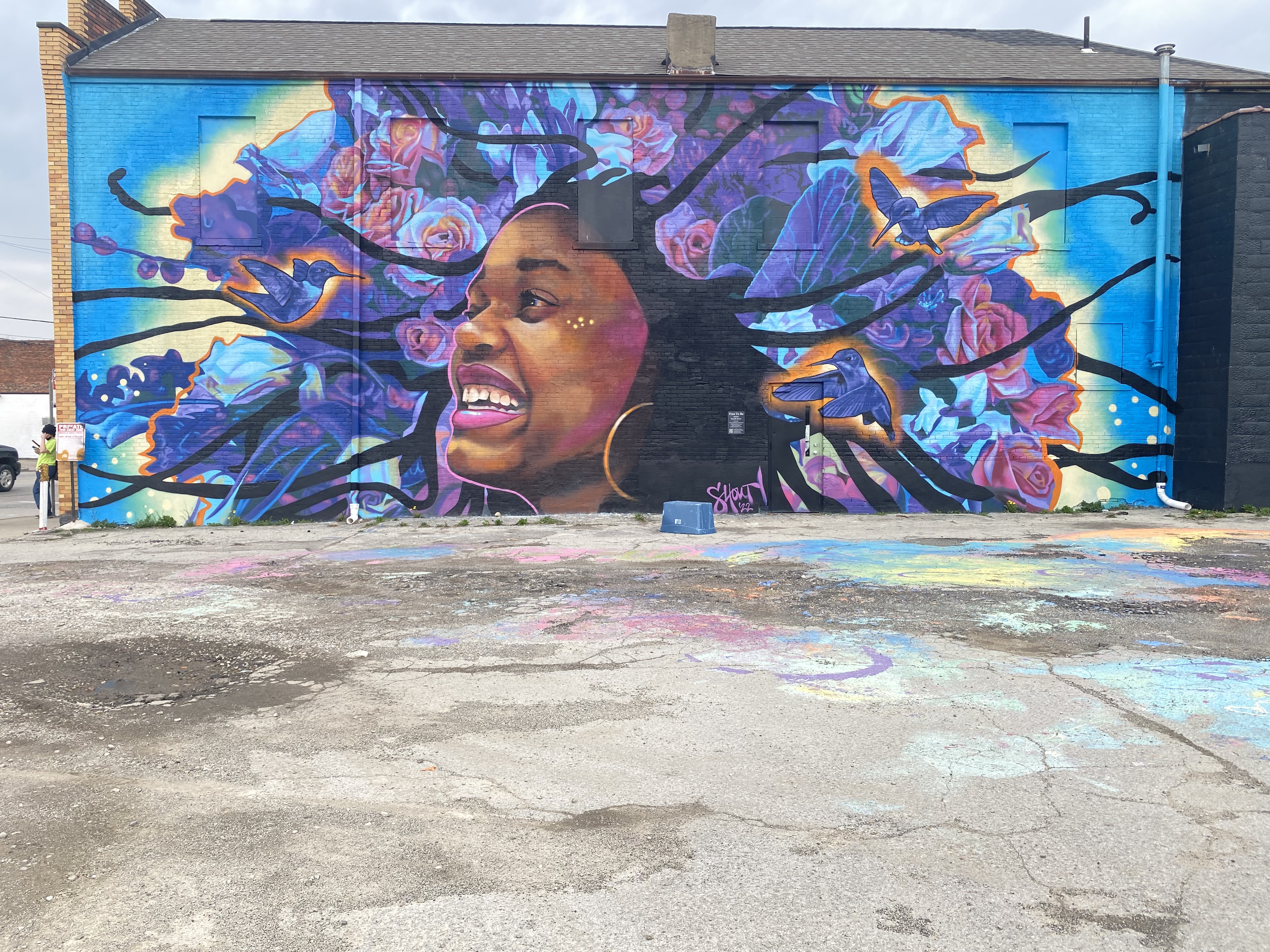
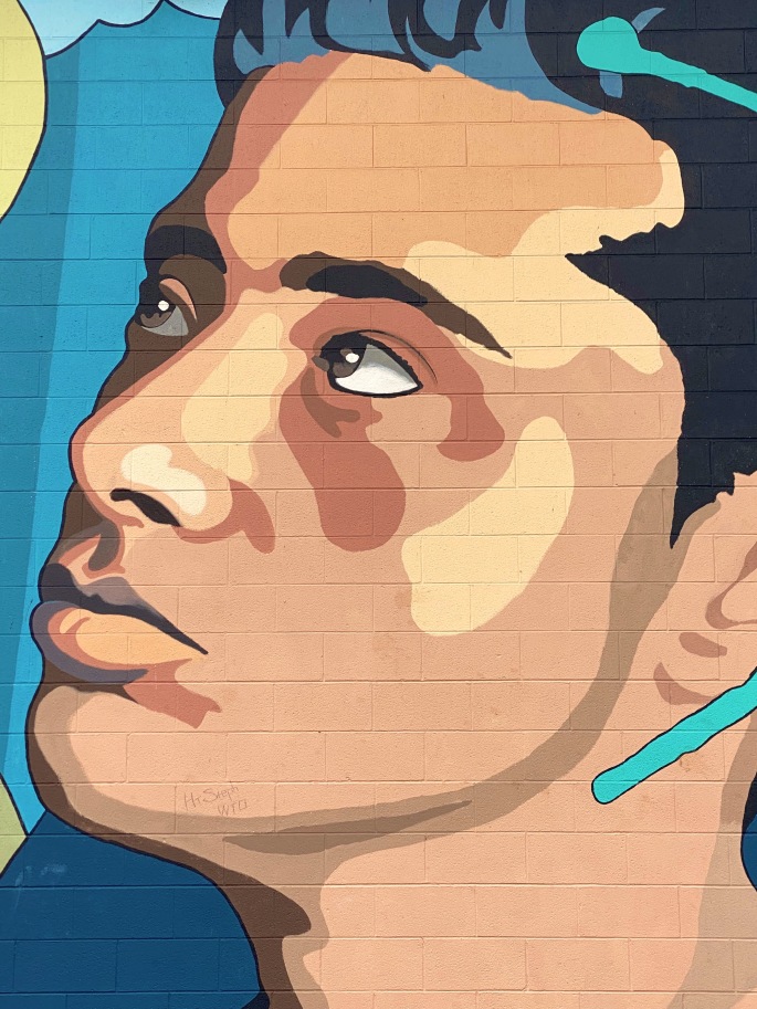
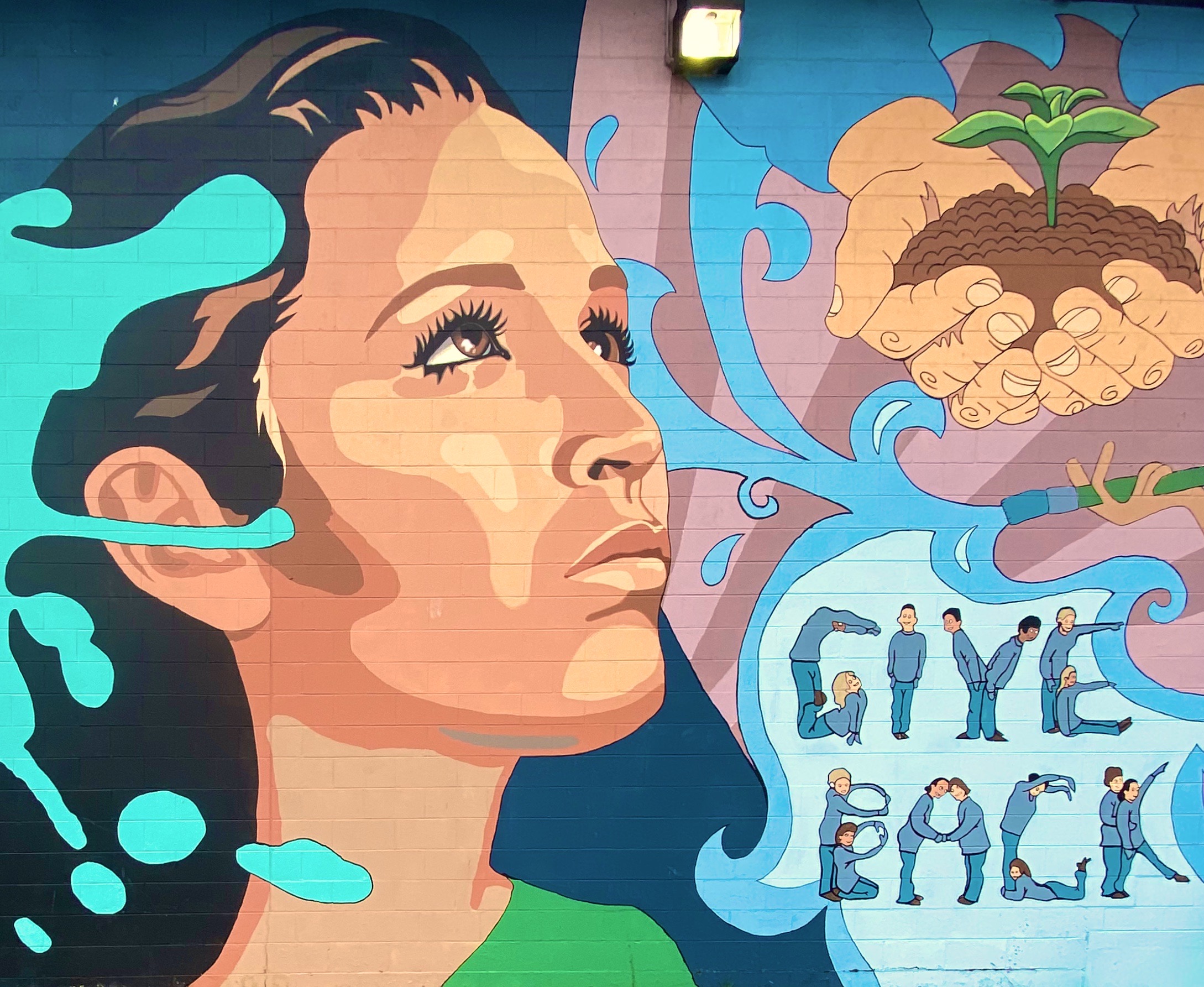
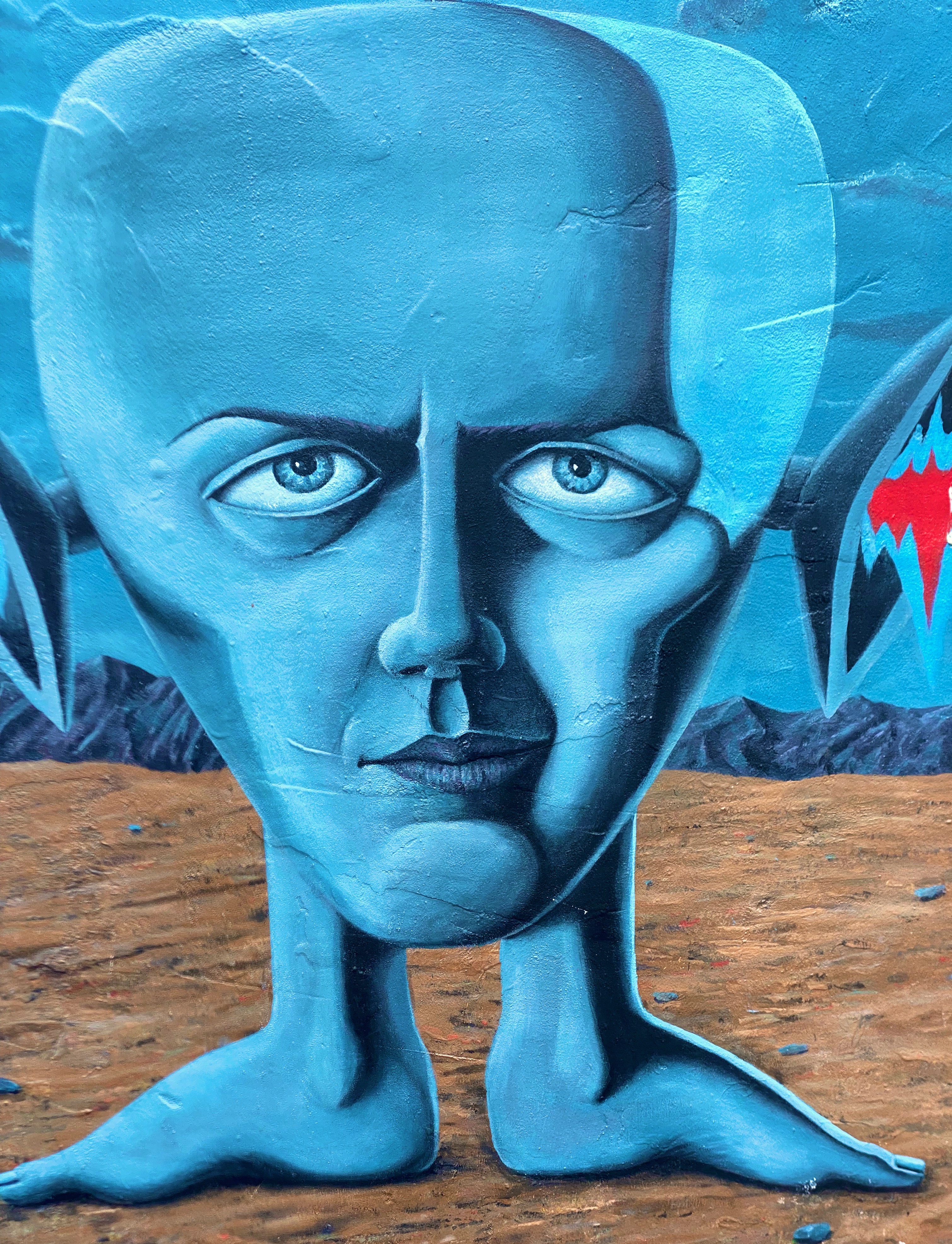
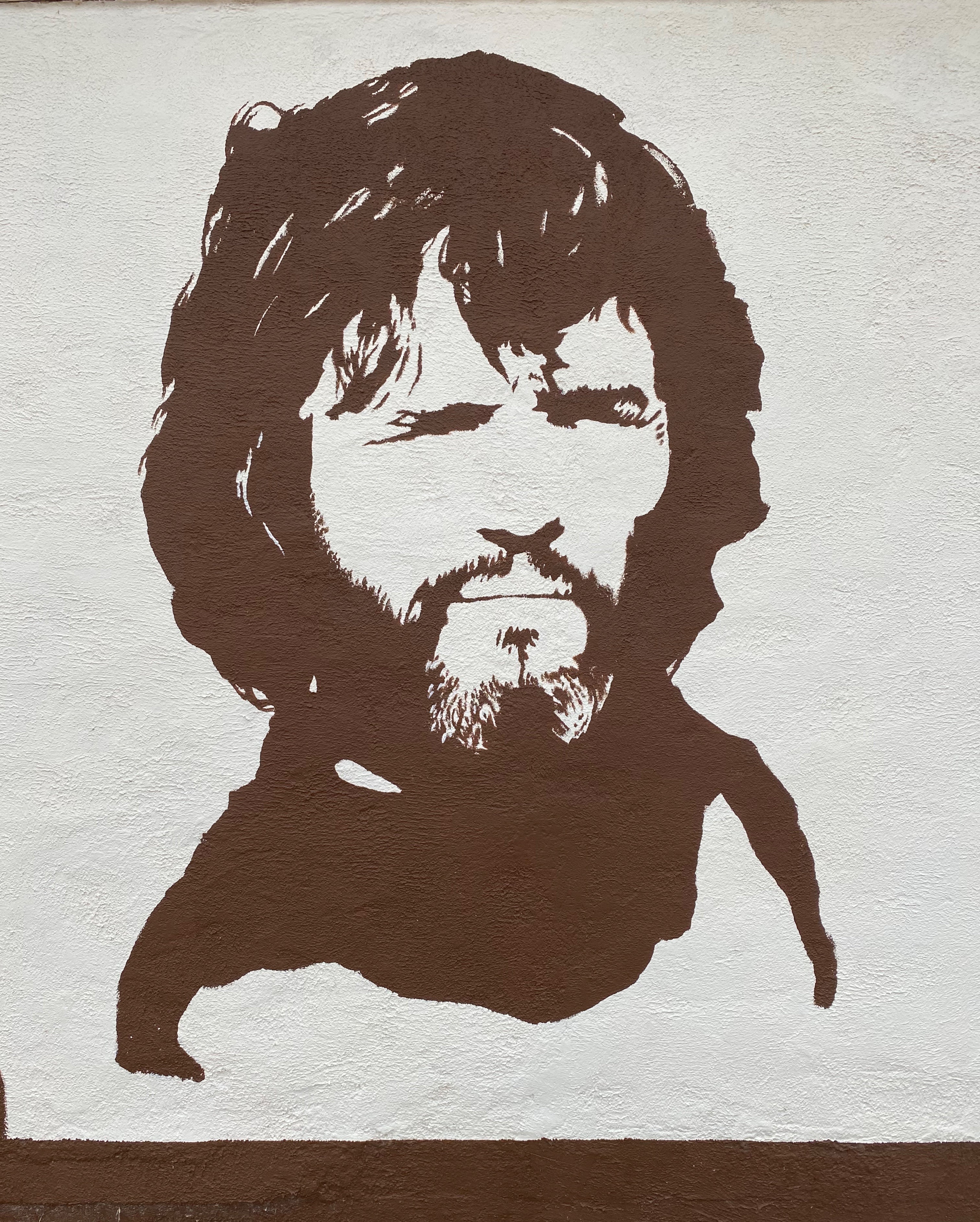
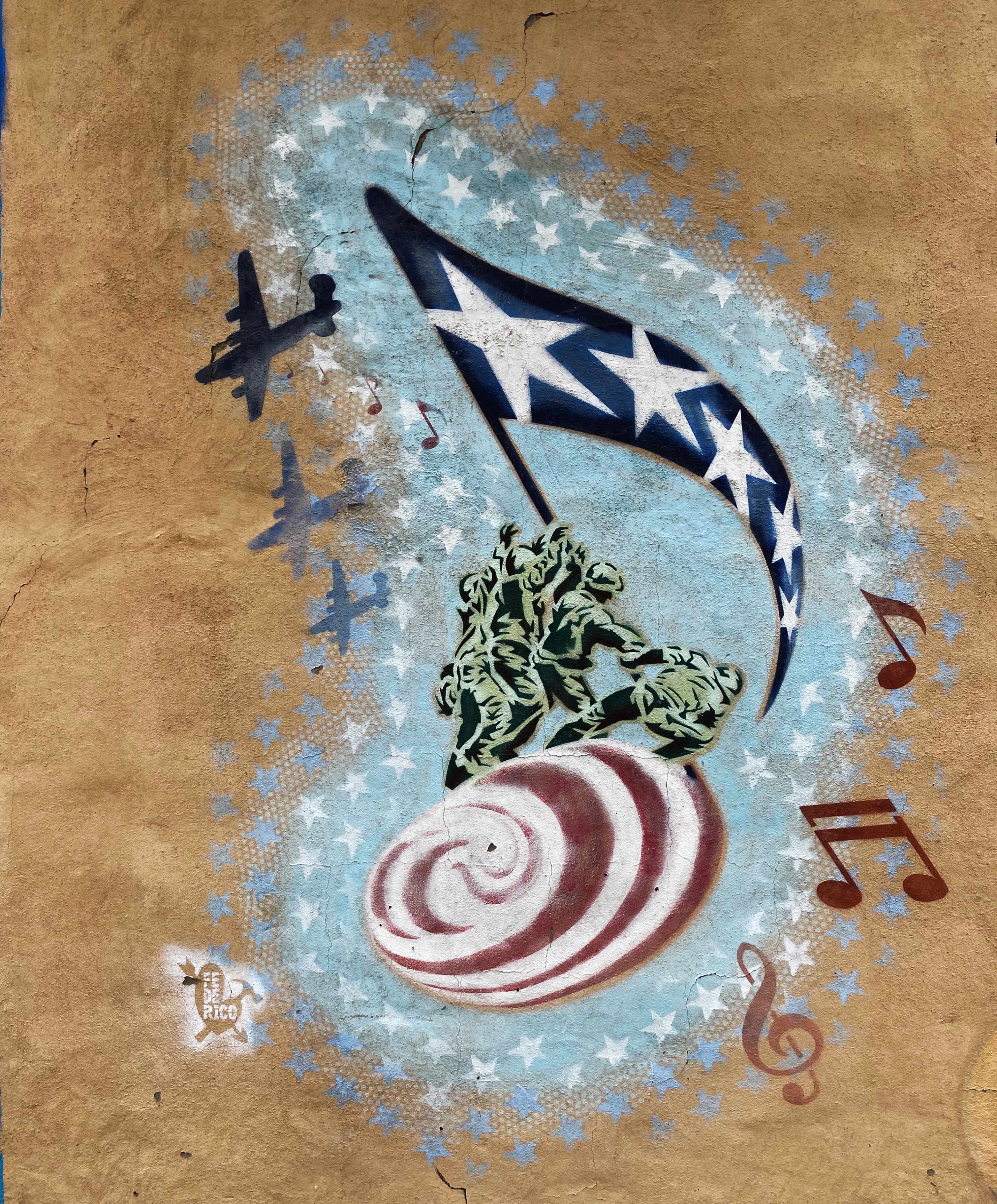
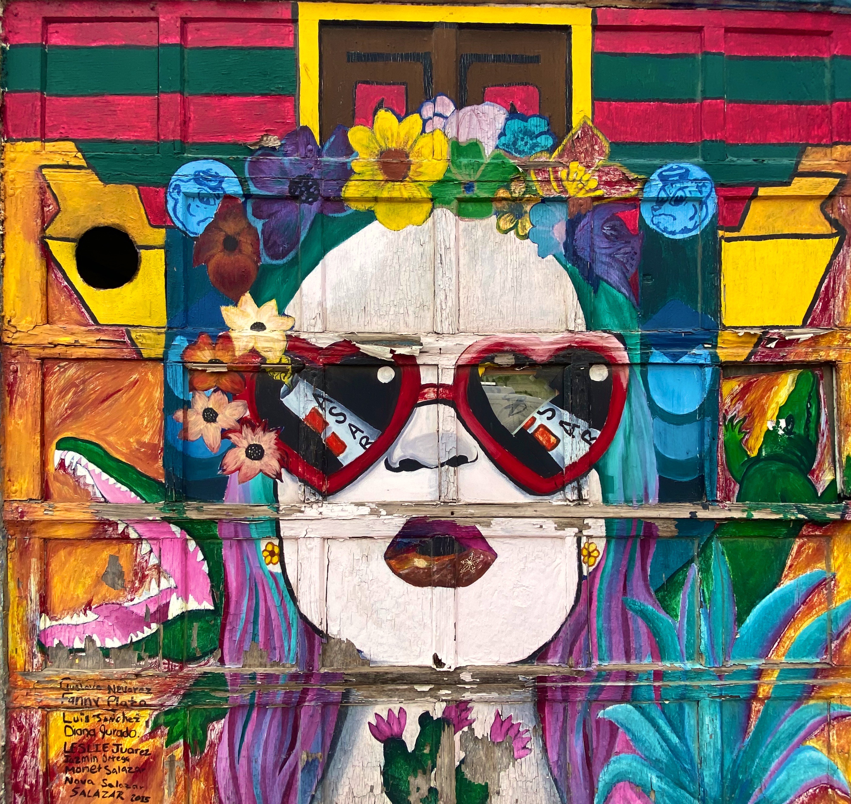
Hello street art fans. This is our second of three planned photo posts featuring street art and murals from our most recent road trip. This post will take us through to our stay in El Paso. We continue to be awed by the amazing artists sharing their talent and creativity with everyone in their communities to enjoy. These works often make a remarkable difference in what might be an otherwise drab or desolate urban landscape. We hope you enjoy the art (we have included attribution for the artists wherever possible).

Artist Unknown – Columbus, Ohio

Sarah Hout @sarahthehout – Columbus, Ohio

“Dream Together” Jeremy Jarvis @jarvjer – Columbus, Ohio

Artist Unknown – Cincinatti, Ohio

Michael Roy @birdcap – Memphis, Tennessee

Emily Molly Wood – Argenta Mural Project – North Little Rock, Arkansas

Roland P. Burnham III @balstovision – Argenta Mural Project – North Little Rock, Arkansas

Artist Unknown – Argenta Arts District, North Little Rock, Arkansas

Jes Weiner @magicatmuralist – Texarkana, Texas

@chelsie310 – Texarkana, Texas

The Highwaymen” – Stylle Read – Marathon, Texas

Monty Welt @montywelt – Alpine, Texas

@deko_uno – El Paso, Texas

Artists Unknown – Leon Street, El Paso, Texas

Artist Unknown – Alameda Avenue, El Paso, Texas

Latino Icons: Don Tosti, Art Lewis, Abraham Chavez, Los Largatos, Rocky Star, Cinta De Oro, Tin-Tin, Rosa Guerrero and Sin Cara – Jesus “Cimi” Alvarado, Martin “Blaster Zubia and Victor “Mask” Casas – Downtown – El Paso, Texas

All of the remaining photographs in this post were taken in the Segundo Barrio. As the name suggests the Segundo was the second neighborhood in El Paso. Since the 1830s this area has been a major entry point for Mexican immigrants coming into the United States. The majority of the immigrants in the barrio were and still are migrant farm workers.

Artist Unknown – Segundo Barrio – El Paso, Texas

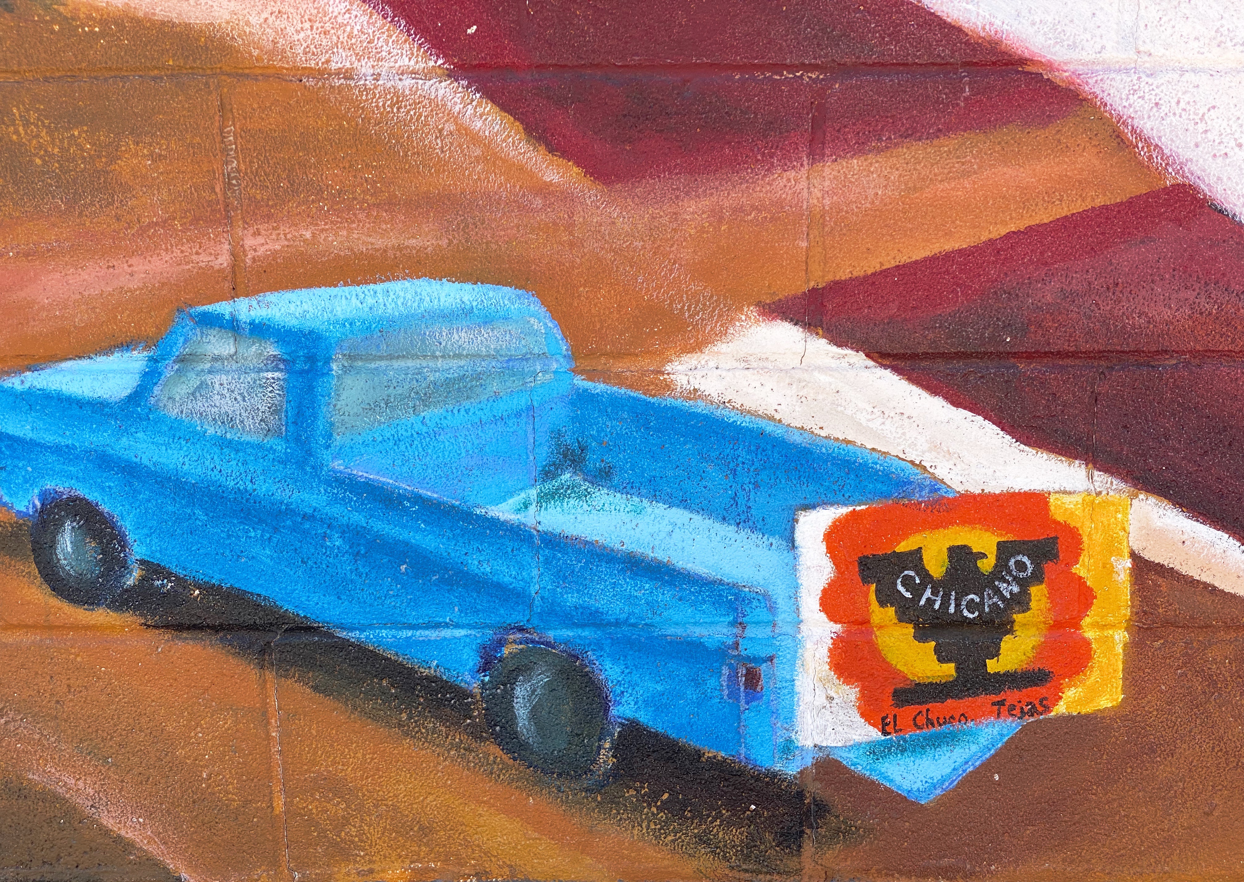
The Segundo still reflects its Tejano culture and traditions very proudly (we hope the murals we have featured below will reflect that same sense of tradition, culture and aspiration). At one point, the city planned to demolish much of the barrio as a way to eliminate the significant substandard housing stock instead of addressing the root causes in a humane fashion. Fortunately, civic groups formed and defeated the city’s plan to demolish the historic area.

El Corrido del Secondo Barrio – Jesus “CIMI” Alvarado and Victor “Mask” Casas – Segundo Barrio – El Paso, Texas

Jesus “CIMI” Alvarado – Segundo Barrio – El Paso, Texas

Unfortunately, the preservation of the barrio has not improved the economic conditions significantly. Many of the Mexican-American residents and immigrants still toil as farm workers. The barrio is poor by any measure, albeit rich in culture, tradition and pride in its heritage.

Artist Unknown – Segundo Barrio – El Paso, Texas

Artist Unknown – Segundo Barrio – El Paso, Texas

Be seeing you!

Western New Mexico….a Slice of the American West

Our first stop after departing Silver City was Catwalk Recreation Area (CWA) where we were looking forward to hiking through the Whitewater Canyon. The beautiful slot canyon formed by the Whitewater Creek once served as a hideout for Butch Cassidy and the Sundance Kid as they attempted to evade the Pinkerton’s. Geronimo and his warriors also used the canyon to elude the U.S. Cavalry.

During the 1890s, the power of the upper creek flowing through the canyon was harnessed to bring water to the gold and silver mill which was situated in the lower canyon. Workers constructed a pipeline through the canyon which was bolted to the canyon walls about 20 feet above the creek. A series of catwalks were built on top of the pipeline in order to access it for maintenance and repairs. The boom came and went, and the mines and mill were closed in 1913; the materials were sold for scrap. The 200 or so residents left for other parts to find work.

The canyon essentially returned to its original state with no residents or mining operations. In 1935 the U.S. Forest Service (USFS) utilized the Civilian Conservation Corps (CCC) to create a hiking trail through the canyon. The CCC used the existing bolts in the canyon walls to build a new wooden catwalk as part of the hiking trail through the canyon. The trail was opened in 1937 and survived until 1961. It was replaced by a metal catwalk which subsequently was destroyed by storms in 2013.

Fortunately for us and other visitors, the USFS was able to have a new catwalk built and installed in less than a year. Today the catwalk extends approximately one half of a mile into the canyon, then hikers can continue on the canyon surface for another mile — as long as they are willing to make several water crossings. There are plans to extend the trail deeper into the canyon in the future.

After our hike at Catwalk, we traveled north and ventured across the winding single lane Bursum Road (NM59) to visit the town of Mogollon (mo-go-yone). The town sits deep in the Mogollon Range within the Gila Wilderness at 6500 feet above sea level.

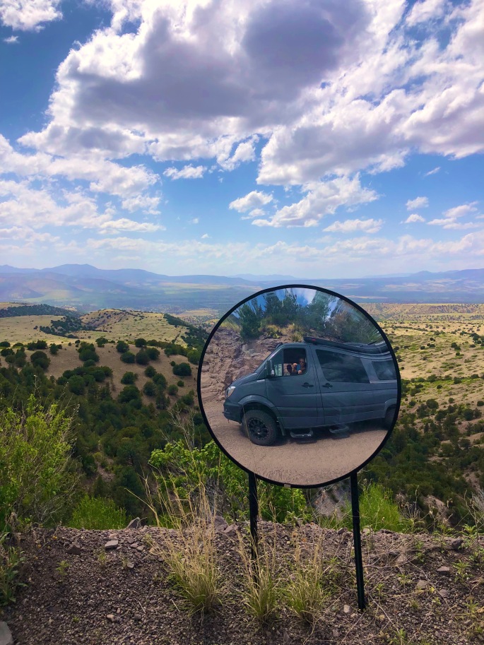
Bursum Road Driving Towards Mogollon
View from Bursum Road to the West

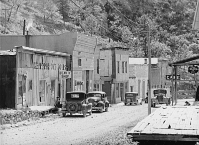
The town is sometimes referred to as a ghost town but it actually has a handful of residents (apx. 15) and several businesses. We saw several parked cars but no people during our walkabout. The town’s history began when gold was discovered in the late 1800s. Gold was mined here continuously until the 1950s. As a result, many of the structures are still standing today which leads to sense of stepping back in time as you travel through the small town.

Mogollon, 1940, Photo credit Russell Lee

Gold mining brought as many as 6000 people to the town at the height of production at the Little Fannie Mine and several other nearby mines. The town flooded often (sitting on the Silver Creek) and major portions burned multiple times. The town’s reputation (like many mining towns) was that of a rough and tumble place with several saloons and brothels (and no law).

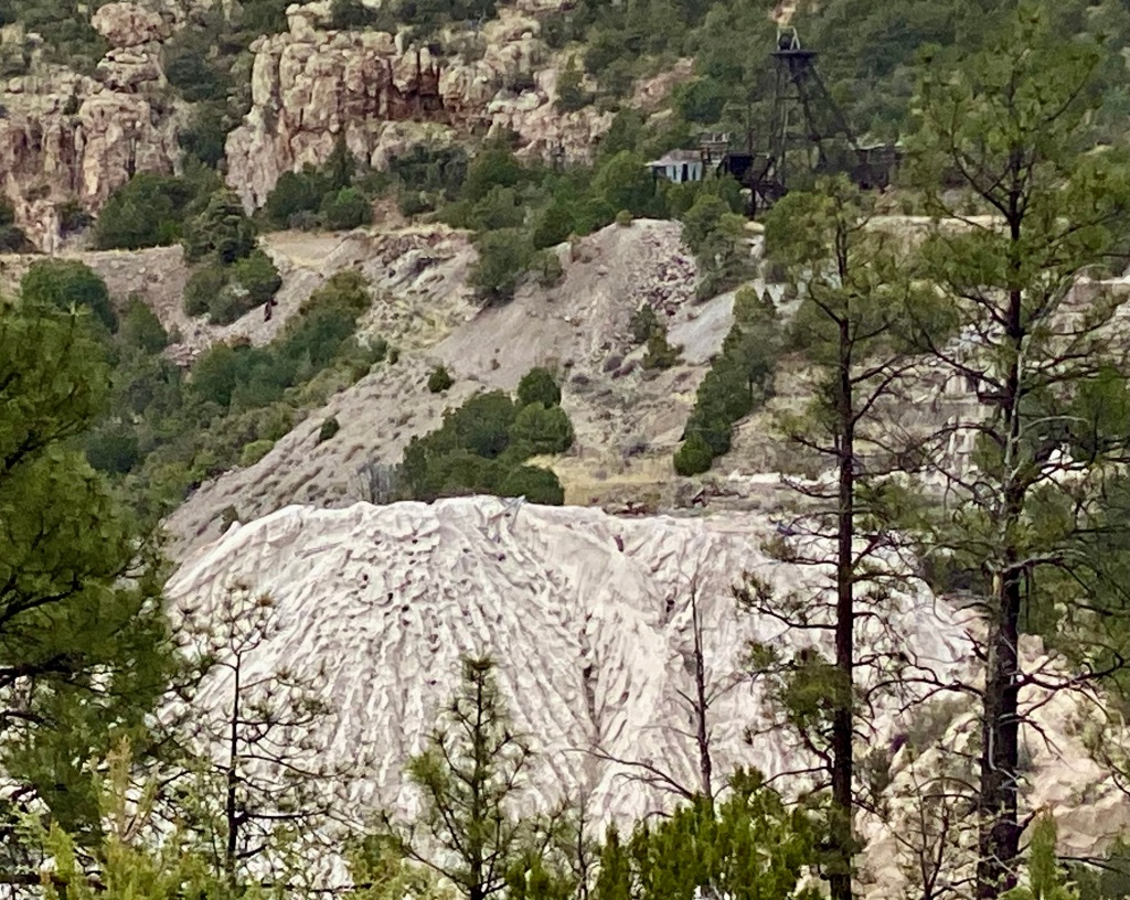
Little Fannie Mine

After our day at CWA and Mogollon we found camping in the Gila National Forest among the pines and the serenading cattle that were roaming around us in constant search of food. The next morning we pushed northeast out of the forest onto the Plains of San Augustin. The Plains stretch 55 miles from the northeast to the southwest and range in width from five to fifteen miles.

Our primary purpose in transiting the Plains was to visit the Karl G. Jansky Very Large Array (VLA). The VLA consists of 27 radio telescopes positioned across the Plains via railroad tracks. Each of the radio dishes stands 90 feet tall, 82 feet across and weighs 250 tons. In their widest configuration the radio dishes stretch for over 20 miles across the Plains. The Plains are an ideal setting for the VLA as it is far away from any population centers and shielded from light by the surrounding mountain ranges.

The Very Large Array

We won’t pretend for a second to understand how this works but it is nonetheless fascinating to see the array in action and to learn about the many important discoveries made utilizing radio astronomy. The array has captured activity in our galaxy as far away as 150 quadrillion miles!

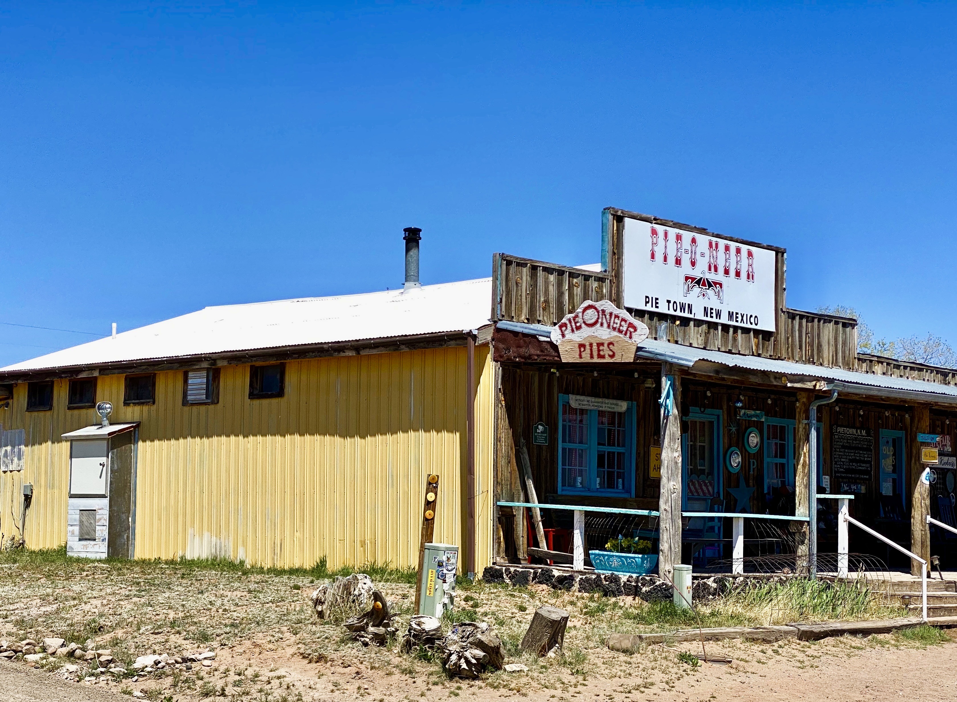
We met a motorcyclist who had pulled over for a break while we were off the road near the VLA adding air to two of our tires with slow leaks. He asked us if we were going to stop in Pie Town – we said yes – he said good, it is a tradition whenever you cross Route 60 to stop and have pie!

Well, we did, and it was dang delish! Maria had the Cherry Almond Pie and I had a piece of the freshly made Coconut Cream Pie. Pie Town establishments did a good business dishing out pies for cross country travelers and local ranchers until the ubiquitous interstate was built and diverted much of the traffic away from town.

Fortunately, about 25 years ago the Pie-O-Neer Cafe opened and it has been doing a booming business ever since. In addition to many travelers that now routinely avoid the interstate, the Continental Divide Trail runs through Pie Town. Many hikers stay at a nearby hostel and consume thousands of calories (based on what we saw) replenishing for the next leg of the journey. The town itself has not grown with a population hovering around 25, but they apparently throw a heck of a pie festival every September.

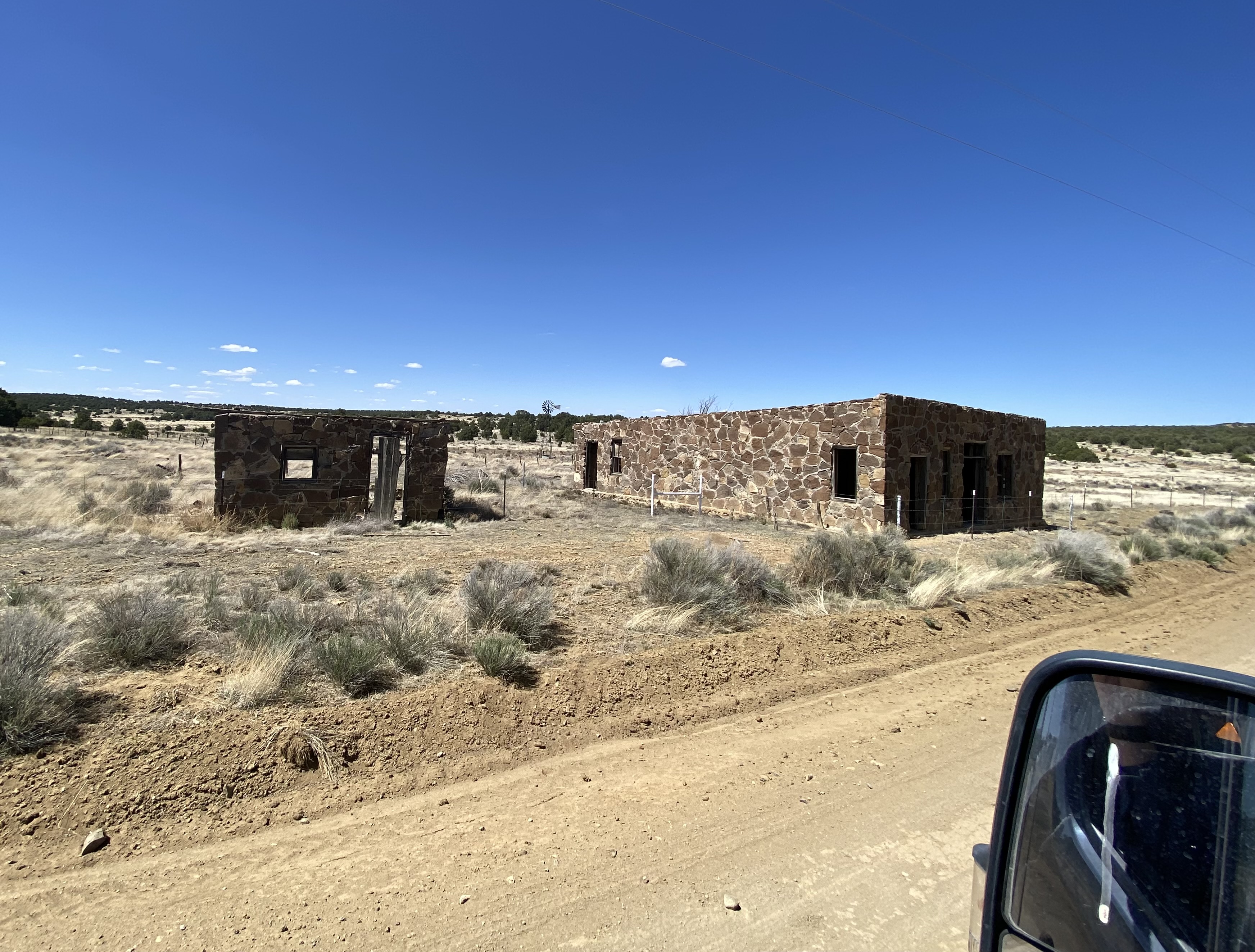
After filling our bellies with delicious pie, we set north across some dusty ranch country on the York Ranch Road in search of camping near El Malpais National Monument (EMNM). As you can see in the photo below left, the desert can be cruel for those unprepared for the terrain.

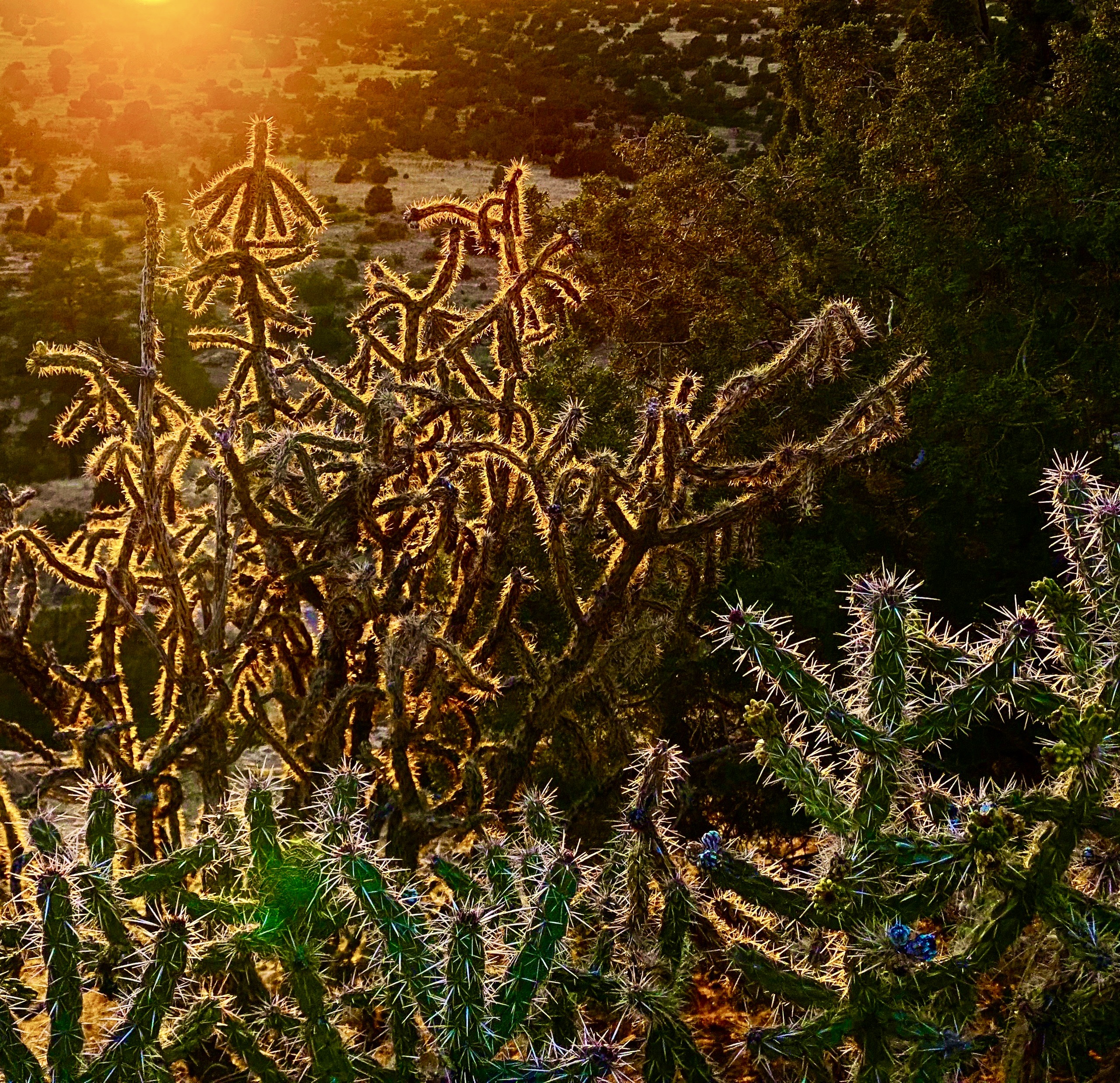
We found a beautiful spot to camp just east of EMNM on a bluff which provided great views and a spectacular sunset.

In the morning we made our way north to Grants, New Mexico to have our leaking front tire replaced. From there, we set out for the Big Tubes area to explore. There is only one way in or out – the Big Tubes Road ( NPS 300) – a classic impassable-when-wet mud job. Fortunately, while there had been some rain leaving behind some large ruts, the road was fairly dry and passable. Regardless, we would not recommend this road without 4WD and high clearance.

NPS 300

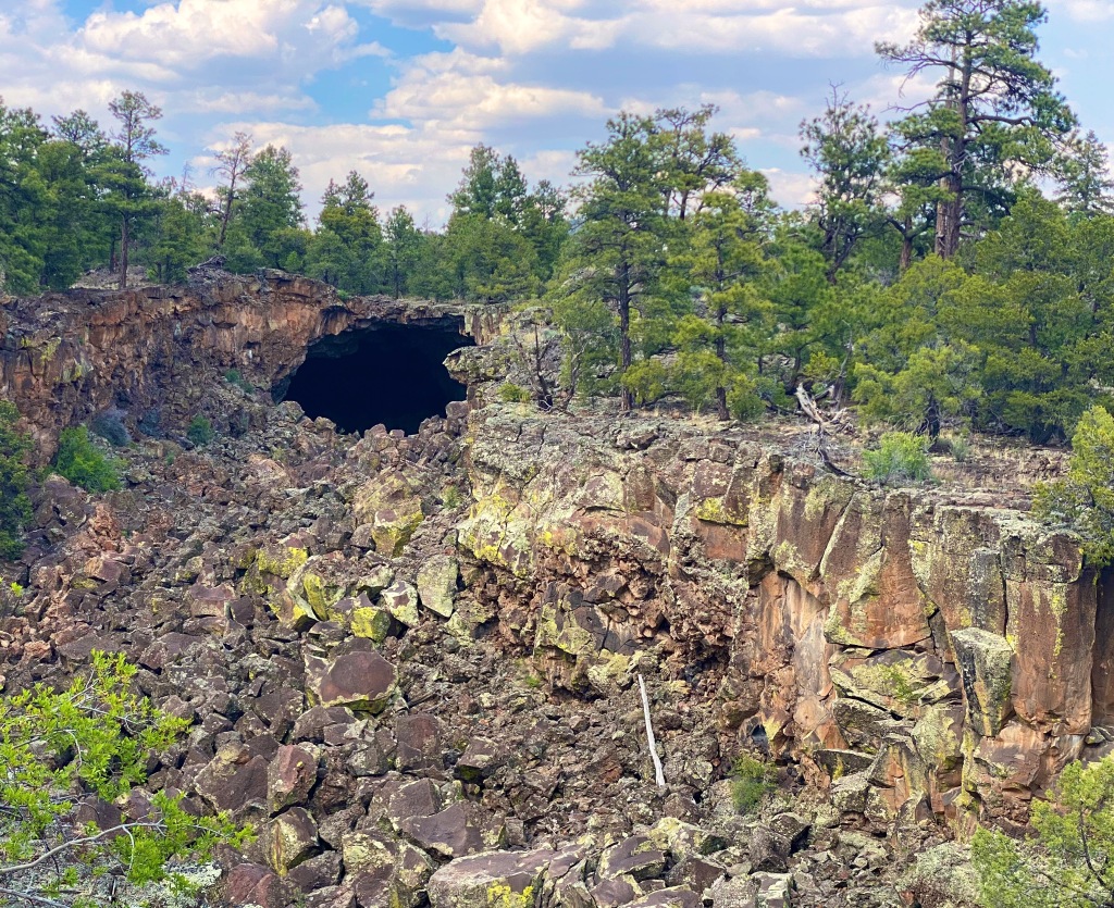
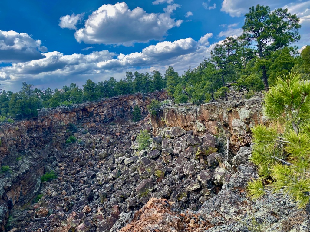
The Big Tubes Area is a massive volcanic landscape that provides the opportunity to explore lava tube bridges, lava tubes, tube caves and lava flows. There are no marked trails, although there are cairns laid out across the field – use the cairns – there are no other usable reference points in this other-worldly place. Even utilizing the cairns we made several wrong turns in hiking out and back across the field.

You are free to scramble down into the tubes and caves and under the bridges. We recommend wearing gloves and a climbing helmet. The boulders in the trenches and tubes are big and sharp!

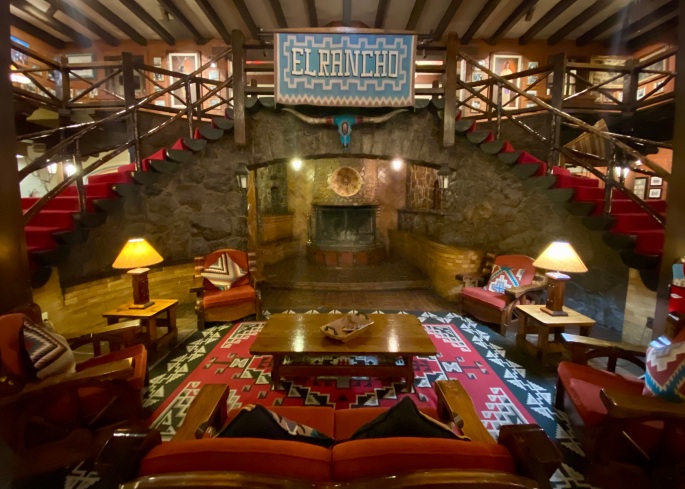
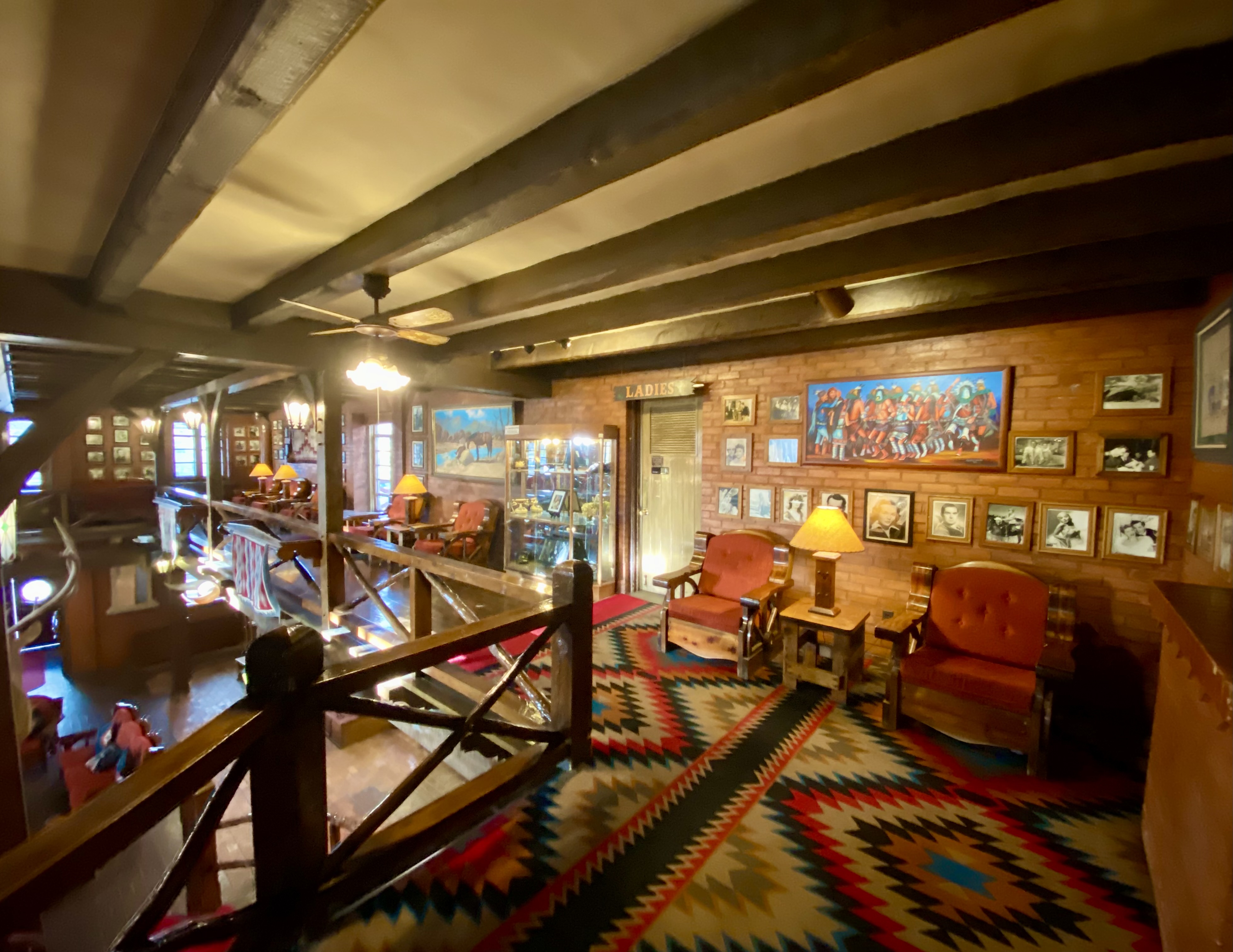
From EMNM we traveled through several portions of the Ramah Navajo and Zuni Indian Reservations on our way north on the 602 to Gallup. We had reserved a couple of nights at the El Rancho Hotel and were looking forward to staying at this 1940s hotel that once hosted dozens of Hollywood stars ensconced here while filming Westerns in the area. Additionally, the hotel sits smack on Historic Route 66 to add even more kitsch. From the photos below you might suspect we were not disappointed with our decision.

Gallup has a storied history that predates the movie making haydays of the 1940s and 1950s. The first white settlers arrived in the area that became Gallup in the early 1860s. This was Navajo land and thus the Navajo attacked the white settlements. The cavalry was dispatched to physically remove the Navajo people from the area. The U.S. Army destroyed the Navajo homes, crops and livestock. The Navajo were then force marched 400 miles to a reservation where they were held for four years. In Navajo history this event is known as The Long Walk.

The town was formally founded in 1881 as a railhead for the Atlantic & Pacific Railroad. The freight lines that ran through the middle of Gallup hauled the high grade coal that was mined in the area. While the coal mining in the area has largely played out, more than 100 freight trains still rumble through town every day.

American Coal Company – Atlantic & Pacific Railcars

Coal miners in Gallup went on strike in 1933. The situation in Gallup was politically charged due to the multi-faceted race issues that existed in the American West. Many of the miners were Mexican and, influenced by their experiences during the Mexican Revolution, were members of the communist National Miners Union. The white miners aligned with United Mine Workers of America. Additionally, by the 1930s, many Navajo Nation members from the abutting reservation had begun working in the mines in Gallup. The Navajo coal miners did not belong to any union and routinely crossed the picket line – they did not consider themselves as members of the world outside the reservation. This act further intensified the significant racism already directed at Native Americans in the West.

The strike turned violent in 1934 and the sheriff was shot and killed by a Mexican miner. Subsequently, the Mexican miners were deported en masse. The UMWA became the sole union, although it took another nine years for a contract to be signed by the coal companies.

Mural Depicting the Coal Mine Riot of 1934

We took advantage of the opportunity to try the local cuisine. Lots of delicious dishes to choose from. The only item we do not recommend is the beef tongue – it’s a texture thing!

We enjoyed our stay in Gallup. Fascinating western history, excellent local cuisine, fine coffee and great street art. However, please keep in mind this is not a trendy tourist town. As a result of the long history of cultural and socio-economic issues there is a legacy of high unemployment, high crime and poor education which is evident within the community.

A quick stop in Farmington, New Mexico for fuel, coffee and groceries and then we headed over the state line for the snow capped peaks of Colorado.

Mural, Farmington, New Mexico

Be seeing you!

Silver City: Feel the Love

As the name infers, precious metals are at the heart of the existence and development of this area of New Mexico. Long before the Spanish arrived the Native Americans were making use of the abundant copper found in the area. The Spanish brought more scale to the mining operations with their “technology” utilizing horses to power the machinery (below) to extract the gold found in the Pinos Altos Mountains .

Spanish Gold Mining Machinery, Pinot Altos Mountains, Gila NF

Today the Central Mining District is still a major precious mineral producer. The St. Rita Copper Mine pictured below is one of the world’s largest open pit mines. It is 1.5 miles wide and over 1500 feet deep.

St. Rita Copper Mine from the Route 152 Overlook

While one of us might find the major extractive industries fascinating, it was not our primary reason for visiting Silver City (SC). The elevation (5900) and surrounding Gila NF meant more comfortable temperatures than we had been experiencing in Texas and Southern New Mexico. Additionally, SC has a reputation as an artistic community where we might find music, coffee, art, history and friendly folks. Happily, SC provided all of these things in abundance.

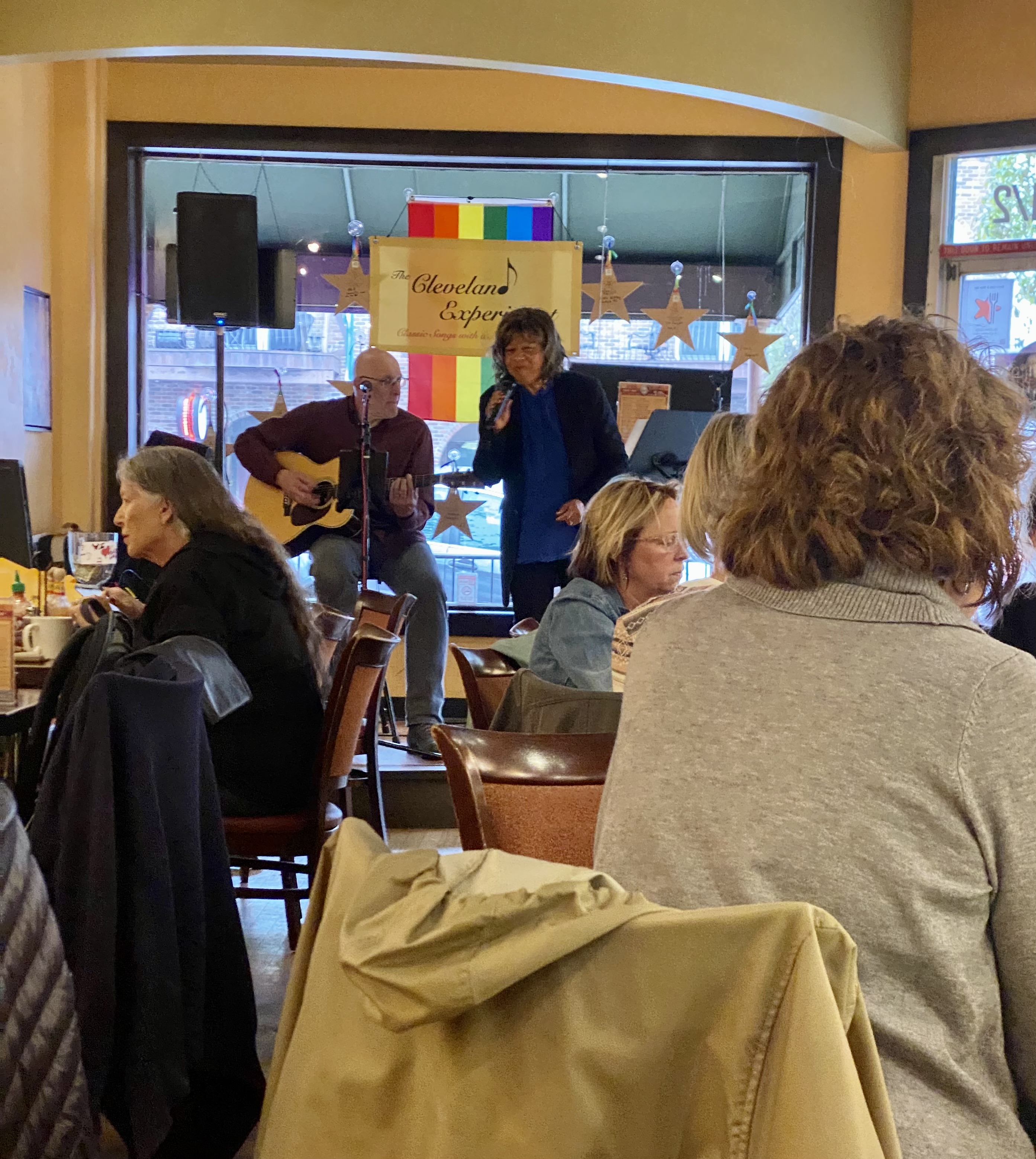
SC has become a draw for the artistic community. We met many folks who found their way to SC to be part of a very open and welcoming community. We started each day at the Buzz to fuel up and invariably met several new folks (many of whom are artists and musicians). SC is definitely a fun town for a two to three day visit and also a good base for exploring the surrounding area.

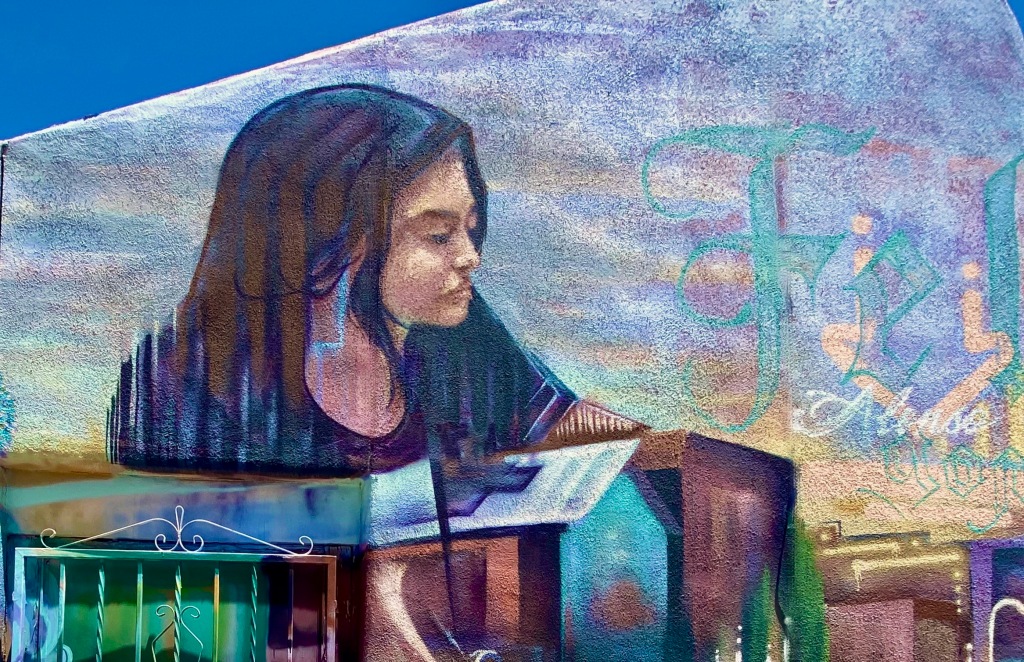
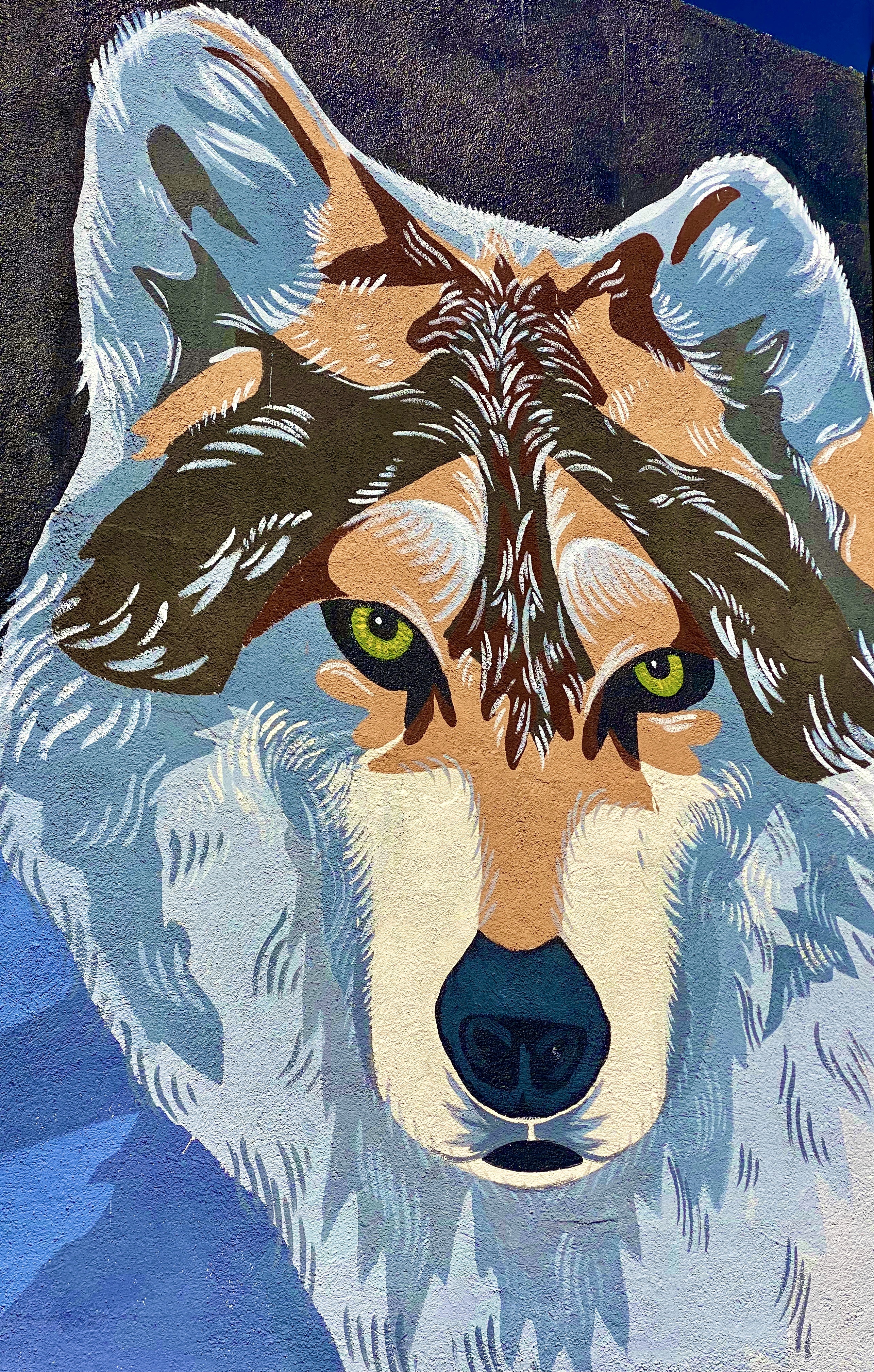
Endangered Species Mural, WNMSU

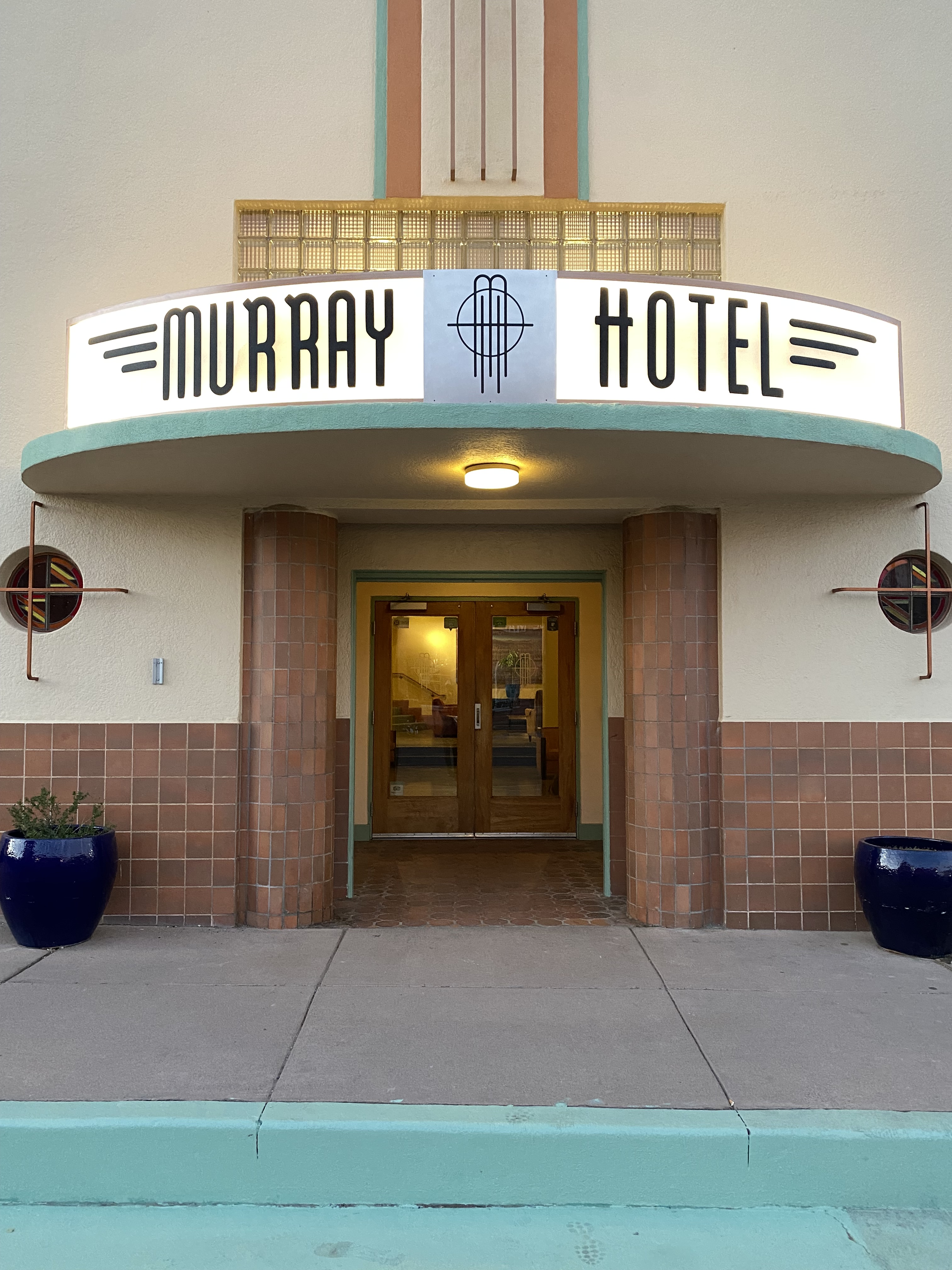
When not sleeping in the Beast, we try to find a local hotel with history and style. In SC we stayed a couple of nights at the Murray, a classic Art Deco hotel. The hotel opened in 1938 and was considered the height of luxury (in the southwest) at the time. It closed for several decades but was renovated and reopened in 2012. The hotel is perfectly situated in the middle of downtown, enabling us to walk everywhere and leave the Beast parked for the duration.

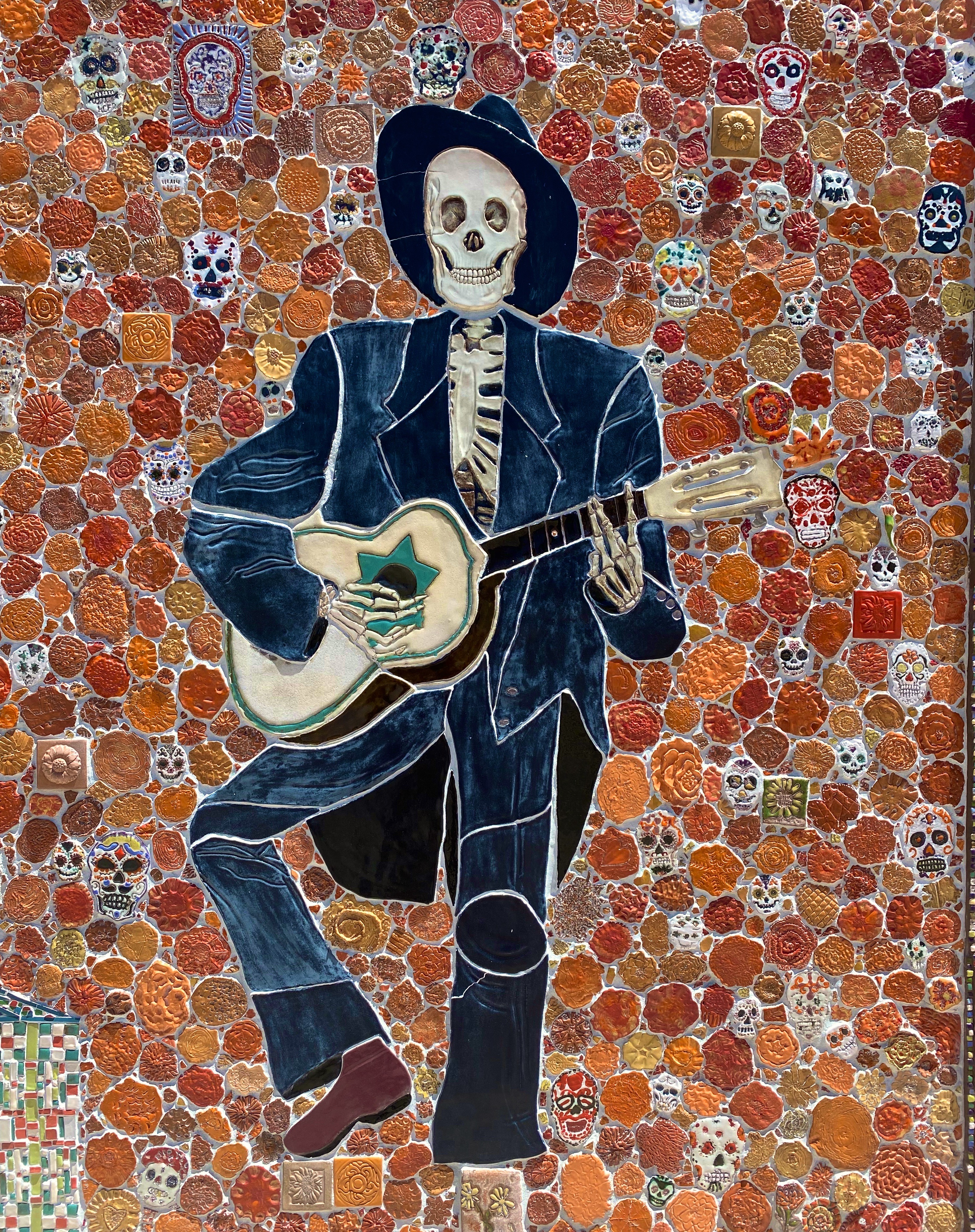
The photographs above are of tiles from the “Dia de los Muertos” mural located on the side of the Silver City Museum. The tile medium is quite popular in the southwest and, along with the subject matter, it reflects the heritage of this area. There is art everywhere in this town – not surprising that SC was named one of the top 100 art towns in the United States.

Just north of SC sits the small town of Pinos Altos (PA as it is called locally). The town was formally organized in 1860 after the discovery of gold by three men stopping for a drink of water in a local creek. The population quickly grew as word of the gold discovery spread.

However, the local Apache people were not pleased to see hundreds of miners descend on what was their homeland. A band of 400 Apache warriors, joined by the great chief Cochise, attacked the settlers in what became known as the Apache War of 1861. Hostilities went on for several years until the cavalry built a fort at Bayard and a treaty was negotiated (we know who got the better end of that deal).

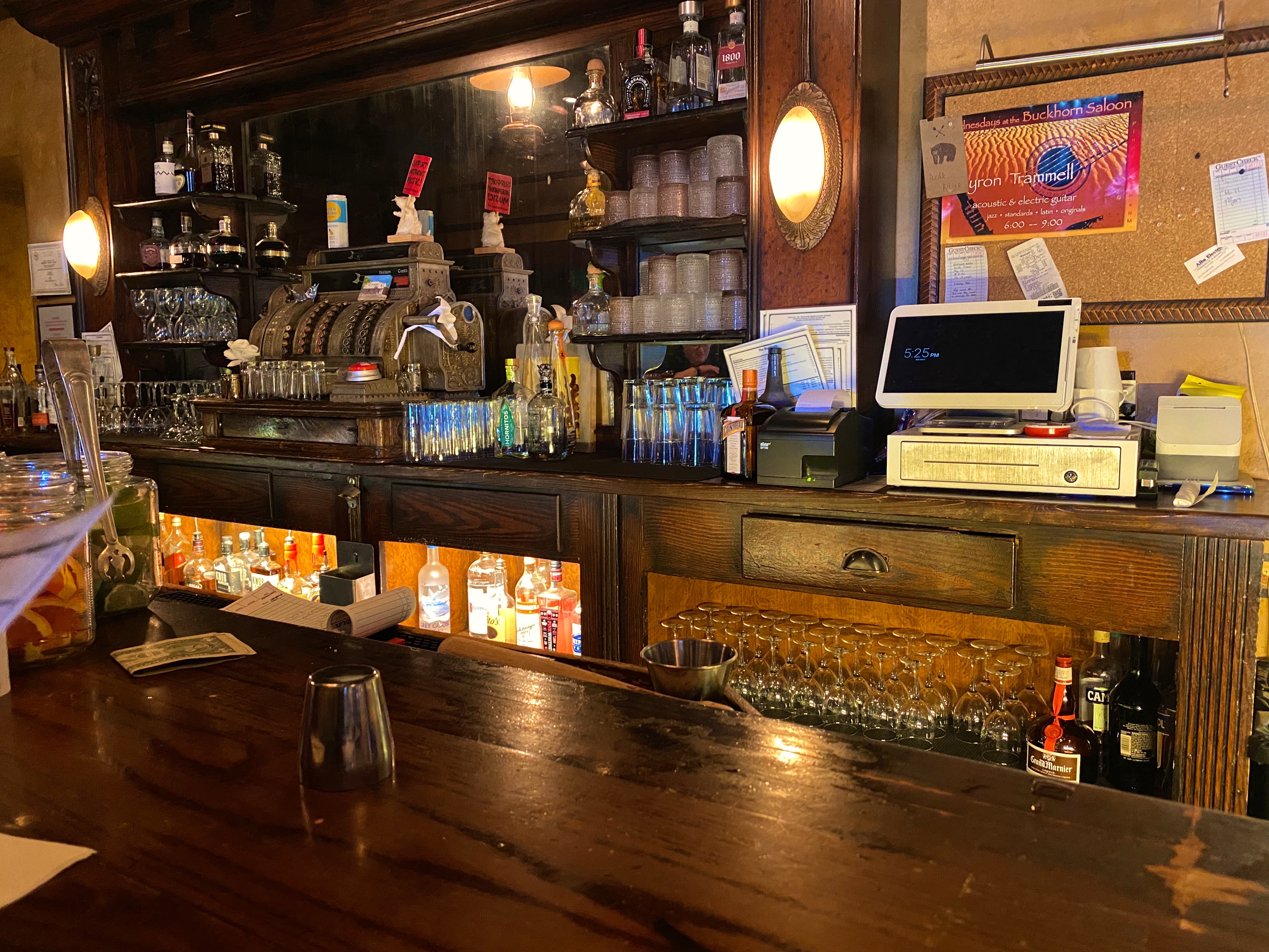
Today the town has 300 or so residents after having been abandoned for may years. Fortunately, many of the original buildings remain, and that in conjunction with the Buckhorn Saloon, engenders a fun, old west atmosphere. Besides, who can resist a town where Main Street is still a dirt road!

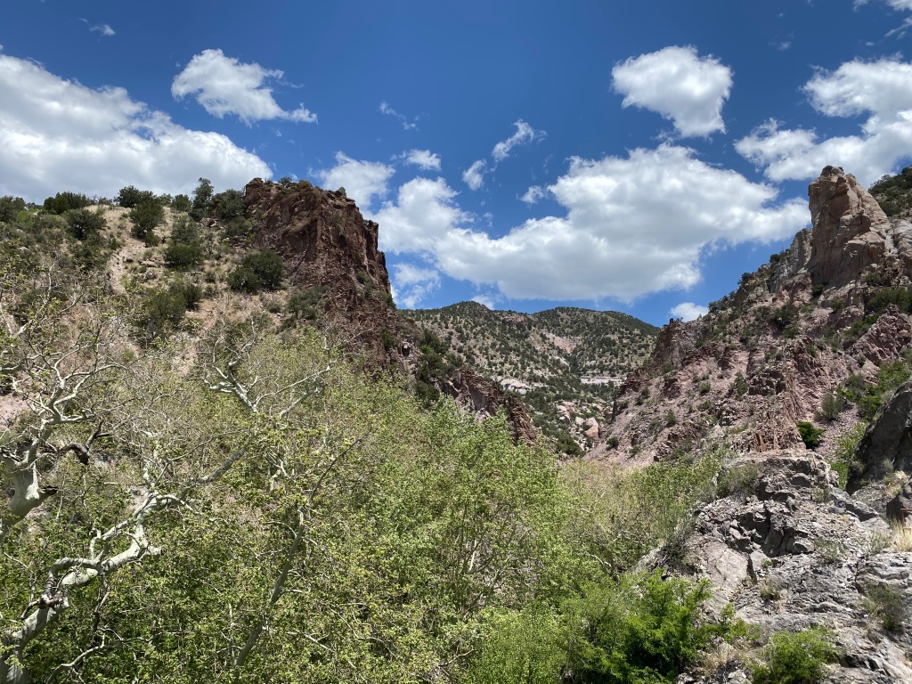
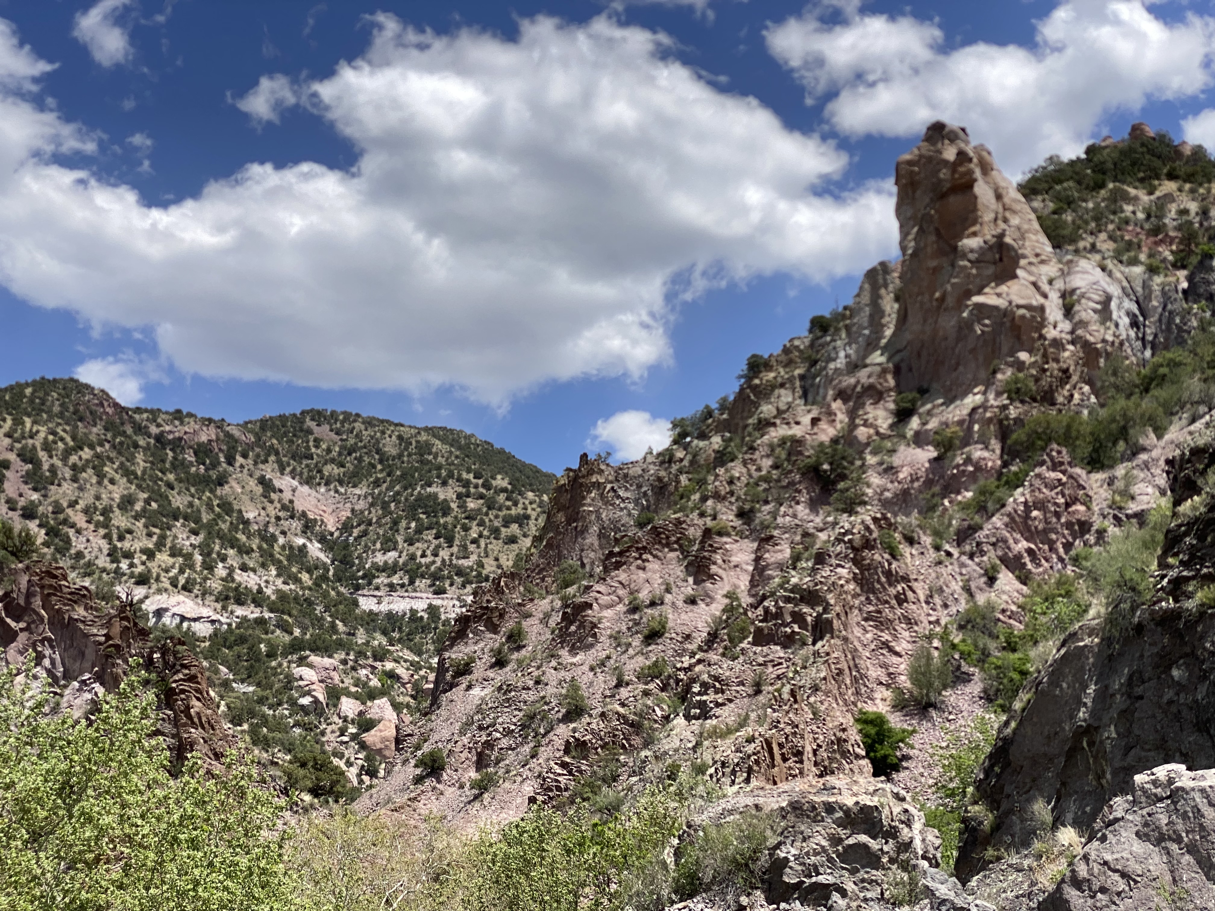
We used SC as our base from which to visit the Gila Cliff Dwelling NM. The drive is only 45 miles as the crow flies but the Pinos Altos Mountain Road (Route 15) is a winding, narrow climb up and over the the Pinos Altos Mountain Range. The 45 mile journey took us about 90 minutes. We had a sunny, clear day so we had great views of the landscape to the north and west once we reached the upper portion of the route.

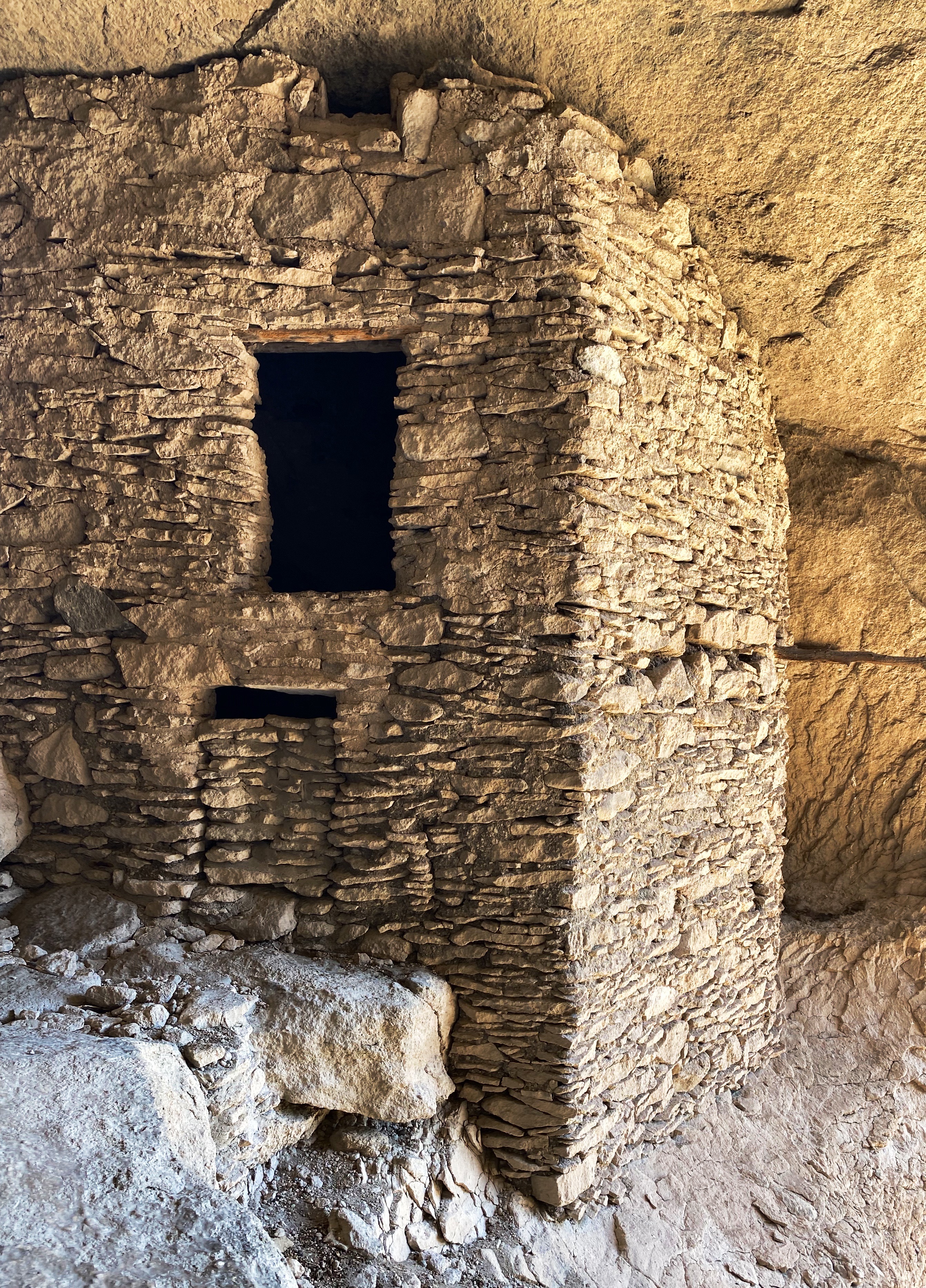
Once we arrived at Gila Cliff we spoke with the ranger to get oriented and then set off on the hike up the canyon and the switchback that leads to the caves. There are five caves here of which three are accessible. The cliff dwellings here are quite impressive, although on a much smaller scale than those we have previously seen at Mesa Verde and Bandolier.

The caves here were used as shelter by nomads for many centuries. In the 1280s the Mogollon People took up residence here and built the 44 rooms that exist today. The 1280s timing is based on tree rings on the wood framing which is original and shows a range between 1260 and 1280. It is thought by archeologists that 10 to 12 families resided in these dwellings. It appears that by the early 1300s the Mogollon had moved on to parts unknown. Why they left is unclear.

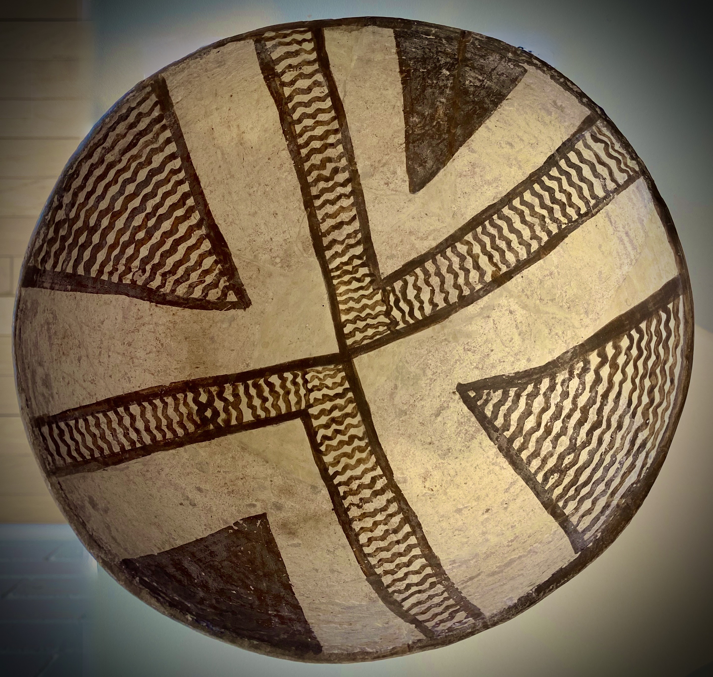
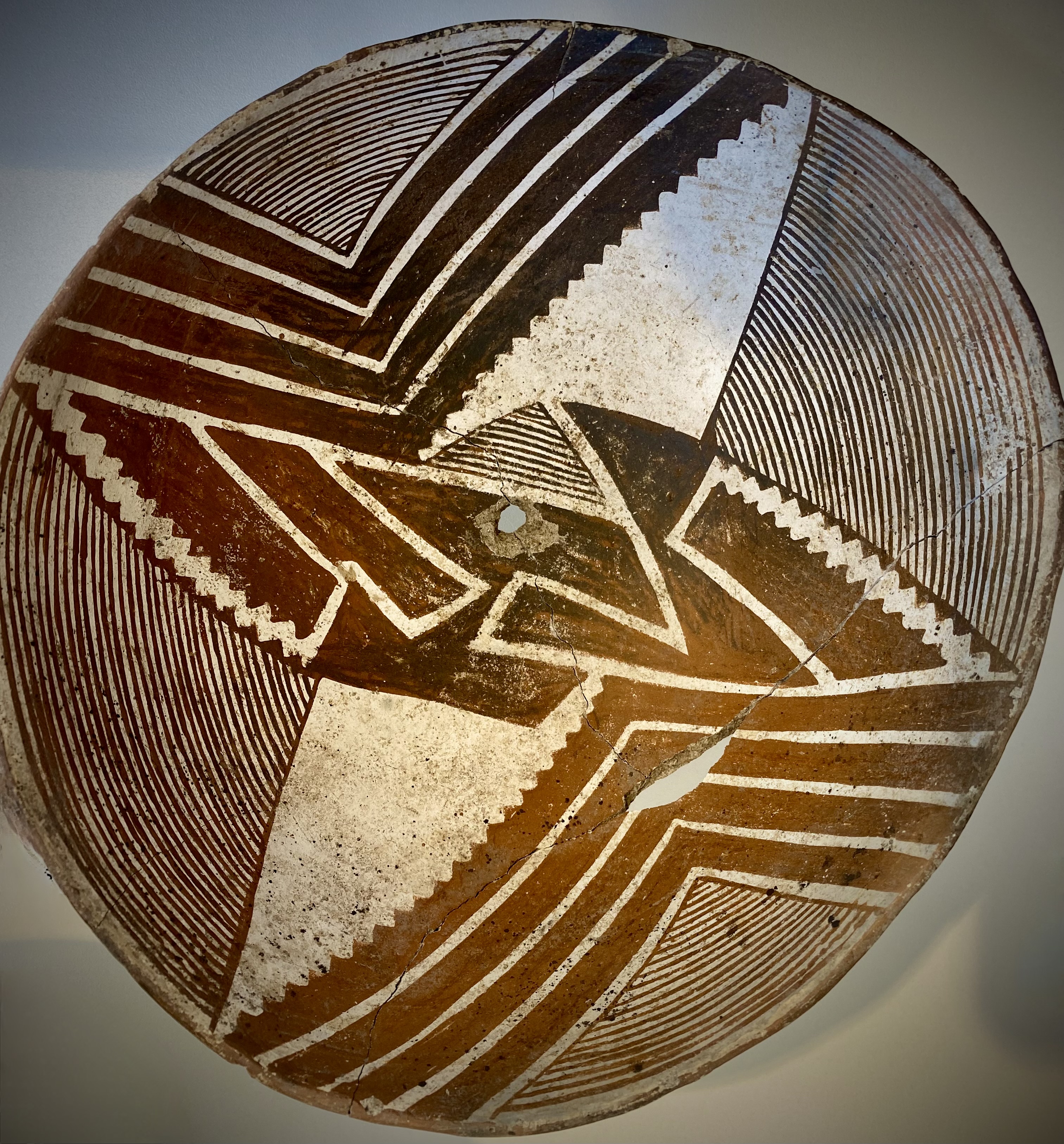
The Mogollon Peoples, in addition to being skilled builders and farmers, were outstanding potters. As a follow up to our visit to the cliff dwellings, we visited the Western New Mexico University Museum located conveniently (for us) on the campus in Silver City. The museum houses the world’s largest collection of pottery made by the Mogollon Peoples. Much of the pottery was discovered by ranchers who settled in the Mimbres Valley. Fortunately, a significant portion of the pottery was well preserved and the ranchers donated it to the museum. We have included several photographs below so that you might get a sense of the beautiful craftsmanship.

We had a great stay in SC. Our next travels will take us north through western New Mexico where will hike on a catwalk, visit a ghost town in the mountains, look into deep space and eat pie!

Be seeing you!

El Paso to Silver City:Desert to Mountains

After our three day stop in El Paso we continued our journey west driving through the Chihuahuan Desert in New Mexico. Our plan was to cross a good portion of the state via the desert—intersecting with Route 11 before turning north and exploring the western portion of the state.

Chihuahuan Desert, New Mexico

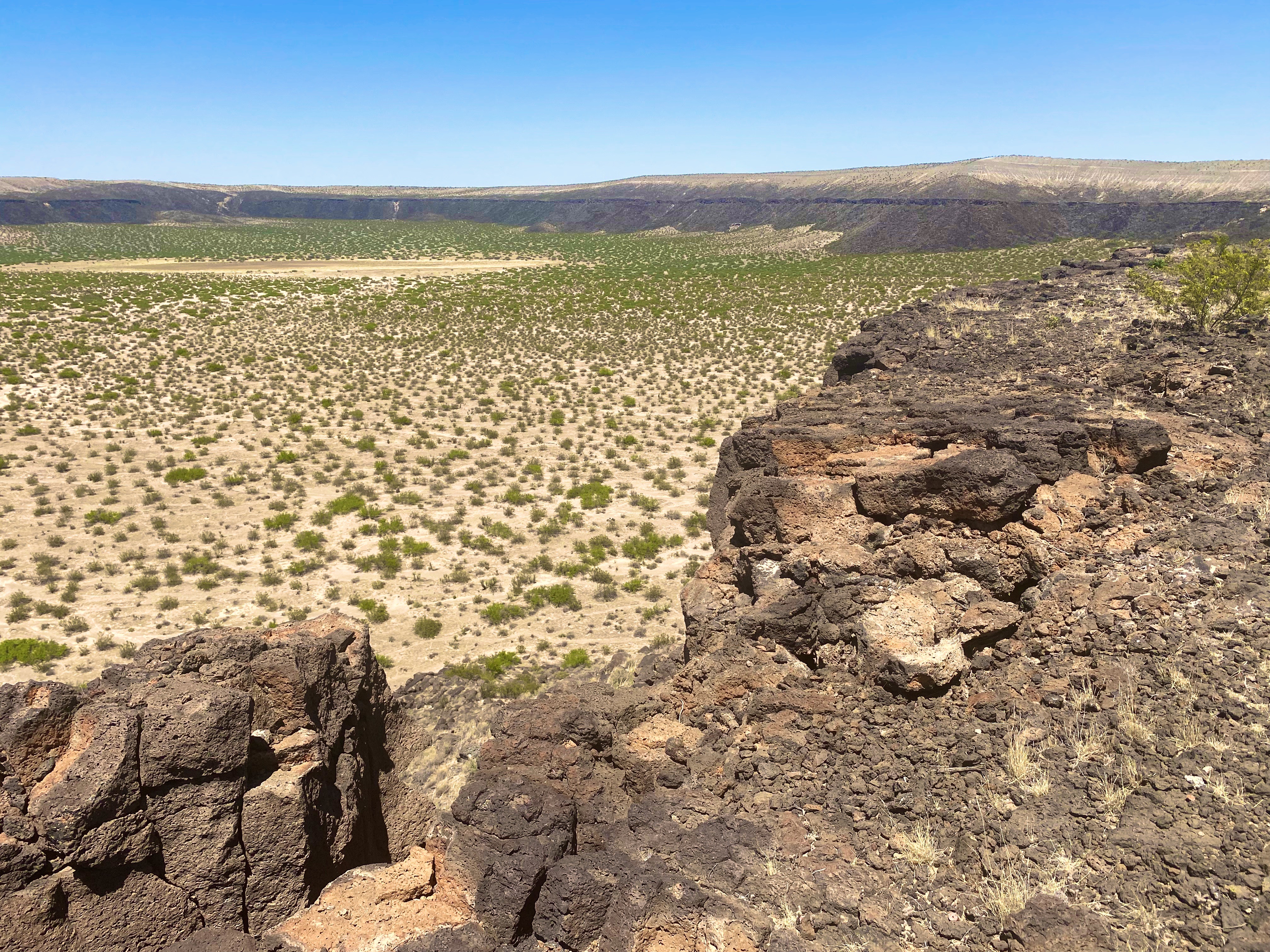
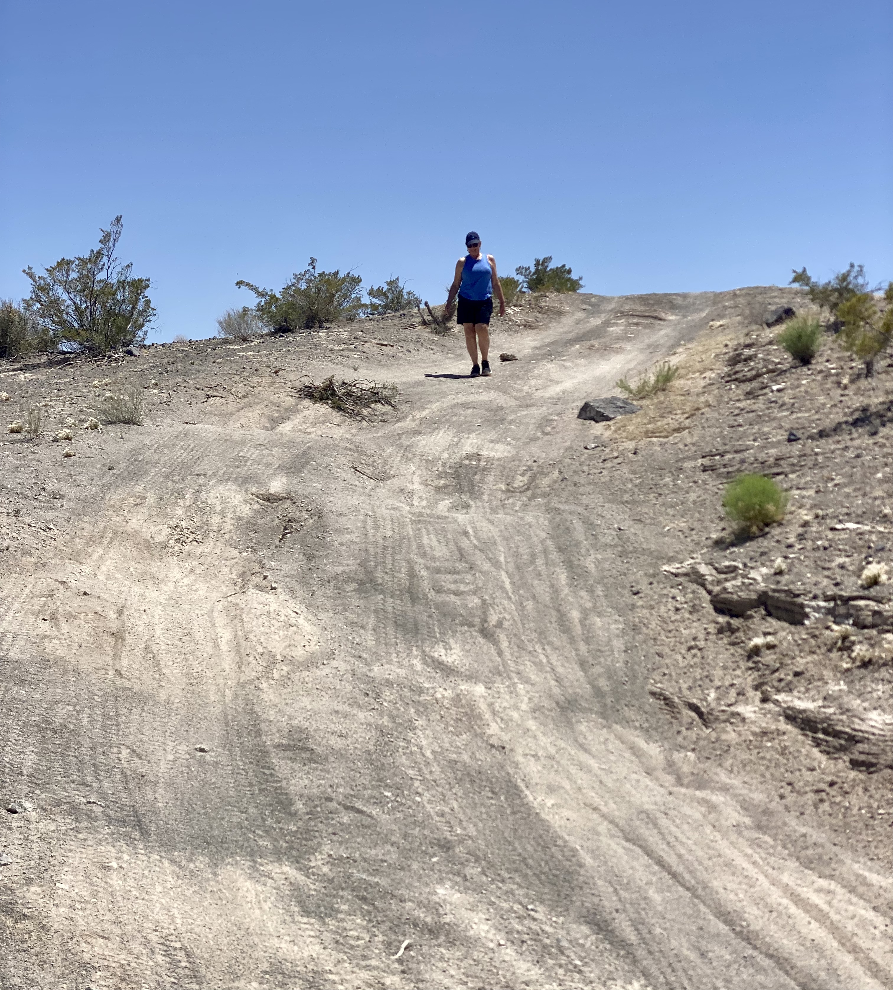
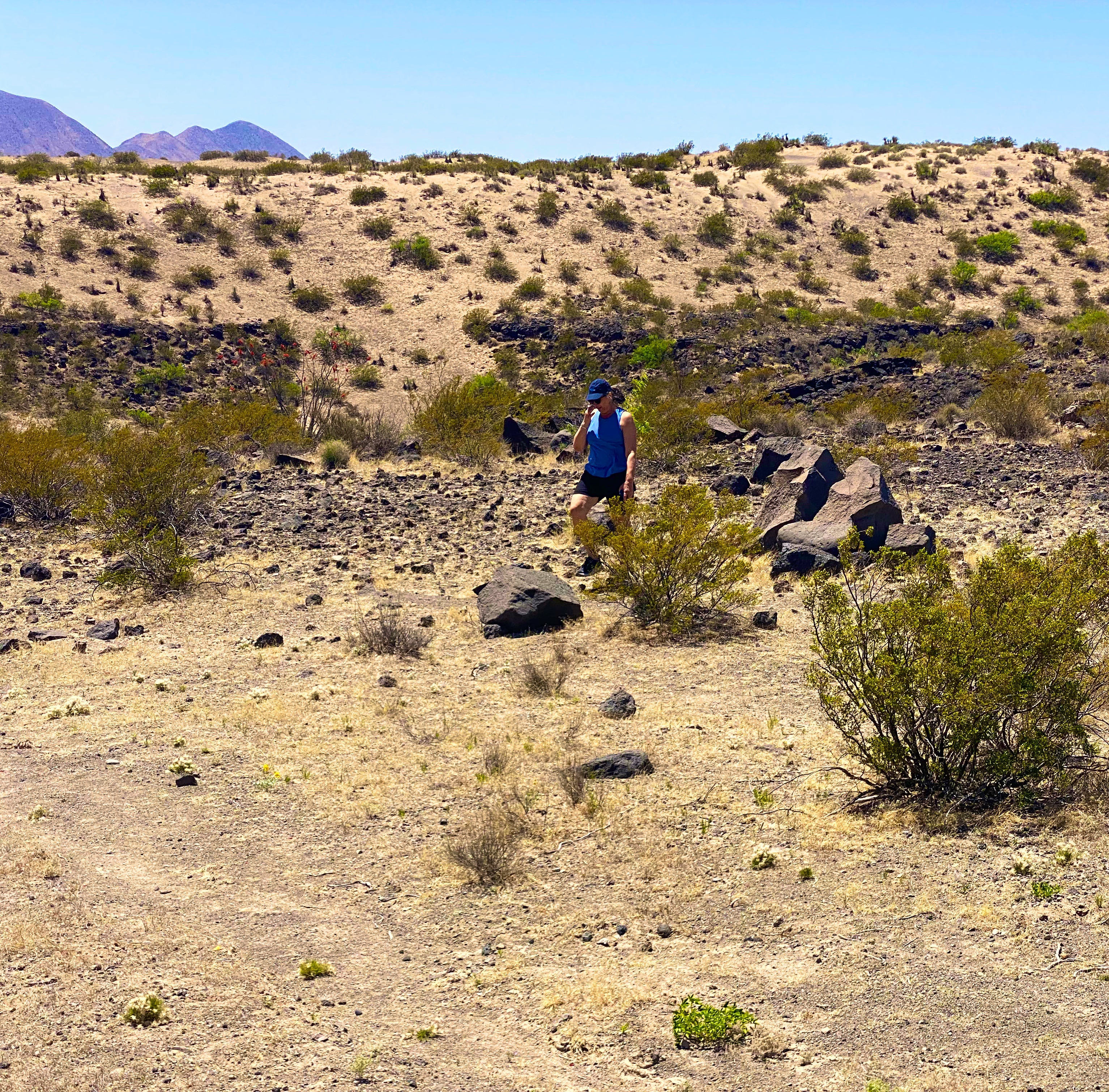
As part of the crossing we wanted to find the KIlbourne Hole. The Hole is a volcanic crater estimated to be between 24,000 and 100,000 years old and in the middle of the Petrillo Volcanic Fields. The crater is 1.7 miles long, a mile wide and from 300 to 400 feet deep. The crater was caused by a massive volcanic explosion which occurred when the underlying magma heats groundwater to the point where the resulting pressure literally blows the ground upward hundreds of feet into the air.

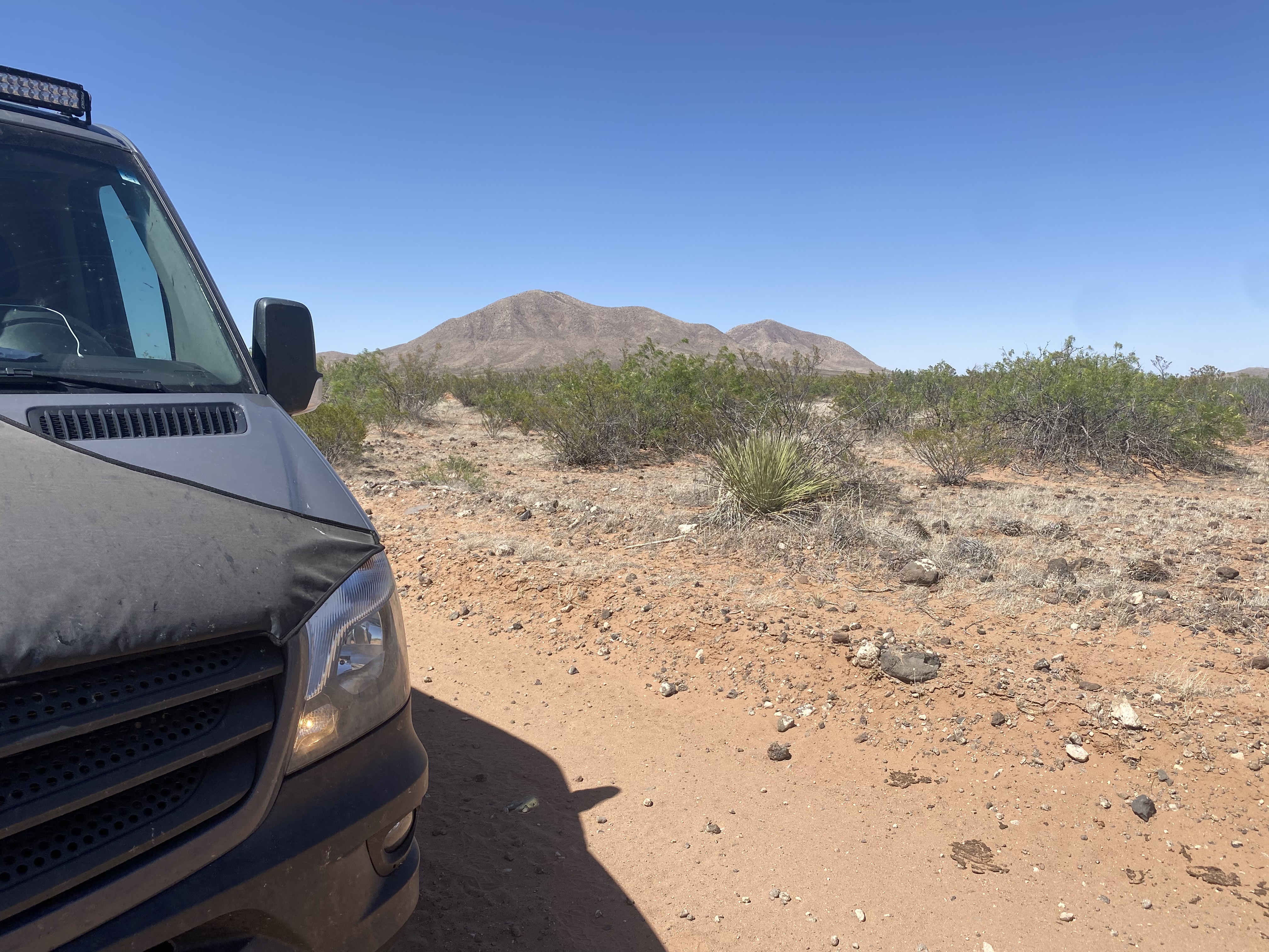
While it may sound funny, finding the hole required Maria’s expert navigation skills. Yes—the hole is over a mile long and wide—but driving on the flat desert floor provides no landmarks or rises from which to visually identify the crater.

Kilbourne Hole

The crater is impressive for both its physical size and the sense of complete isolation that you feel while gazing out from the rim. The force of nature required to create this crater boggles the mind.

From there we continued west along the boundary of the designated wilderness area. As mentioned earlier, we were hoping to cross the desert until we intersected with Route 11 which is the north/south route from Chihuahua. The road became particularly rough and we opted to find a route south to connect with the pavement of Route 9 — so we fell about 20 miles short but had no regrets about our decision.

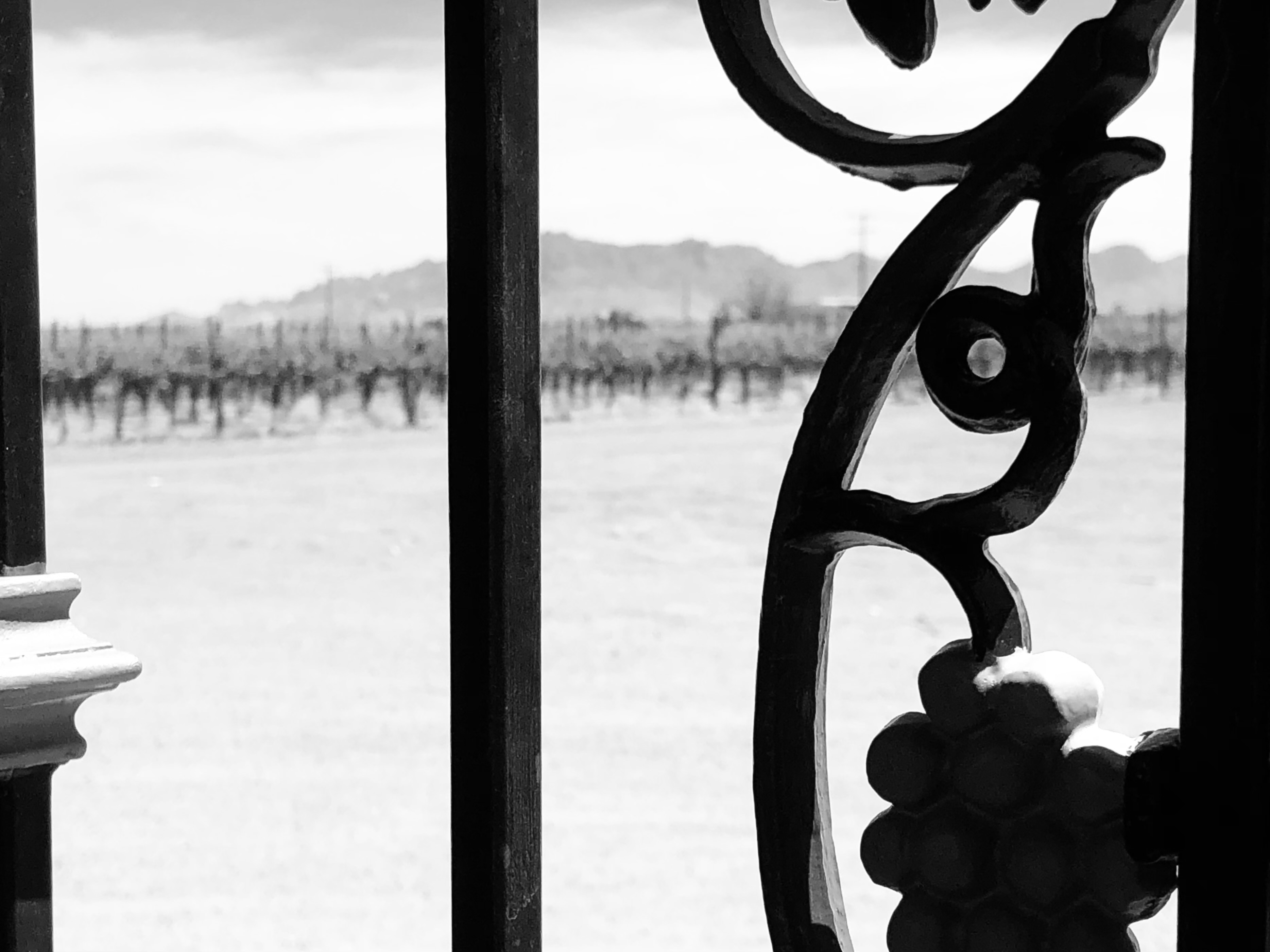
After reaching Route 11 we turned north for our night’s destination. Having worked up a thirst in the desert we decided that a bit of hydration was required. Fortunately for us, the Luna Rossa Winery is located in Deming along the way.

Paolo D’Andrea emigrated to the United States in 1986 from Italy and founded Luna Rossa Winery in 2001. The winery specializes in Italian varietals, and currently produce about 8000 cases of wine per year. In addition to the winery, they own and operate a pizzeria in Las Cruces, New Mexico.

We enjoyed a tasting of a number of their wines (purchasing several) and meeting some fellow travelers from Louisiana before departing for Rockhound State Park.

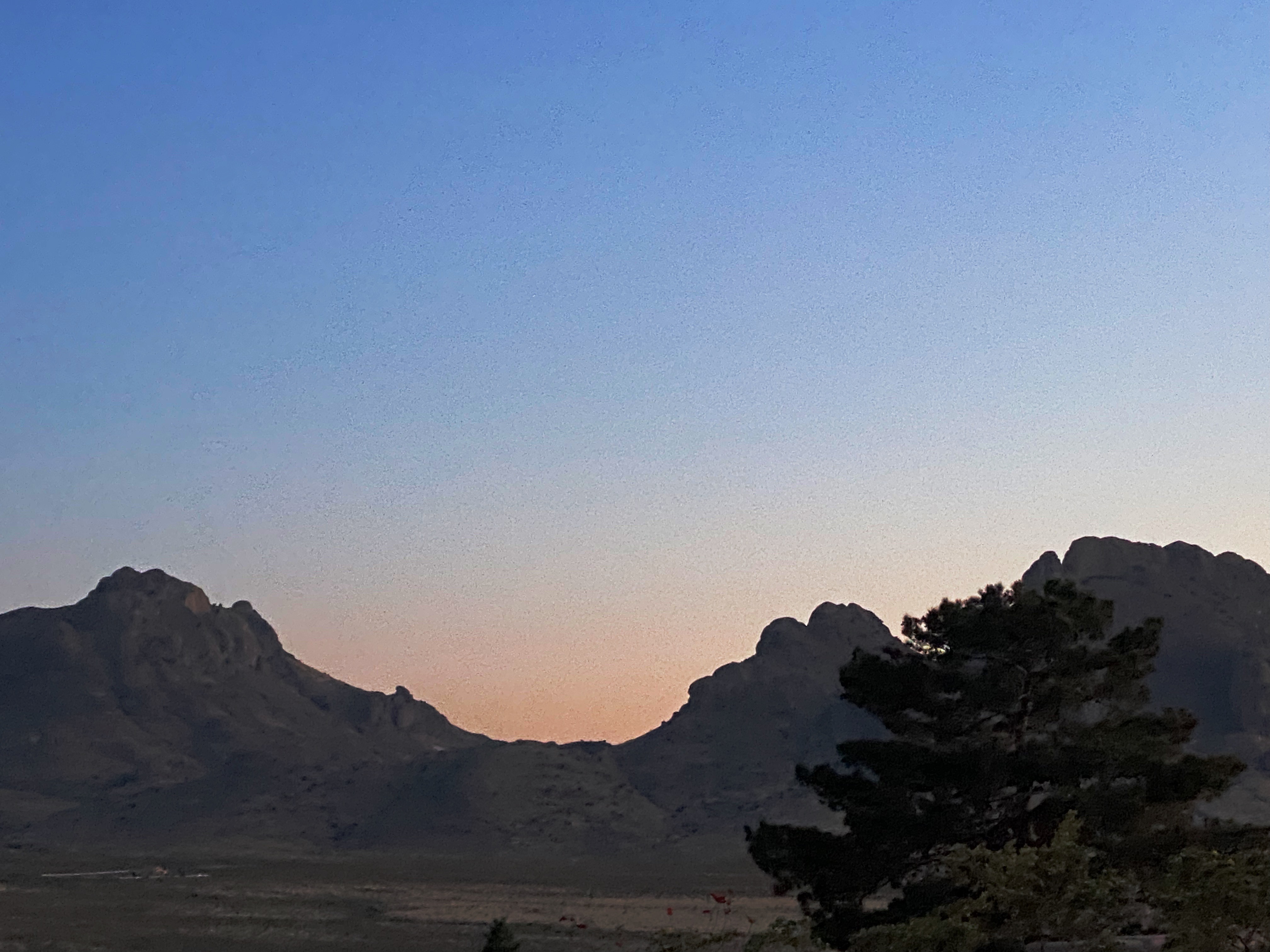
Florida Mountains, Camping with a View!

Rockhound State Park sits at the northern end of the Florida Mountains and in the foothills of the southern end of the Little Florida Mountains providing impressive views across the canyon in between. The Florida range is only twelve miles long but nonetheless quite impressive with peaks that sit at 5000 to 7000 feet above sea level. The surrounding flatlands serve to accentuate their prominence. Our campsite provided us with a spectacular view of the northern most peaks in the range.

The next morning we drove across the valley floor to access the Spring Canyon Trailhead. The Spring Canyon Trail winds its way up through the canyon until you reach the spring. But alas, the spring was already dry for the season. Nonetheless, it was a good hike providing solitude and great views to the north on the return back to the trailhead. The site of the spring where we stopped climbing is at approximately 5700 feet above sea level. Breathing hard!

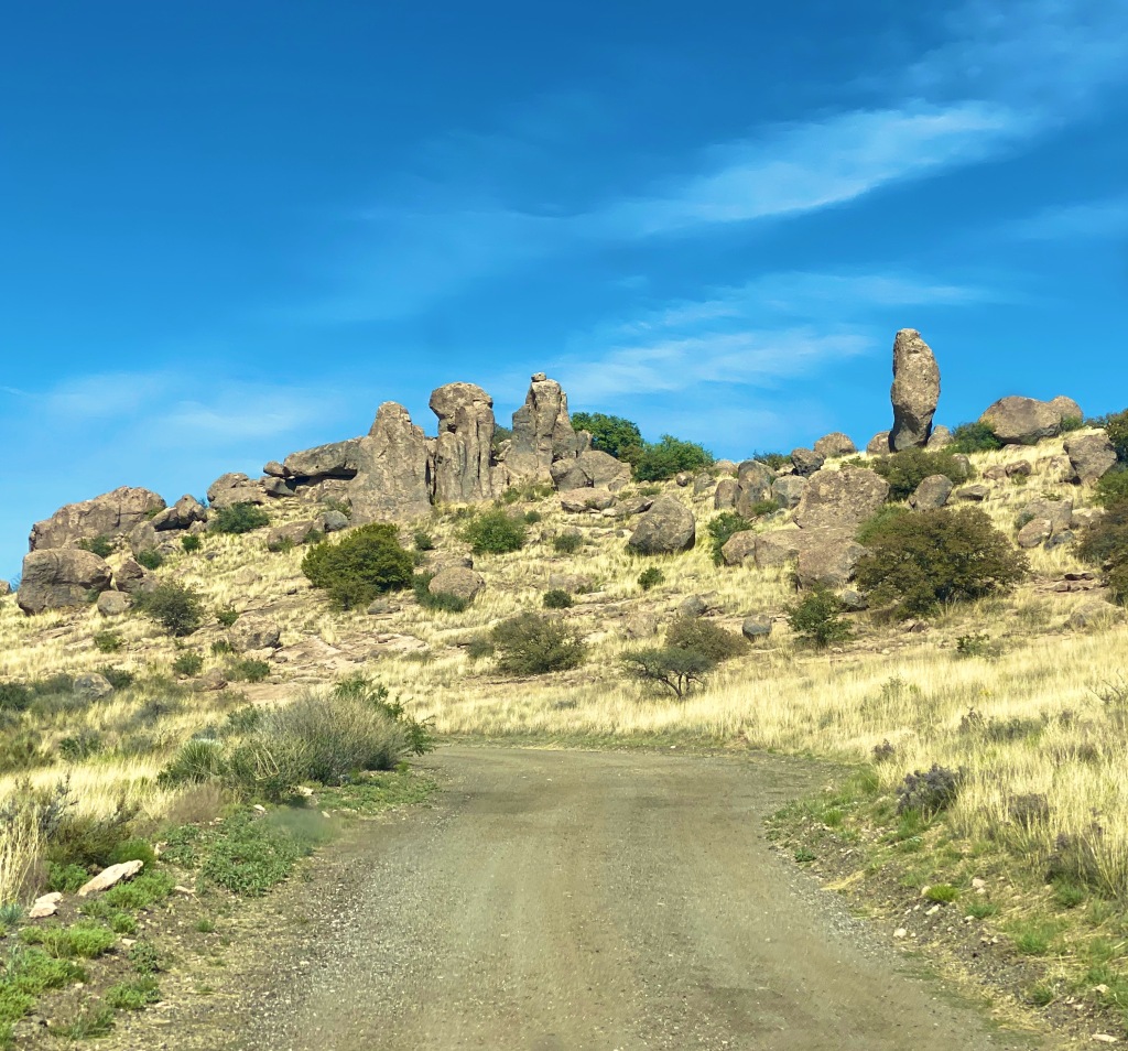
Our next stop was in Maywood at the City of Rocks State Park. The City is just one square mile in size and sits at 5200 feet above sea level in the northern reaches of the Chihuahuan Dessert. This area surrounding the rock formations is more reminiscent of grasslands than what we usually think of as desert. The rock formations are the result of volcanic activity 35 million years ago and the subsequent erosion of the rocks creating the pinnacles that exist today.

This state park offers primitive camping among the rock formations. We enjoyed a beautiful sunset and night sky before turning in for the night.

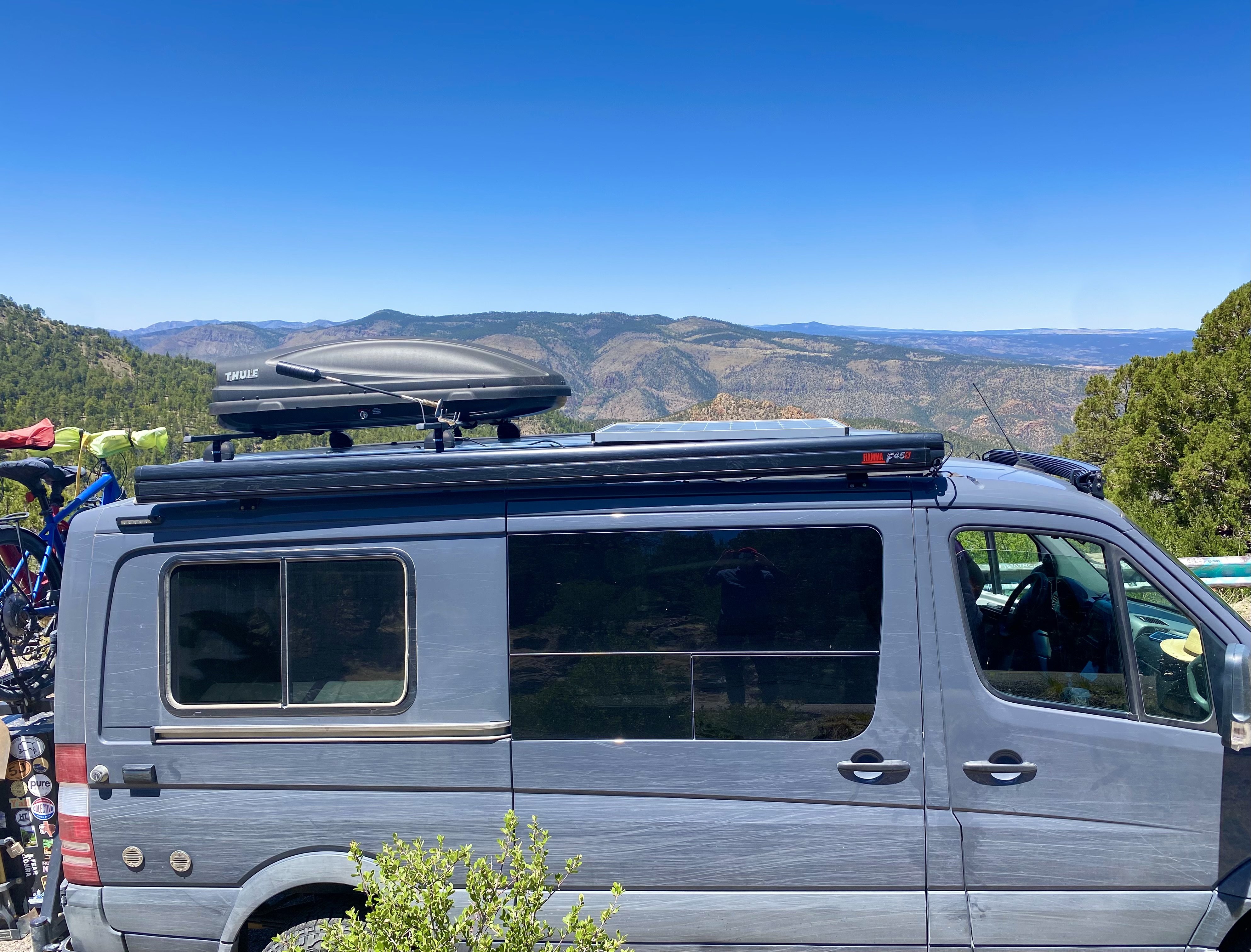
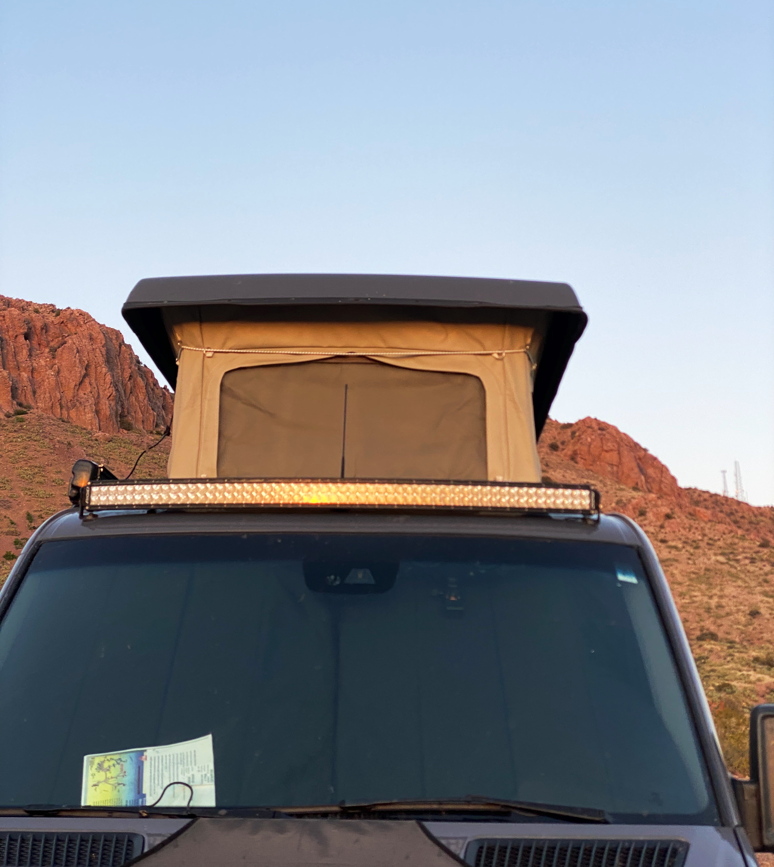
The Beast Sporting Desert Pinstripes

The following morning we traveled to Silver City – as the name infers, this area is a mining district. We spent the afternoon at the Tranquil Buzz Coffee Shop drinking coffee, meeting local folks and listening to live music. Eventually, we made our way outside of town to boondock in the Burro Mountain area of the Gila National Forest.

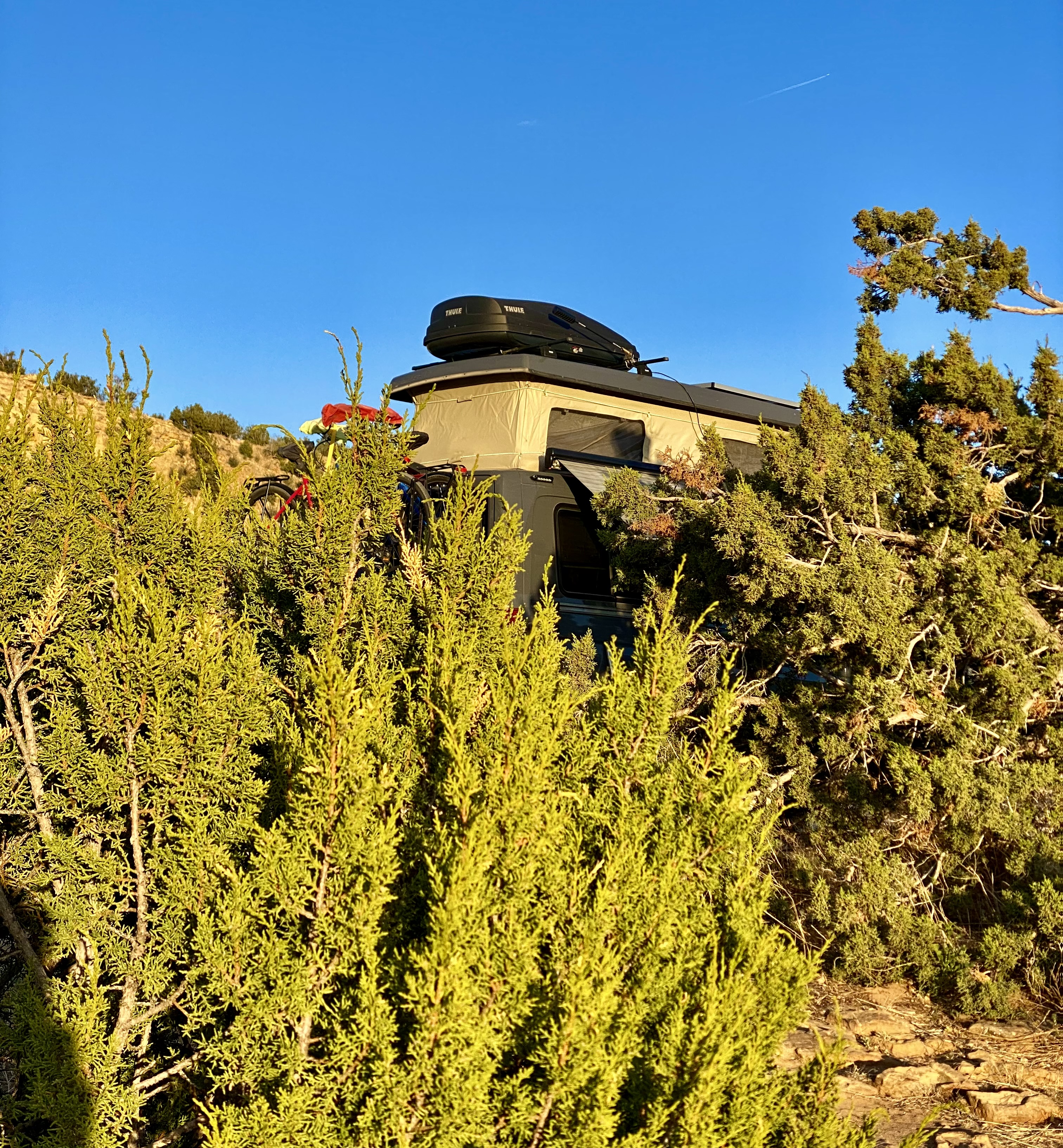
Dispersed CampingGila National Forest

In our next post we will chronicle our stay in Silver City and our journey northward in scenic Western New Mexico.

Be seeing you!